
An Autumnal Walk up Cnicht, Eryri (Snowdonia)
Cnicht ‘The Welsh Matterhorn’ has been on my list for a long time, it’s such an interesting walk with varied terrain and some fabulous views out to sea and across Snowdonia. This circuar route of Cnicht starts from Gelli Iago, an alternative to starting from Croesor which is much busier.
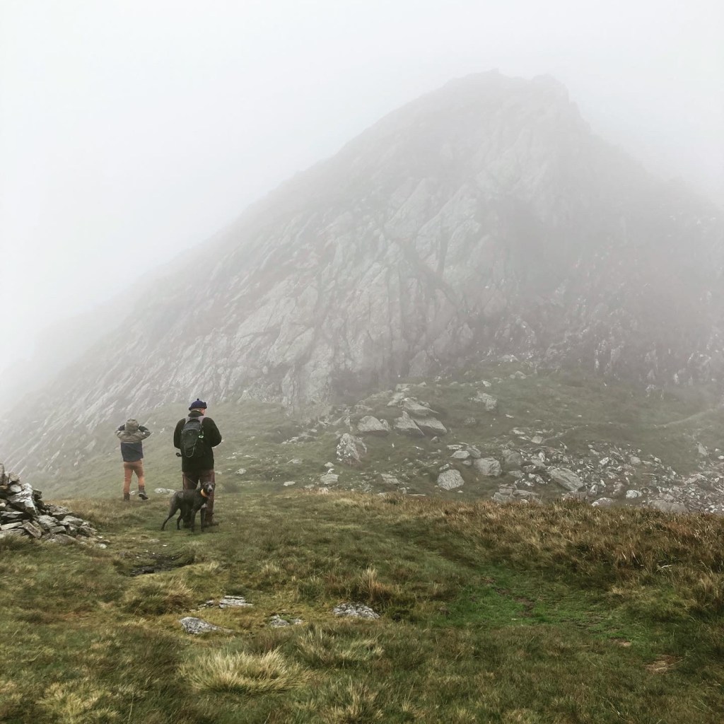
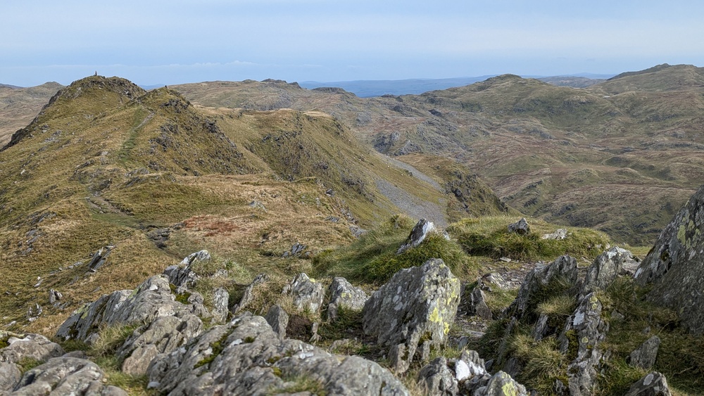
(The photos are from two trips, I had to go back to get the views after a cloudy summit on my first visit!)

Height – 2265 feet / 690 metres (53rd highest in Eryri)
Mountain Range – Moelwynion
English Meaning – Knight – aka The Welsh Matterhorn
Pronounced – ker-nicht
See my full list of mountains over 2000ft in Eryri (Snowdonia)
How easy is Cnicht Mountain?
The walk shown took around 4 1/2 hrs. It’s a fairly straightforward path to follow although there are opportunities to get lost if visibility is poor so make sure you check the weather and also that a member of your party can read a map and use a compass. There is no exposure and a tiny amount of scrambling on the top. You’ll need a decent level of fitness.

Where to park to walk up Cnicht?

Rather than starting from Croesor, we parked in a lay-by that fitted around 10 or so cars. If you put Gelli Iago / Nantmor Mountain Centre into Google Maps or your Sat Nav, you’ll see the layby on the left-hand side as you’re approaching from the north. The path starts just a short walk down the road.

Cnicht Weather Report
I use the mountain forecast website. Click here for an up-to-date report on Cnicht Weather today. You can also see the report for the next week.
Circular Route up Cnicht
My route is on OS Maps Here – Cnicht Route – if you aren’t already subscribed to the premium version of OS Maps you will only see the basic mapping layer – subscribe for just a few pounds a month for access to all topographic mapping (like the image above with all the contours showing) wherever you are in the uk.

There are a few routes to choose from but we chose a simple loop that returned us just a little way up the road from the layby. So not too long on the road.
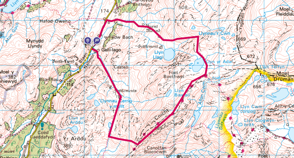
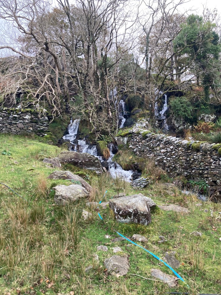
The path starts really gently, crossing a stream and then quite gently winding up the hill


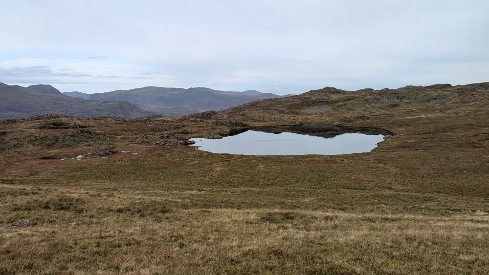
After passing this little lake on the left we needed to keep an eye out for where best to cut across to pick up the Cambrian Way and then head up to the summit. If we stuck to the path we would lose quite a bit of height.
There wasn’t a clear path on the ground so we just picked our way across some roughish terrain.

On my second visit I chose to walk further down to a fenceline before cutting the corner to get up onto the Cambrian way and join all the people walking up from Croesor. You can just keep walking and join the Cambrian way further down if you don’t want to leave the official path.

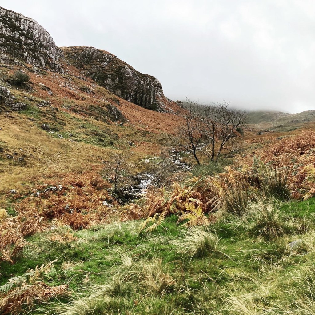
The top is rocky, we lost all visibility as we approached the summit but the path is clear. The route we took down needed a little concentration to make sure you didn’t lose the path. Take the left just as you pass Llyn yr Adar


See my full list of mountains over 2000ft in Eryri (Snowdonia)
Leave a Reply to SharonCancel reply