
Clwydian Range Walks in North Wales
Clwydian Hills & Walks
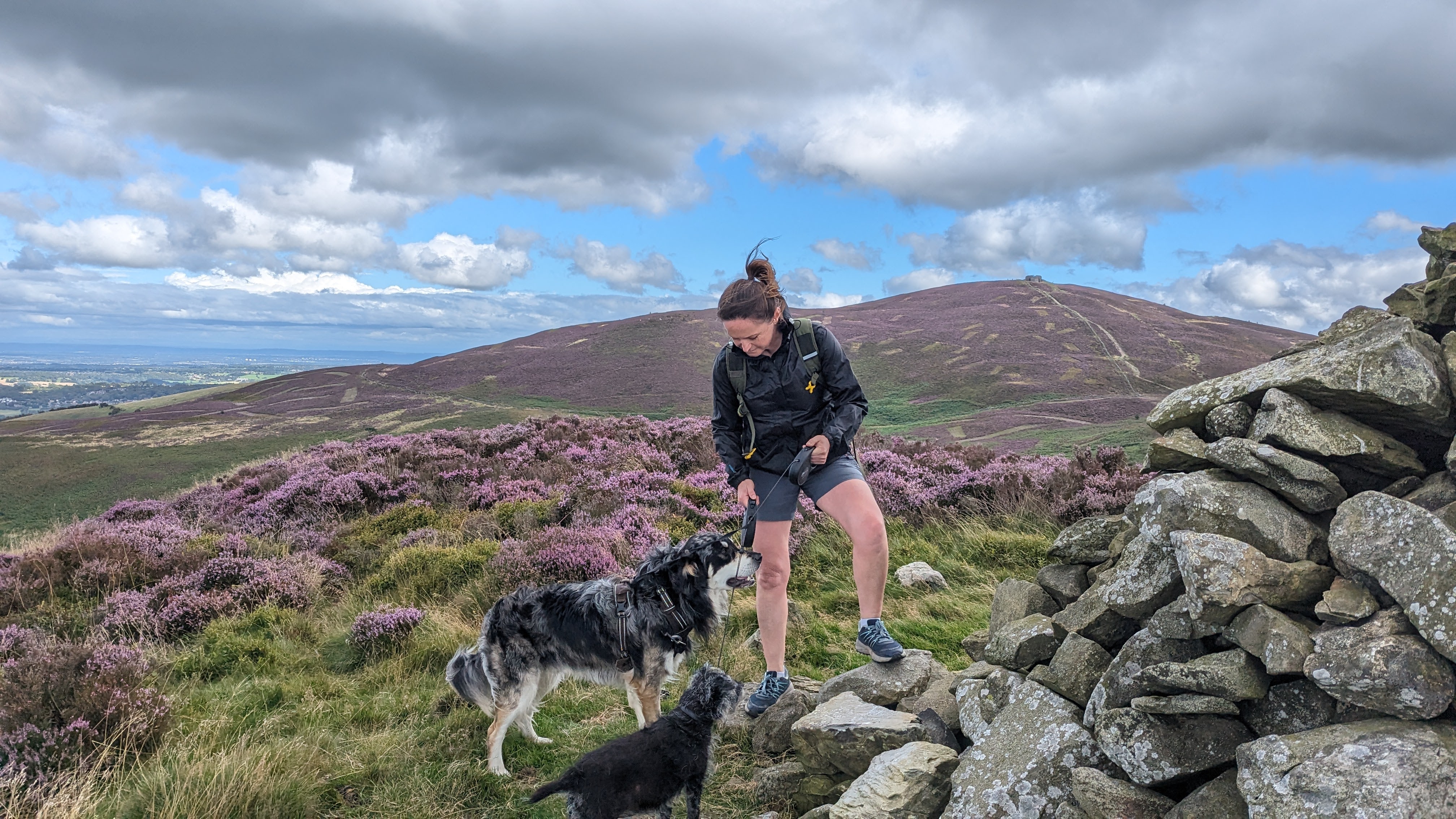
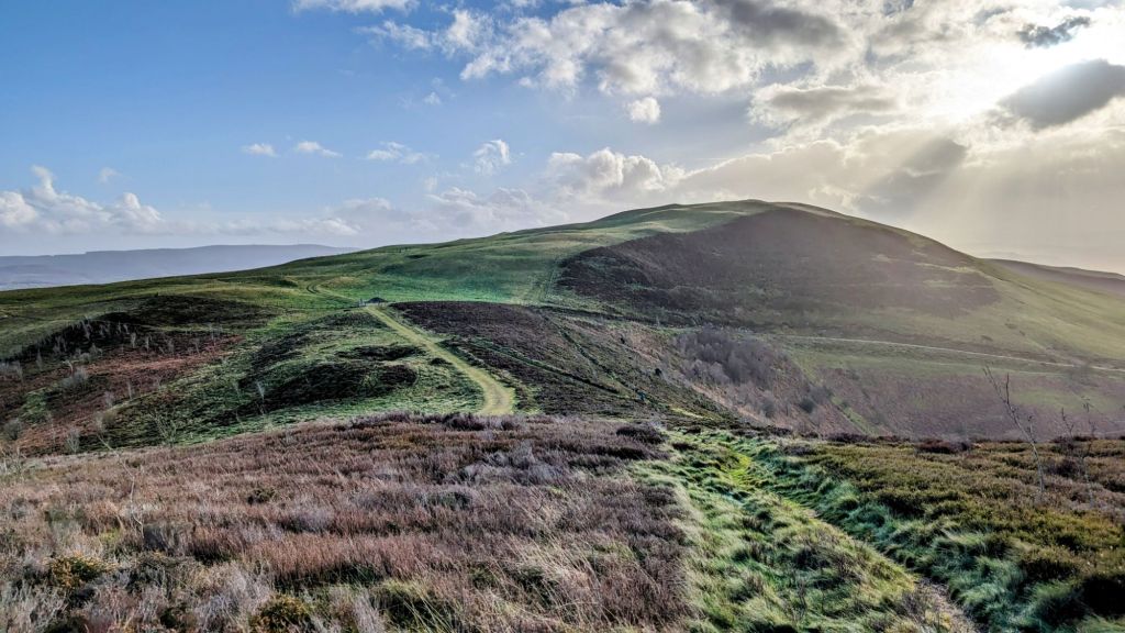
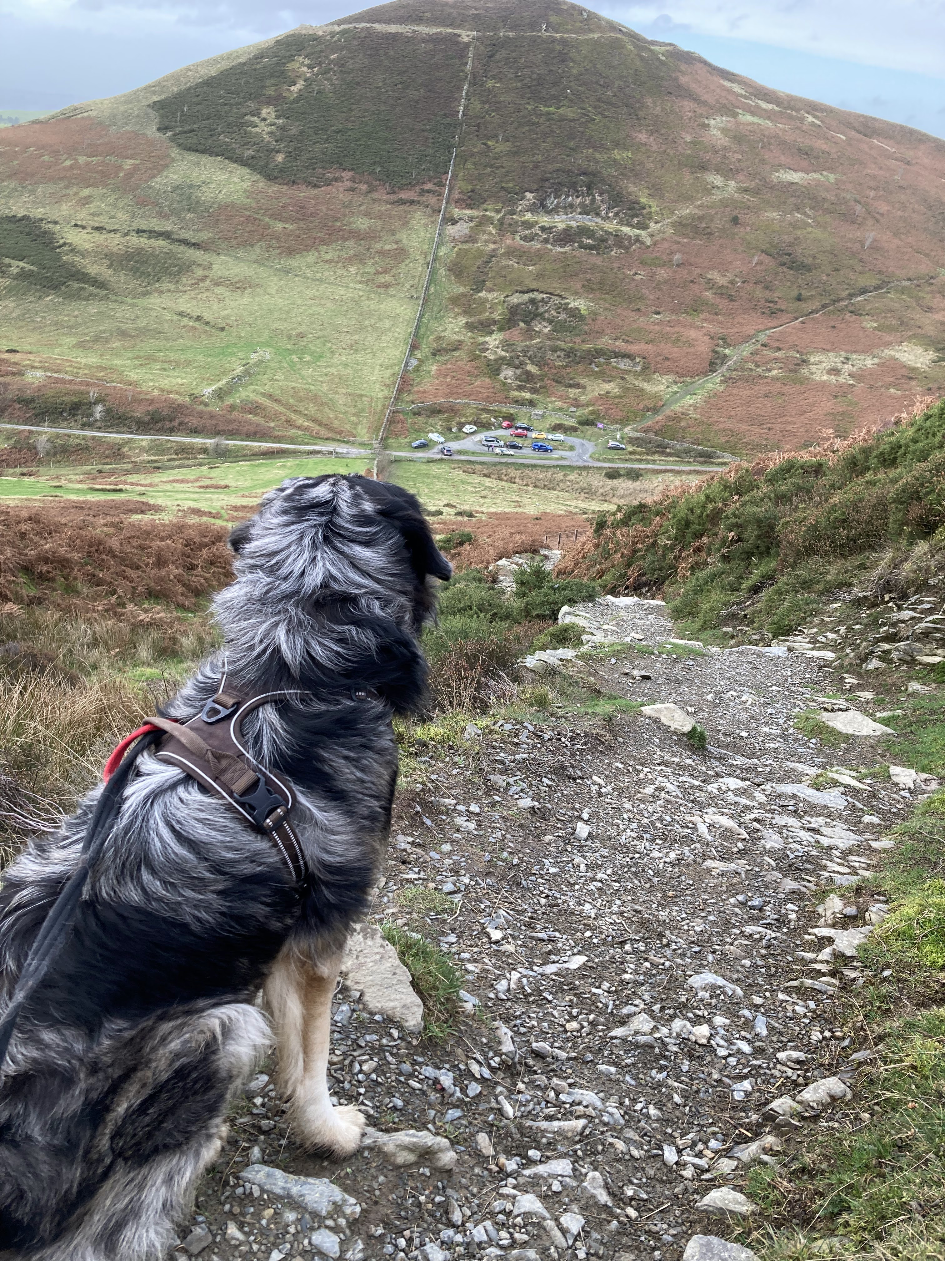
The Clwydian Range is a striking chain of hills in North Wales covered in vibrant purple heather moorland, topped by some of Britain’s most dramatically situated hillforts. There are so many beautiful walks in the Clwydian Hills, especially as the Offa’s Dyke National Trail follows almost the entire length of the ridge crest. There are plentiful paths to walk in the Clwydian Hills / Bryniau Clwyd, including lots of short walks suitable for families of all ages and dogs too!
Clwydian Range Hills in Height Order – Click the links for Hillwalking
Guides and Historic Information
Clwydian Range Hills
| Clwydian Range Hill Name | Height in Metres | Highlights |
|---|---|---|
| Moel Famau | 555 | |
| Moel Fenlli | 511 | Bronze Age Hillfort |
| Moel Dywyll | 475 | |
| Moel Gyw | 467 | |
| Moel Llys y Coed | 465 | |
| Moel Arthur | 456 | Bronze Age Hillfort |
| Moel Llanfair | 447 | |
| Penycloddiau | 440 | Bronze Age Hillfort |
| Moel y Plâs | 440 | |
| Moel Eithinen | 434 | |
| Moel Plas-yw | 420 | |
| Moel y Waun | 412 | |
| Moel yr Acre | 400 | |
| Gyrn | 384 | |
| Moel y Parc | 381 | |
| Moel y Gelli | 361 | |
| Moel y Gaer | 339 | Bronze Age Hillfort |
| Mynydd y Cwm | 300 | |
| Moel Maenefa | 290 | |
| Moel Hiraddug | 265 | Bronze Age Hillfort |
| Moel y Gaer | 258 | |
| Bryn Coed yr Esgob | 211 | |
| Meliden Mountain – Graig Fawr | 153 |
Many of the hills in the Clwydian Range walks linked to in this post are in fact ancient Bronze Age Hillforts, I’ve added a little bit more information about this at the end of this post.
In 1985, the Clwydian Range, spanning 21 miles, was declared an Area of Outstanding Natural Beauty (AONB). This designation recognises its landscapes, culture, flora, and fauna as valuable assets to the nation and affords it a level of protection.
Is the Clwydian Range a National Park?
There is a pledge from the current government in Wales to turn the Clwydian Range and Dee Valley AONB into a National Park. There are many who oppose the introduction of this new National Pak in North East Wales. The decision is to be made before the next election in 2026 – find out more on the North East Wales National Park Wiki Page including the reasons people are for and against the introduction of this new National Park in Wales.
How many peaks are there in the Clwydian Range Hills?
Finding Clwydian Range Walks to try: Below is a list of 22 peaks in the Clwydian Range, all of which are over 200m, except for Craig Fawr which is just below. I’ve included Craig Fawr because it’s one of my favourite (very) short walks as I grew up with a view of it everyday and it’s one of my go to dog walks. Although there may be additional smaller peaks, my list just includes the main hills I found on the Clwydian Range wiki list.
Scroll down for a full list of the peaks of the Clwydian Hills and their respective height in metres.

What is the Clwydian Range Landscape like?
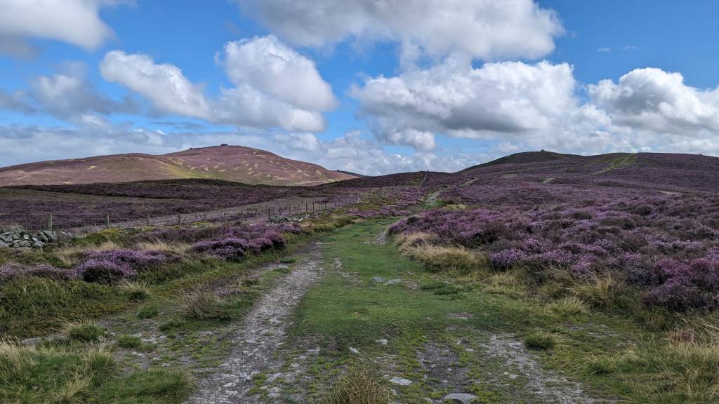
This incredible landscape in North Wales is composed of heather moorland, limestone cliffs, magical wooded valleys, and gentle pastures. There are two main rivers that cut through these hills – the Alyn and The Wheeler. These rivers often disappear underground into secret water courses among the limestone.
As you walk the Clwydian Hills on a good day you can see everything from Snowdonia to Merseyside with huge 360 degree views to take in.

A list of all of the peaks in The Clwydian Range with height in metres.
I’ve walked many of these hills but over the next few months (or years!) I’ll be adding in links to my write ups which will include where to park, distances, routes and points of interest. I want to find the best Clwydian Range walks and enjoy them at various times of the year to get a full appreciation of these beautiful hills with such amazing ancient history associated with them. Click on the links for the pictures and description of the walks.
I have also created a Reddit Community to discuss Clwydian Range Walks – click and do join in if you’d like to share any details or add a comment below – I welcome links to other posts on the subject too.
Clwydian Range Hills From North to South
Bryn Coed yr Esgob (Prestatyn) 211m
Craig Fawr Meliden 153m
Moel Hiraddug 265m (Bronze Age Hillfort)
Mynydd y Cwm 300m
Moel Maenefa 290m
Moel y Gaer 258m (Bodfari)
Moel y Parc 381m
Penycloddiau Hill Fort 440m
Moel Arthur 456m (Bronze Age Hillfort)
Moel Plas-yw 420m
Moel Llys-y-coed 465m
Moel Dywyll 475m
Moel Famau 555m
Moel y Gaer 339m (Llanbedr)
Moel Fenlli 511m (Bronze Age Hillfort)
Moel Eithinen 434m
Gyrn 384m
Moel Gyw 467m
Moel Llanfair 447m
Moel y Plâs 440m
Moel y Gelli 361m
Moel y Waun 412m
Moel yr Acre 400m
Which Map is best for walking in the Clwydian Range?

The Clwydian Range Geology (a simple version!)
The Vale of Clwyd is said to be one of the best examples in Britain of a rift valley. A rift valley is a linear-shaped lowland nestled between highlands or mountain ranges, formed by the powerful forces of geologic rift or faulting. The Vale of Clwyd showcases this geological feature perfectly, with its wide and flat basin surrounded by the Clwydian Hills to the East and the lowlands of the Denbigh Moors to the west
.
The formation of the Clwydian Range began over four thousand million years ago, during a time when the whole area was submerged under water. As tectonic plates shifted and collided soft silt turned into slate, sandstone, and marble. This process also created folds in the earth’s crust, which we can still admire today in the attractive peaks and valleys of the Clwydian Range. As time went by, more and more sediment settled on top of these rocks. Eventually, the land rose above sea level, giving birth to the beautiful Vale of Clwyd. This fertile and picturesque lowland has been home to humans for thousands of years, offering a haven of natural beauty and history.
Stone, Bronze & Iron Age Settlers in the Clwydian Range Hills
Approximately 230,000 years ago, it is believed that Neanderthals, an extinct human species, established settlements in the Vale of Clwyd. Recent excavations conducted at Pontnewydd Cave near St Asaph have unearthed rudimentary stone tools and human teeth, shedding light on this ancient population.
Fast forward another 229,000 years and the Celts began to create Hill Forts in the Clwydian Range. This was the start of the Iron Age around 700 BC.
Moel Fenlli, Moel Arthur, Pen y Cloddiau, Moel Hirradug and Moely Gaer are all examples of these ancient Hill Forts and it’s still clear to see the shape of the defences they built (especially in the age of drones where we can easily take aerial photos of the Hill Forts). The Hill Forts of the Clwydian Range are usually oval and consist of earth, rubble or stone walls, sometime two or three of them with deep ditches in between. The Iron Age villagers of the Clwydians would have enjoyed the protection of these ramparts from marauding tribes and had some pretty excellent views to boot!
Leave a Reply