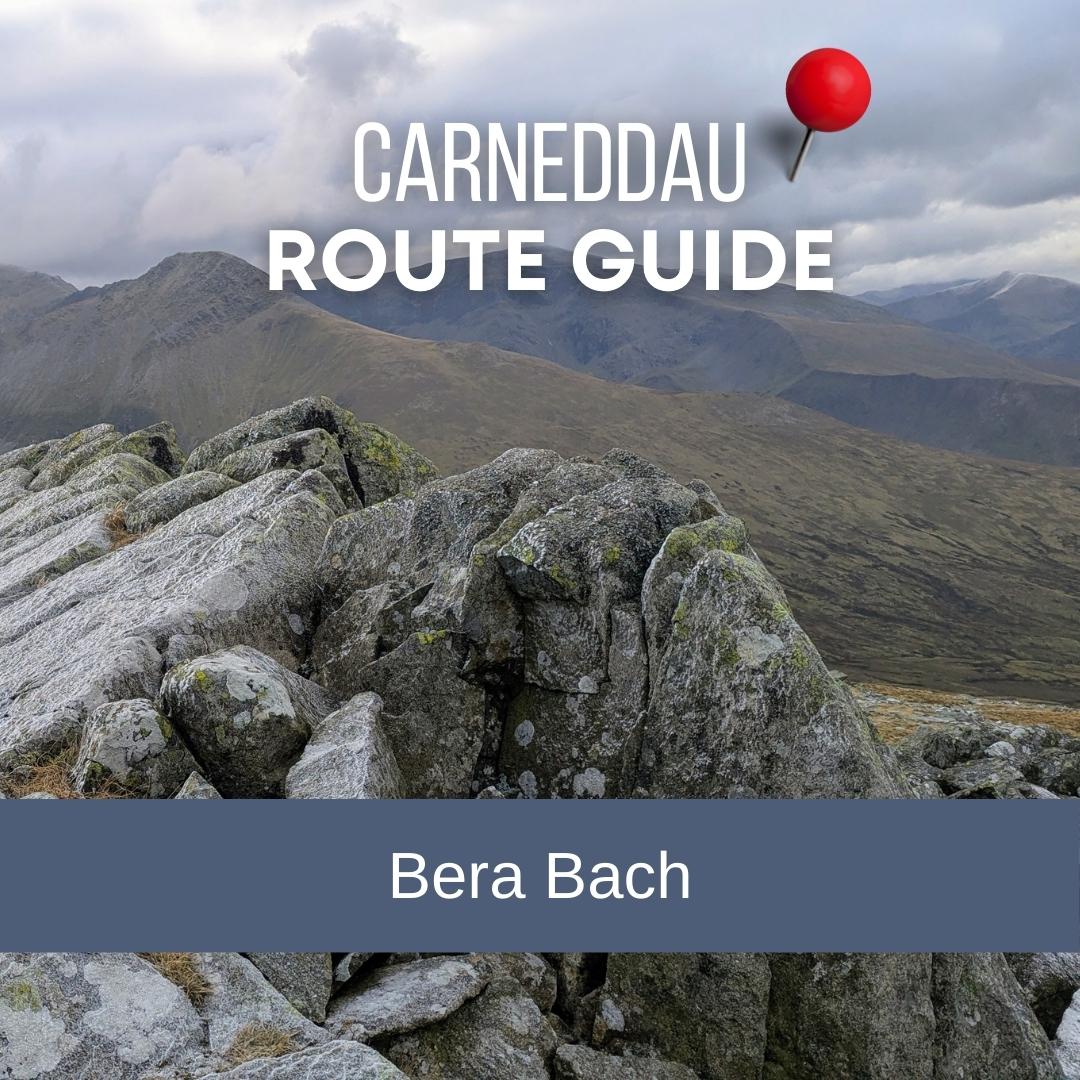
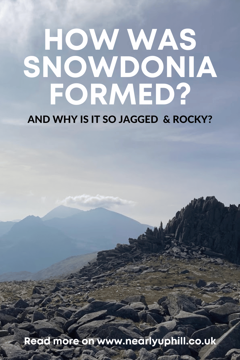
Bera Bach from Abergwyngregyn: A Walk Above Aber Falls into the Carneddau
If you are looking for walks around Aber Falls that go beyond the popular viewpoint path, this route up to Bera Bach is a brilliant option. Starting from Abergwyngregyn, it climbs quickly out of the valley and into the wide, quiet hills of the Carneddau, with big views, wild ponies, and a real sense of solitude.

This route is a great way to explore the Berau, the paired hills of Bera Bach and Bera Mawr, and is an excellent way to access the northern Carneddau without the crowds found in the Ogwen Valley.
Where is Bera Bach?

Bera Bach sits above Aber Falls in the northern Carneddau, overlooking Abergwyngregyn and the North Wales coast. It is often overlooked in favour of higher or more famous Carneddau summits, but its position gives it excellent views, of the Carneddau and Glyderau, as well as back towards the sea and across to Bera Mawr. You can even see Yr Eifl from here.

How high is Bera Bach?
Bera Bach is 807 metres high, making it slightly higher than Bera Mawr which is 794 metres, despite its name. In Welsh, bach means small and mawr means big, while bera translates as stack. Together they form the Berau, often referred to as the small stack and the big stack.


The naming likely comes from how the hills look from the Aber Falls side, where Bera Mawr appears more dominant and Bera Bach is largely hidden from view – but I did wonder if the OS had just mixed up the names!
How long does it take to walk up Bera Bach?
This route from Abergwyngregyn to Bera Bach took me 5 and a half hours at a steady pace. That allows time for navigation, snack stops, and enjoying the views above Aber Falls and across the Carneddau plateau. There are loads of options to extend this route to tick off more summits and you could also add in a visit to the falls first or at the end if you haven’t been before.
How far is the walk and how much ascent is there?
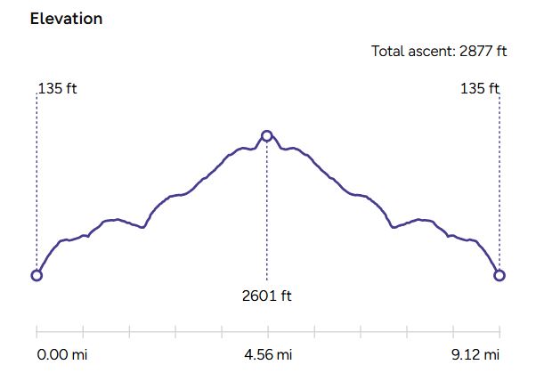
- Distance: approximately 15 km (9 miles)
- Ascent: around 876 m (2600 feet)
Is Bera Bach a difficult walk?
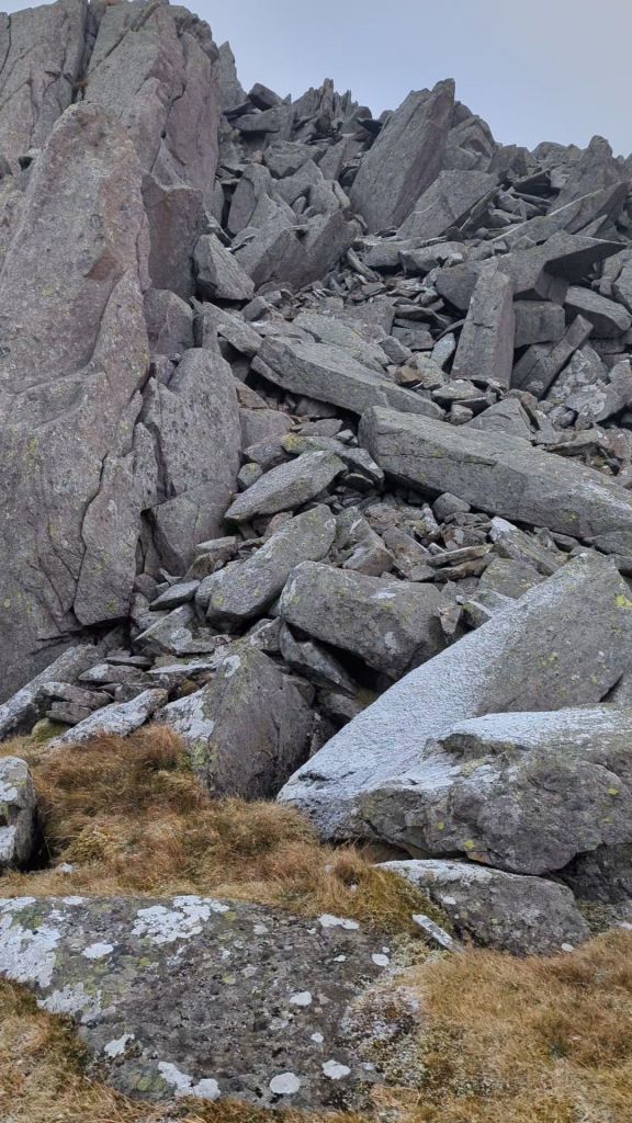
Bera Bach is not technically difficult, but it is a proper mountain walk and it is very steep in certain sections. The path can be faint in places, particularly above Aber Falls, and good navigation is essential in poor visibility so be sure to check the summit weather. The summit area is very rocky and involves a short, easy scramble to get right to the very top.
In summer, bracken can make sections of the route harder to follow, so regular checks with a map or the OS Maps app are important.
Where do you park for walking up to the Berau
I parked legally on the side of the road right by the start of the path, ensuring I wasn’t blocking any passing places. There are quite a few places to park on the road here, but on busy summer weekends and bank holidays, you may have to hunt around a bit and expect a bit of chaos as the road is so busy with tourists visiting Aber Falls, coming to and fro from the main National Trust car park for the falls.
Route description: Bera Bach from Abergwyngregyn

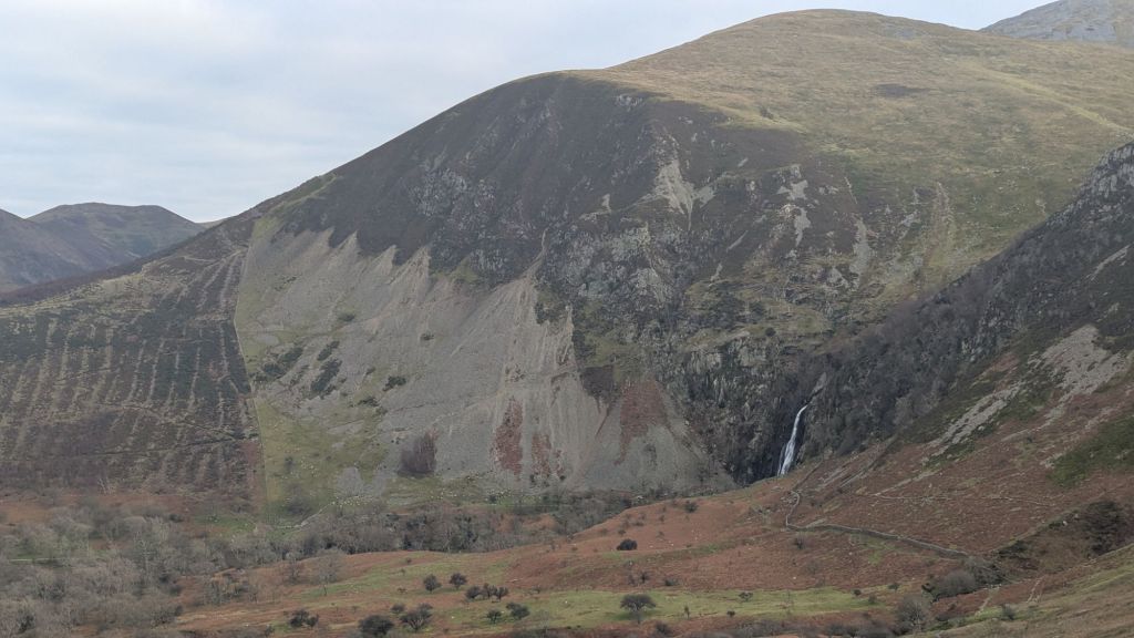
The walk starts in Abergwyngregyn, best known for being the village you drive through to reach Aber Falls. The footpath is clearly marked on the right hand side of the narrow road as you follow signs for Aber Falls.
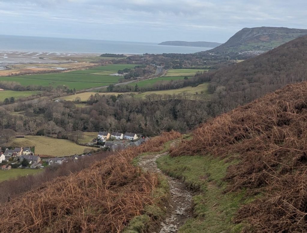
It starts with a really steep path that quickly takes you up to the North Wales Coast Path. You get some absolutely epic views of the North Wales coast and Penmaenmawr Head as you walk out of a very short woodland section.
When you reach the coast path turn left and follow the large grassy path as it contours along the flanks of the small hill, Fridd Ddu.
Ffridd is a word that doesn’t have a simple translation to English. It refers the mosaic of habitats found lying between the enclosed farmland of the valley floor and the higher upland farms and open common land, a natural transition between the two. Ffridd landscapes can consist of heath, bracken, woodland, scrub and acid grassland.
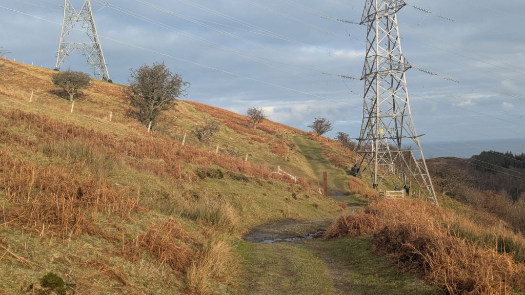
After passing through a gate near some pylons, look out carefully for a path leading uphill. This is easy to miss if you are not concentrating, but it is an important turning point on the route if you miss it and continue on you’ll carry on to the falls themselves.

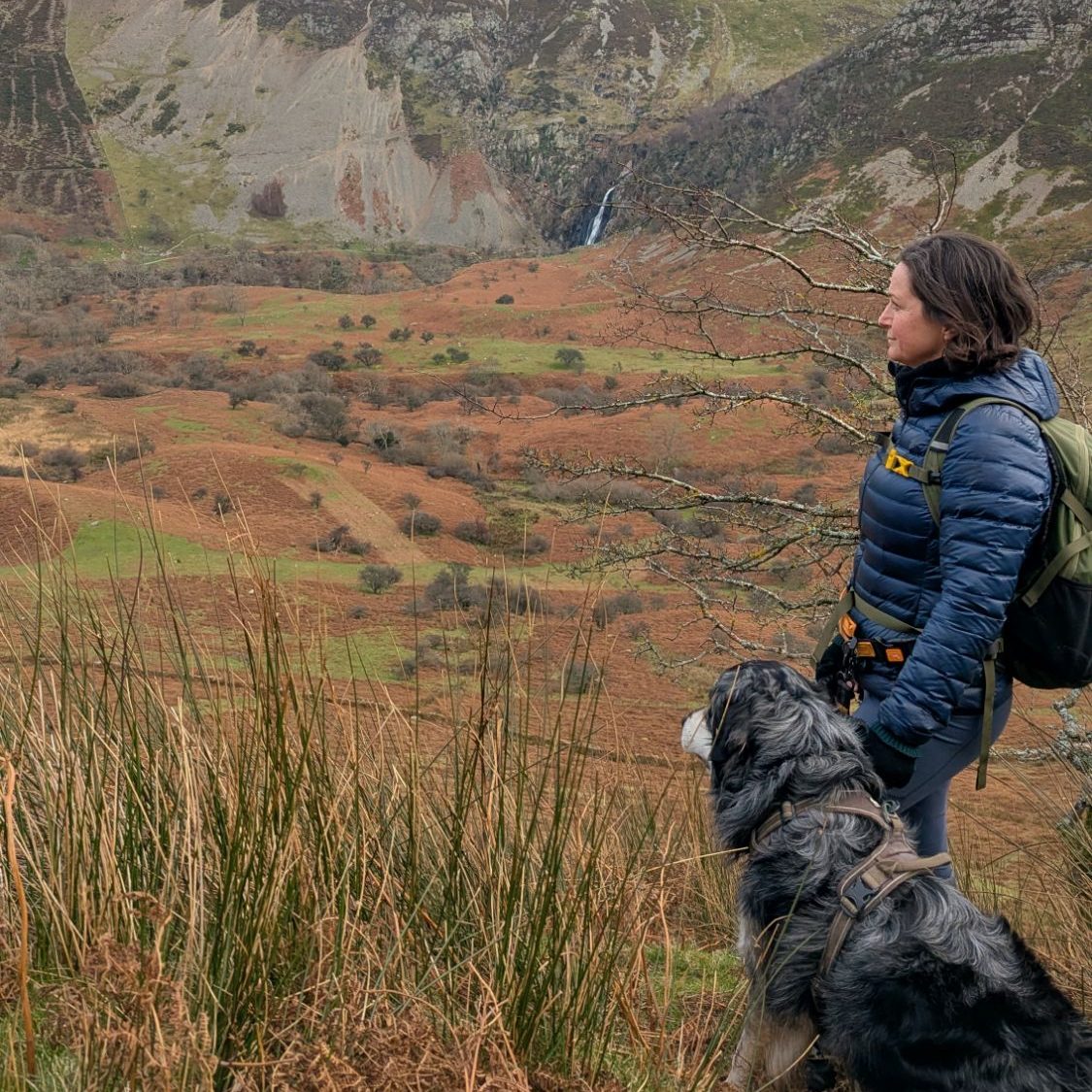
From here, the path heads diagonally uphill towards a ladder stile and a collection of old stone sheep pens. The route then swings left again and opens up spectacular views of Aber Falls, dropping away below. This is one of my favourite sections of path in the whole of Eryri, quiet and open, and it feels far removed from the busy falls path below. If you are lucky, you may also spot a few Carneddau ponies in this section, which are often found grazing up on the higher ground.
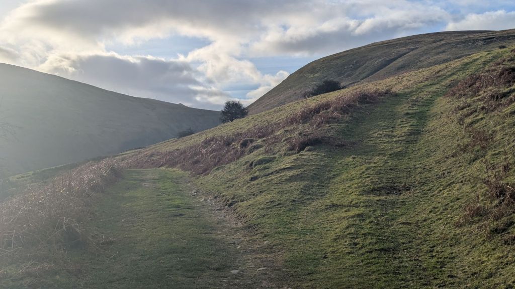
As you continue, keep an eye out for where the path begins to climb up to the right. It is easy to carry straight on and gradually lose height, which you then have to regain. This can be particularly tough in summer when the bracken is high. It is best to stay alert here and check your map or the OS Maps app, as the path is a little less obvious at first.
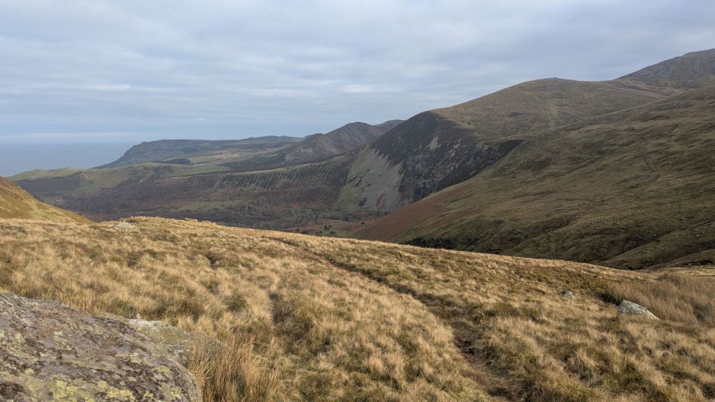
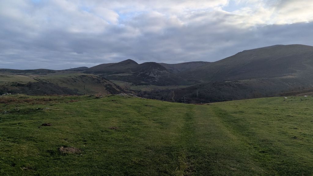
Looking up towards the skyline, the aim is to reach the brow of the hill. There is a path, but if you lose it it is not too much trouble, as once over the brow the ground becomes flat and fairly featureless. A faint path crosses this section, but if you can’t find it simply keep walking until you reach a large, obvious track.
This track leads all the way to the summit of Bera Bach. In places it feels more like a farm road and it slopes up to the right of Drosgl. If you stayed on it, you could continue on to Yr Aryg and Carnedd Gwenllian, where it meets the Cambrian Way.
This route really is an excellent way to access the wider Carneddau, and links well with other routes I have written about in my Carneddau walk guides.
I didn’t have time on this occasion, but it would be easy to turn this into a horseshoe route, descending on the far side of Aber Falls for a longer and very satisfying day.
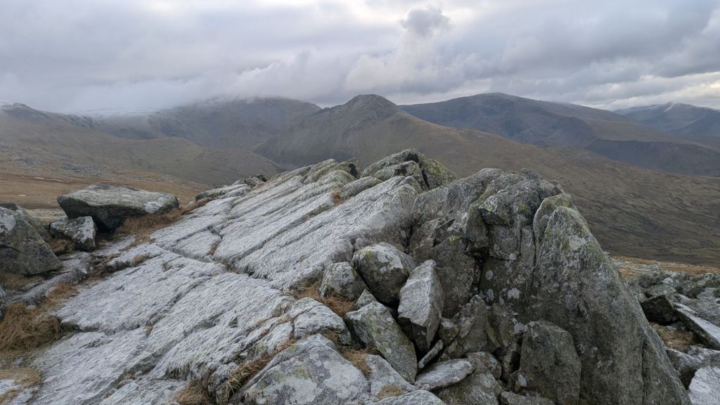
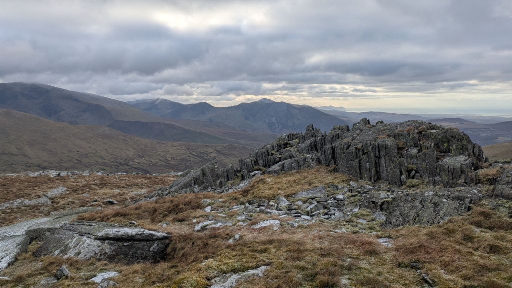
The summit of Bera Bach and views of the Berau

The summit of Bera Bach is very rocky and looks as though someone has dropped a huge pile of stones on the hillside. I now know why these rocky formations appear, having spent time researching orogeny, the creation of mountains, and the freeze thaw processes that leads to these rocky outcrops in Eryri.
Enjoy the short, easy scramble to reach the very top, as the extra views across to Bera Mawr are well worth it and you’ll get a better sense of how the Berau sit above Aber Falls.
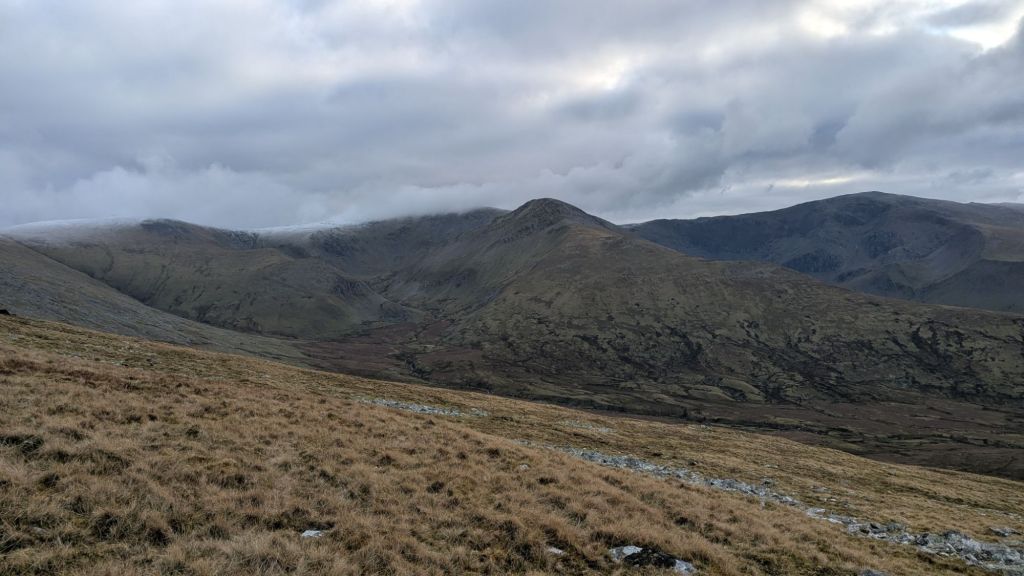
From the summit there are wide views across the Carneddau, including Carnedd Llewelyn and Yr Elen, both of which I have written about in other Carneddau routes. You can also see the jagged outline of Yr Elen’s fabulous Dragon’s Teeth Ridge in the image above.
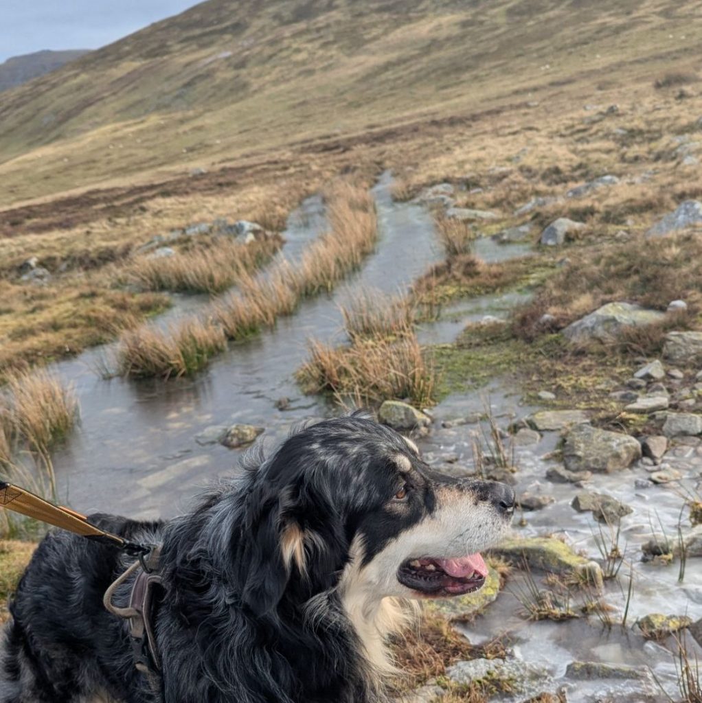
Looking down into the valley below, you will see the Afon Caseg. In Welsh, afon means river, while caseg means mare. It is a fitting name in an area well known for its wild Carneddau ponies.

Is this one of the best walks around Aber Falls?
If you are looking for one of the best walks around Aber Falls, this route offers far more than a short out and back to a viewpoint. It combines beautiful coastal hillside, high mountain terrain, and wide Carneddau and Glyderau views and it’s only a few minutes drive from the main A55 expressway. However you do only get distant views of the falls – which is great if you’ve already visited them or you’re not too keen on that busy path.

Alternative Route Including Aber Falls
If you want to add in a walk to the falls first you could start from the main Aber Falls car park and once you reach the falls continue on the path to the smaller falls and then either follow a stream up to join the path described above or if it’s all obscured by bracken, simply continue on the path up to the point where the main path leads up to the higher path.
Or if you want to avoid the really busy path start from Abergwyngregyn but continue down to the falls before retracing your steps to get back on the path.
Both of these optins will add a chunk of time onto your walk so check you have time / light before you make your decision.
Do leave me a comment of follow me on my Facebook and Instagram pages – let me know if you have done this walk or if you have recommendations for extending it. @nearlyuphill
Leave a Reply