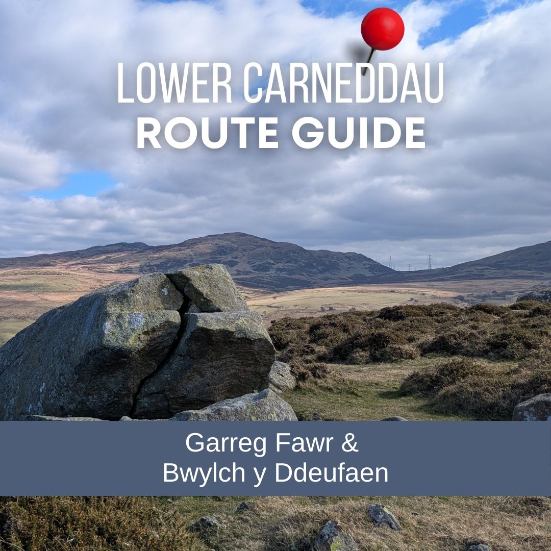
This circular walk starts in Llanfairfechan and takes you up to the excellent viewpoints on Garreg Fawr. From here you’ll be rewarded with big skies and wide-ranging views. The Carneddau rise behind you, and out to the North Wales coast, Puffin Island and Anglesey. I’ve included a full route and a 3D Flythrough of the route which you can jump to by clicking here – Llanfairfechan Garreg Fawr Circular Route Guide

The highest point on the route is at Bwlch y Ddeufaen which means the pass of the two stones. If you’ve got the legs and the time, you can easily extend your day with climbs to Drum or Foel Lwyd for extra height and even broader views. However, this circular itself usually takes around 3 hours and is ideal for a half-day outing with a good mix of terrain.

Being right on the edge of the Carneddau, you might also spot some of the resident Carneddau ponies as you walk.
As you head up towards Garreg Fawr, it’s hard not to start wondering about the history of the site – especially when you see on the map all the historic points, mounds, cairns, settlements. Just a short walk in the other direction takes you to three 5000 year old stone circles – see my Cefn Coch ‘Druid’s Circle’ route guide.
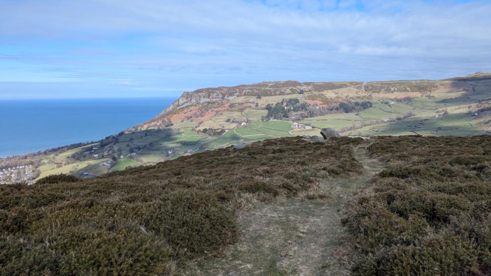
Garreg Fawr is home to an Iron Age settlement, chosen for its wide views over the coast and easy access to the high ground of the Carneddau. Just along the ridge is Dinas, another hillfort above Llanfairfechan, which helps explain why this area feels so well connected rather than remote. You can use Dinas as a useful visual reference as you walk this route – it has a very obvious outline.

The route I’m sharing only touches on small sections of much older paths, but even that adds something extra to the walk. A long-established track runs from Rowen, crossing the hills at Bwlch y Ddeufan and linking the Conwy Valley with the coast. Later, parts of this high ground were used as a Roman road, and in medieval times sections became known as the Pilgrims’ Way, guiding travellers towards religious sites on Anglesey. You are not following these routes in full, but it is reassuring to know that people have been choosing these same lines through the hills for centuries simply because they make sense.
Garreg Fawr Circular Walk – Route Map & Guide

Where to Park
Park in a small layby on a hair-pin bend on the lower side of Nant Y Coed Nature Reserve. There’s room for quite a few cars, but on busy days you can also park a little lower down this road and walk up to the start.

The route starts by heading over the river via s small bridge and then down Valley Road until you reach a footpath sign on the left.


Follow the path up the hill until and pass Hengae Cottages heading up until you reach a track.


Follow the track up the hill until you reach a ladder stile.
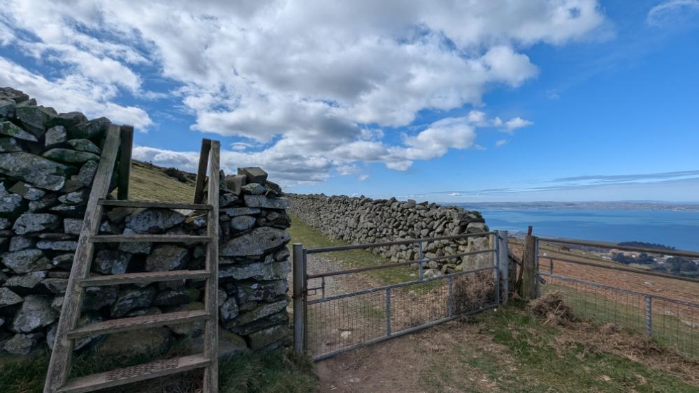
Turn left after the ladder stile and head up the hill towards the summit of Garreg Fawr


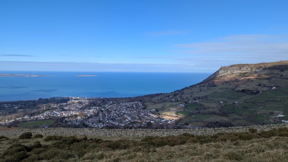
You’ll pass a large cracked rock on your way up to the summit of Garreg Fawr. From here you will see spectacular views not only of the coast but towards the Carneddau.

Just a little further and you’re at the rocky summit of Carreg Fawr – it’s breathtaking!

After the summit of Garreg Fawr your next destination on this route is to get to Bwlch y Ddeufaen, which is the col inbetween Drum and Foel Lwyd, it’s also the highest point in this walk so there’s still some climbing uphill to be done.

If you have a clear day the paths are all visible on the ground from the summit of Garreg Fawr, continue along the path heading down off Garreg Fawr until you reach an obvious left turn heading up towards Bwlch y Ddeufaen.

At this point if you had the time, instead of heading towards Rowen, you could reroute and walk up a track to Drum via Carnedd y Ddelw.

You should see Pylons heading off into the gap (Bwlch y Ddeufaen)between Drum and Foel Lwyd.
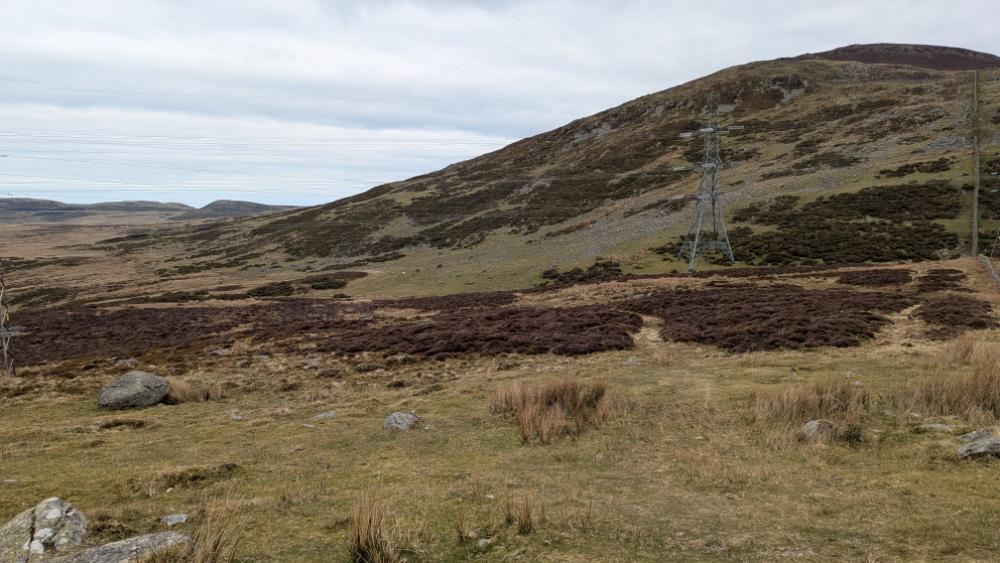


This next section is a bit tricky. Not because it’s steep or exposed – it’s just the path can be a little elusive. There are slate markers with numbers on that pop up randomly amid the gorse to let you know you’re on the right path.
You now head down towards the sea – trying your best to find tracks through the gorse, it can be a bit of a maze if you’re keen not to scratch your legs until you hit upon a clear path.
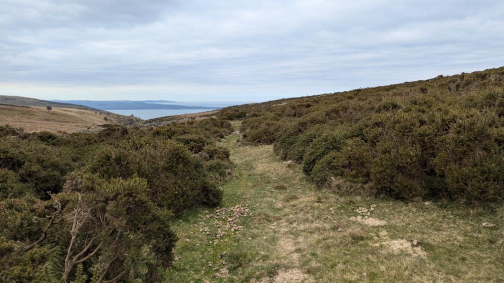
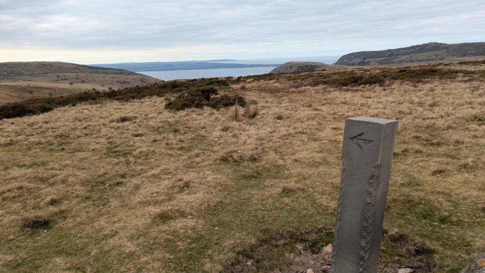
Keep looking for the little slate signs – they’re quite confusing with numbers and wrrows, however I suspect if there were no gorse it would all make more sense – just keep heading towrds the valley to the left of Dinas on your map. Take care not to go too low towards Afon Ddu as it’s banks are steep as you enter the valley and you’ll end up scrabbling back up the hill to find the exit gate.


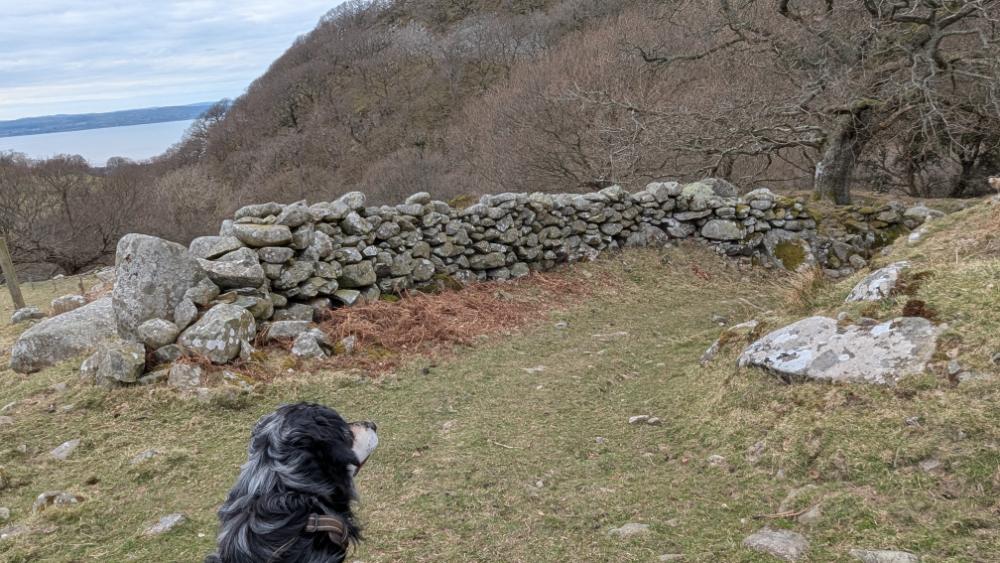


This swing gate leads you back onto Valley road, head down until you reach the bridge crossing from the start.

Alternatively, to the right you’ll see a small car park and the opportunity instead to walk back through Nant Y Coed Nature Reserve. The only difficulty is that there are stepping stones which are often unpassable.
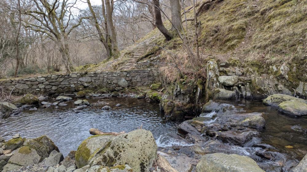
After the stepping stones it’s an easy walk through the pretty woodland of the Nature reserve beneath Dinas directly to the hair pin bend layby where you parked. If you have to turn back simply rejoin Valley Road.
I hope you enjoy this route I have lots more to explore – do leave a comment if you have any questions about the route.
Leave a Reply