
Circular Y Garn Walk, where to park, the best route and tips for a great day up this stunning mountain in the Glyderau
Y Garn Circular Walk
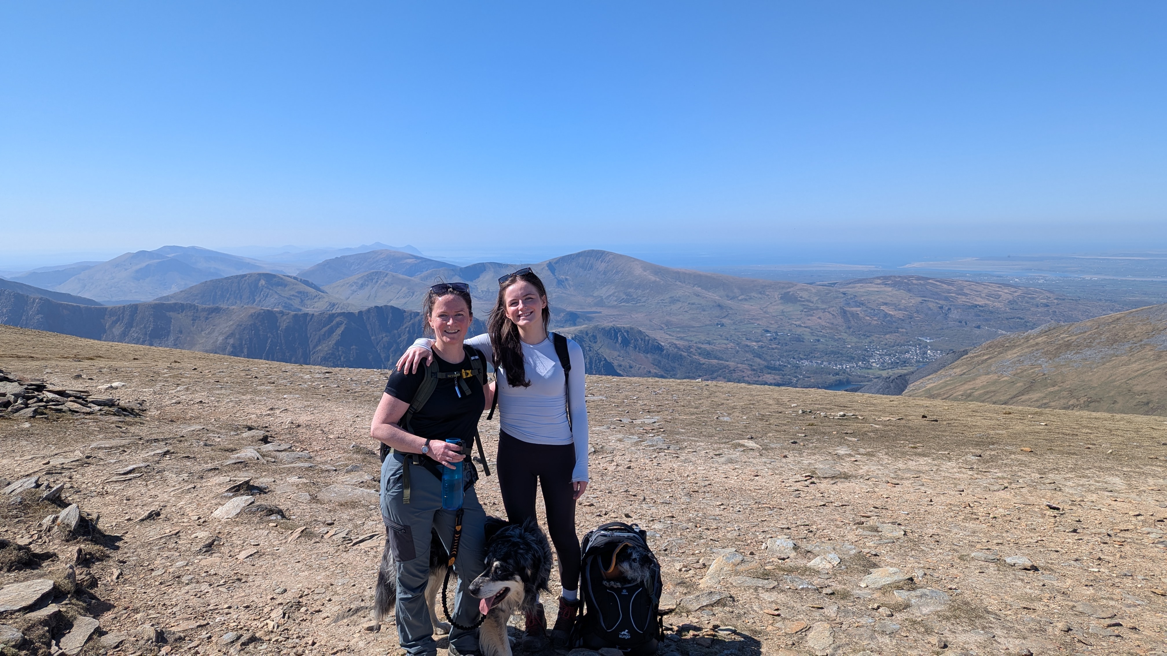
I have done this Y Garn walk a number of times both clockwise and anti-clockwise. It’s perfect for a short walk in the Glyderau. You will enjoy epic views of Yr Wyddfa (Snowdon) and down the Ogwen Valley.
In this post, I’ve added some beautiful pictures of the walk up Y Garn. I hope these pictures will give you a good impression of Y Garn. It is definitely one of the top walks in Eryri.
What’s the Best Route up Y Garn?

My route is on OS Maps Here – Y GARN CIRCULAR ROUTE FROM OGWEN VALLEY
This is the route up Y Garn from Ogwen Valley, I prefer it this way round where you walk up the ridge to the right of Llyn Idwal first to avoid the long slog between Llyn Y Cwn and the Summit the other way around. You can pick your poison though as both directions have steep sections.

How High is Y Garn?
Y Garn is the 10th highest mountain in Eryri (Snowdonia)
Height – 3104 feet / 947 metres
Mountain Range – Glyderau
English Meaning – The Rock / The Cairn
Where to Park for Walking up Y Garn
Parking – Pay for parking at Ogwen Valley Visitor Centre (if you’re lucky or leave very early you may get a space). Alternatively, park in one of the free lay-bys on the A6. Walk the road to the start from the Ogwen Valley Visitor Centre, which has a little cafe and some loos.
NB. If busy DO NOT park on the pavements, head back to Bethesda for the park and ride – your car could get towed away – I’ve seen it happen!
How long will it take to walk up Y Garn?
It really depends on the conditions and your pace. I would allow 4hrs for this circular route. (Some people will do this easily in 3)
Is Y Garn Difficult?
You will need a good level of fitness as the route up Y Garn is steep in areas, it’s a 3000 foot mountain so you’ll also need to make sure you have checked the forecast and you’re properly prepared for any change in weather conditions.
Do you have to scramble up Y Garn?
No! There is no scrambling on this route up to Y Garn. At most there are some rock steps which you may need to hold onto with your hands and there is loose scree as you approach the summit. In the snow this wasn’t a problem!

Is the Path up Y Garn Obvious?
The route up Y Garn is fairly straightforward when you have good visibility, if it’s thick cloud you just need to be extra careful as you approach the summit and make sure you’re on the path and not drifting towards the edges.

Starting the route up Y Garn (anti-clockwise)
The path on the ground is fairly easy to follow. You start by heading up to the left of the visitor centre up a few steps and then making an immediate right turn into ‘Tin Can Alley’ (named the quarry walk on the visitor centre map) Tin Can Alley is a gully with a stile in the middle. It sets you on a really obvious path with rocks that have been laid down to help over boggy areas.
An alternative start, if you want to go via Llyn Idwal first but still want to do this walk anti-clockwise. After the steps up from the visitor centre carry on along the path all the way to the lake and then at the gate head right up over a grassy bank and back towards the path up to the start of Y Garn.
After passsing through the gate in the wall there’s a clear path to the right which starts the steep climb up y Garn.
It is steep (take breathers and enjoy the view!) You can pick your way up through the rocks quite easily, with no real need for any use of hands.
Llyn Clyd
You can take a little detour and stop for a snack by pretty Llyn Clyd, there are 2 little lakes in Cwm Clyd, the views from here are stunning and if it looks like awful clag on the top you can call it a day there and head back down, still feeling like you have achieved a lovely walk. I have done this a few times!
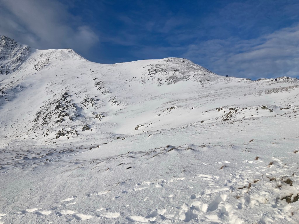
After you see Llyn Clyd then the really steep section begins, on a good day you can see exactly what’s in store as you make your way up the ridge.
As with all mountains if the weather comes in and visibility goes you need to make sure you have experience navigating. Check the weather conditions and if you’re not experienced in low visibility then it’s probably best to remain at a lower level for your walk.
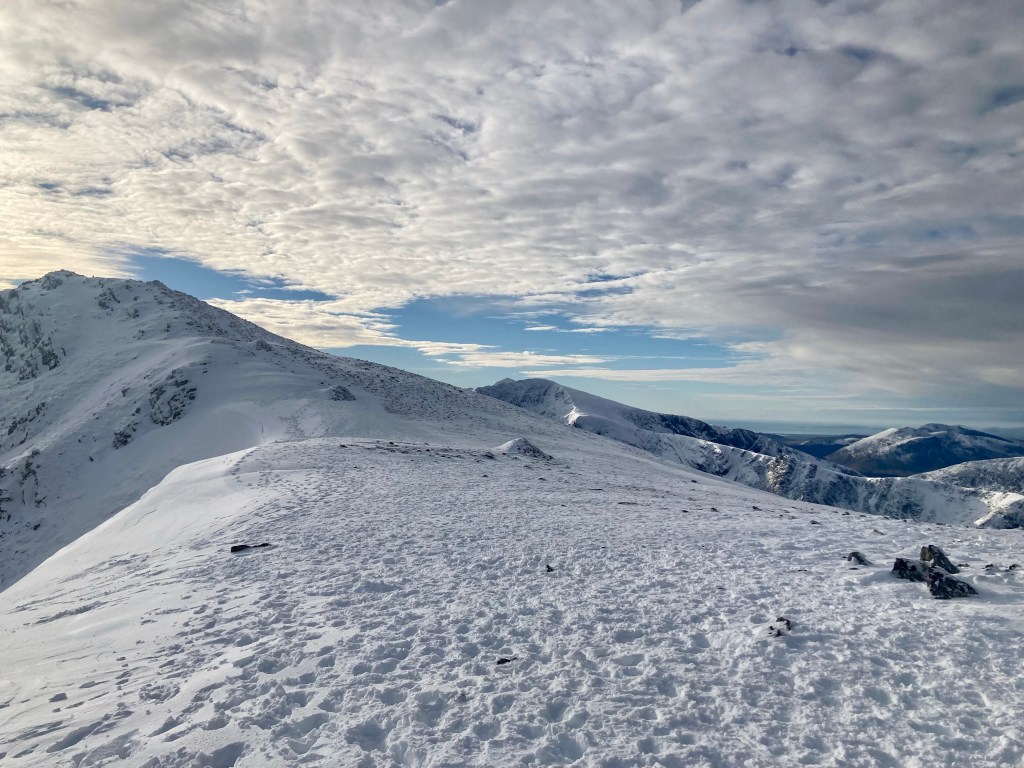
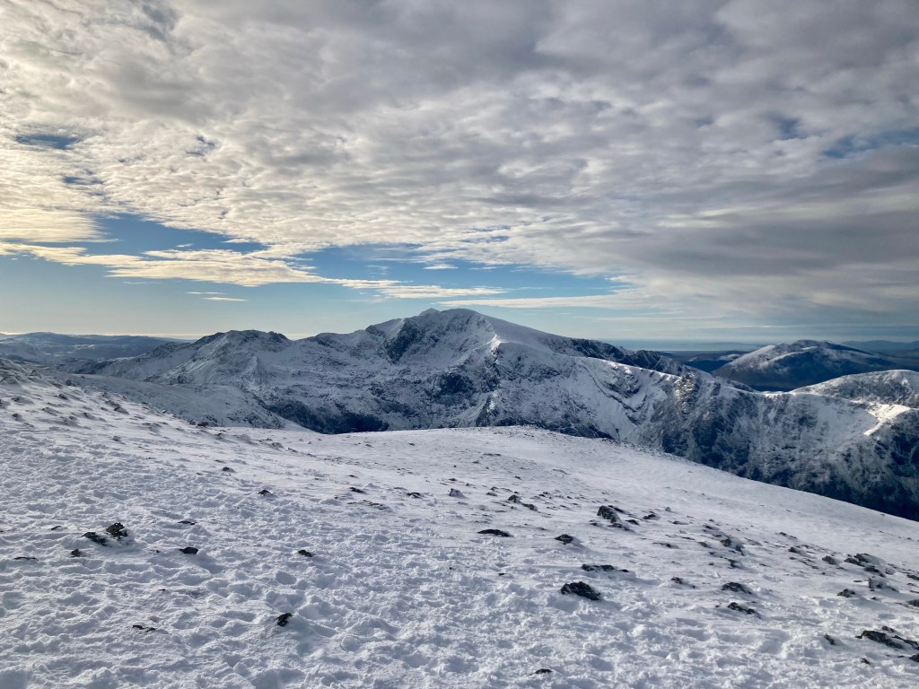
Stunning Views of the Ogwen Valley


Epic Views of the Snowdon Massif


You could extend this walk and take in both Glyder Fach and Fawr, however the route I took down on this occasion goes via Devil’s Kitchen path. Don’t be put off by the name, it’s actually a very straightforward descent.

Devil’s Kitchen
On the way down from the summit you’ll know exactly when to turn left for the Devil’s kitchen descent as you will find Llyn y Cwn.

As long as you have decent knees or some poles it’s a really good path that has been improved vastly by volunteers. It’s a different story in the snow, a little sliding on our backsides.

The Ogwen Valley gets very busy so if you are looking for solitude and imagining walking alone in the mountains go on a weekday! I was up there recently at 8pm in the dark on an early February evening and there were still quite a few people with head torches.

Let me know on Instagram @nearlyuphill if you enjoyed this walk or if you have anything to add to my description.
Leave a Reply