
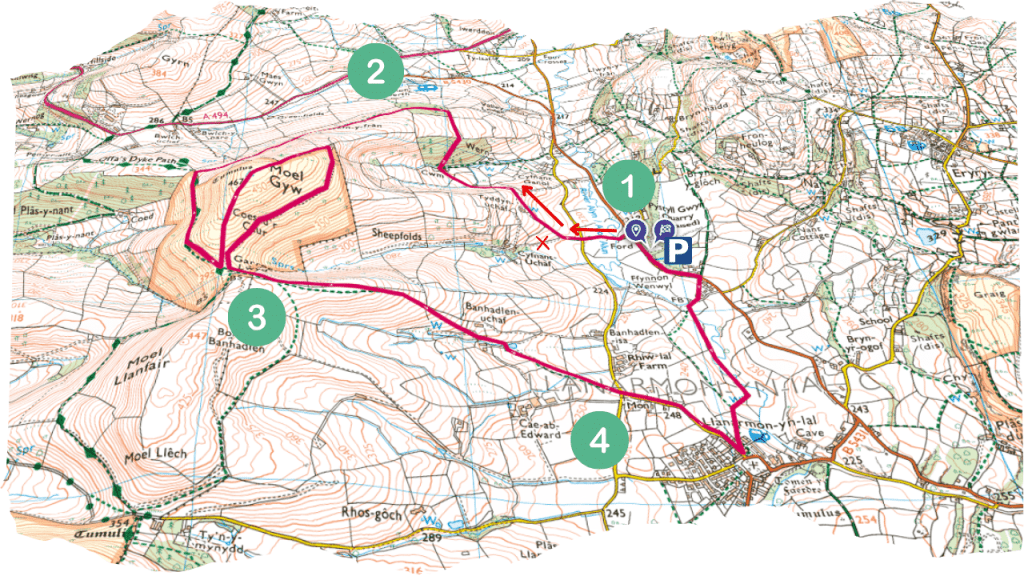
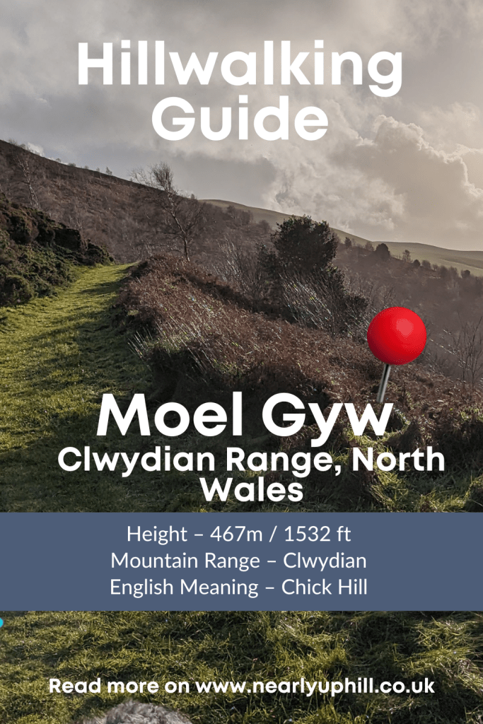
Moel Gyw Walk – Clwydian Range
This walk up Moel Gyw in the Clwydian Range is a lovely circular walk with free parking (got to love a walk with free parking!). It should take you around 3hrs start to finish assuming you don’t stop off in the Raven Pub.
The route has lots to offer with footpaths that run through attractive hillside fields, old woodland and alongside streams. As you ascend Moel Gyw itself you’ll be treated to the iconic heather clad slopes synonymous with the Clwydian Range hills.
Moel Gyw is south of the more popular Moel Famau and Foel Fenlli. You will get great views of the surrounding Clywdian Range hills on this route. You can find a full list of all 22 peaks in the Clwydian Range in my Clwydian Range Walks Guide
Distance – 5.75 miles
Duration – Allow yourself at least 3hrs unless you plan to run it.

Moel Gyw Parking – Free Car Park

Parking is at Pistyll Gwyn Quarry, there is enough room for around 20 cars so it’s unlikely you’ll have a problem finding a space. I’ve also made a note of the start of the route with red arrows, the cross shows where I went wrong and ended up in a farm yard with a huge pig and some excited Turkeys staring at me and Ziggy – don’t make the same mistake!
How High is Moel Gyw
Moel Gyw is 467m / 1532 ft – it’s not a particularly high peak but this circular walk around Moel Gyw will take around 3hrs, it’s not too strenuous so slower walkers and kids will enjoy this route too. Just be prepared for a little mud in places if it has been wet.
Moel Gyw Weather Forecast
Get the most up to date weather forecast for Moel Gyw here – Moel Gyw Weather Forecast The Mountain Forecast is the most reliable in my opinion but do your homework and check the weather before you head out as there’s nothing worse than a day with zero visibility. You may find swapping to a peak just a few miles north or south will give you a better day’s walking.

Can you take Dogs up Moel Gyw
Absolutely, your dog will love Moel Gyw, the terrain is mostly just pathways, nothing rocky to worry about. The hill is not that big so even smaller or older dogs will enjoy trotting up to the summit. You know your dog best.
How do you pronounce Moel Gyw and what does it mean in English?
Phonetically you should say ‘Moil Gew’ . So less rhyming with Goo and more with Dew. In English Moel Gyw means Chick Hill. I’ve had a search on the internet and have no idea why, if you find out please let me know. It’s possible it’s one of those hill names that hasn’t come down in history through spoken language too accurately. Now you know how to say it properly lets get on with the route!
Moel Gyw Circular Route – Clwydian Range
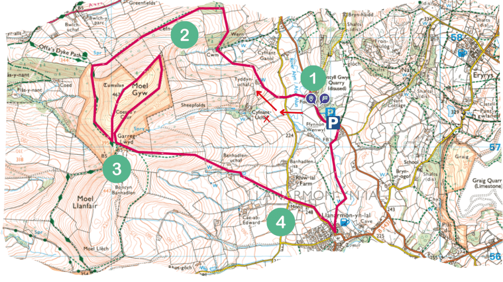
I’ve broken the route up into 4 sections. There’s no really tricky bits but hopefully the photo’s will help.
You can also use the route I have created in OS Maps – Moel Gyw OS Maps
Moel Gyw Circular Walk – Part 1
From Pistyll Gwyn Quarry, over the stream,across the farm fields and into to the woods

Turn right from the car park and walk along the road until you see a footpath sign that leads you down a narrow path with hedges both sides.

There’s a footbridge to cross over the Afon Alyn.
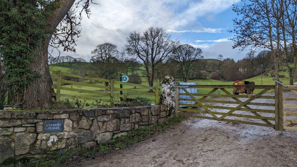
Continue along the path until you reach a tarmac lane where you want to take the road up to Cyfnant Uchaf Farm. It’s an attractive bit of parkland to your left but don’t get distracted and carry on the road up to the farm. Keep your eyes peeled for a stile on the right.
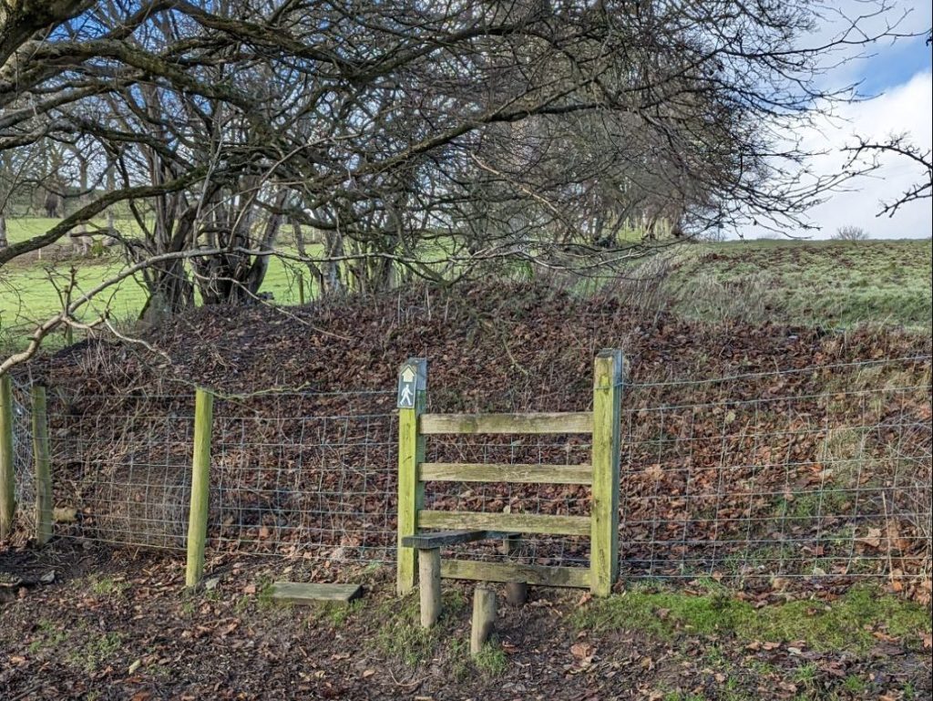

Head up towards a small house Tyddyn Uchaf and go around the right hand side of it, you’ll see what looks a bit like a sheep path heading towards a tree in the middle of the field. Head over the brow of the hill and down a sloping field until you reach a stile on the left at the bottom.
Cross this stile and head on to the next which is just a few minutes walk to the right through those trees in the above picture. You’ll come to another stile in a wire fence with a clear marker to head right.
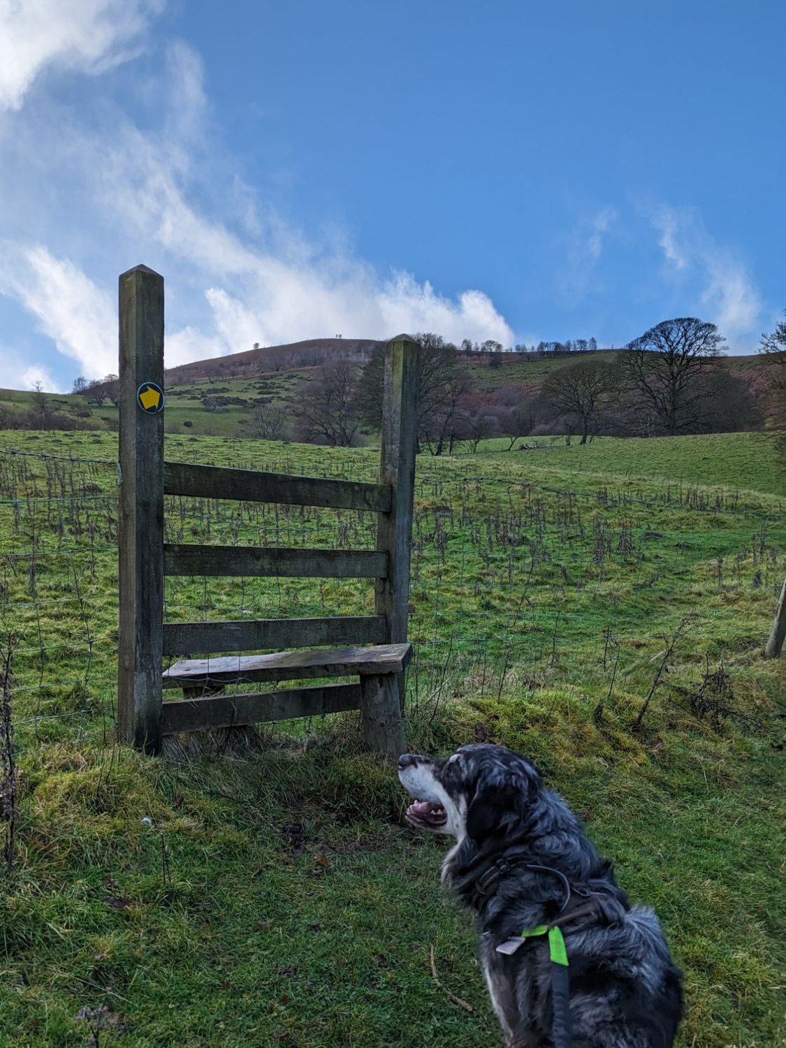
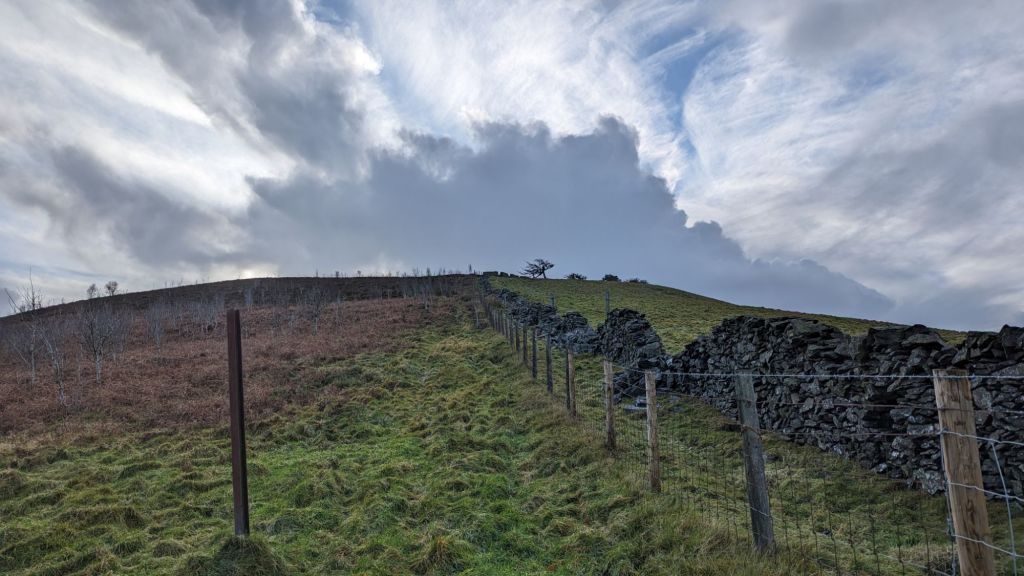
Now you want to walk up through the woods so turn up right once over the stile and keep on going up the forest track.
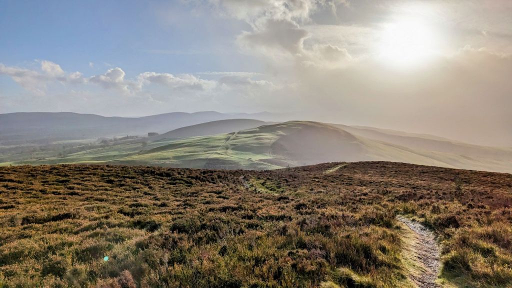
Moel Gyw Circular Walk – Part 2
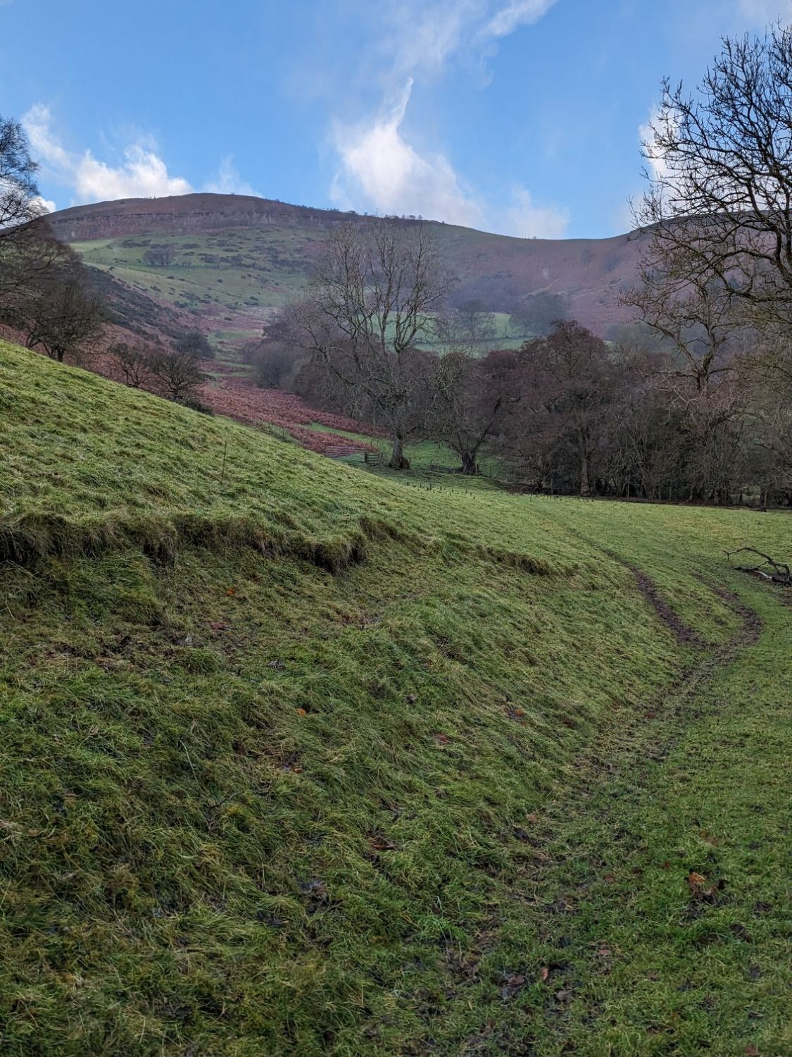
Epic views of Foel Fenlli, Gyrn and Moel Eithinen and onto the Offas Dyke Path

Keep walking along this path on the slopes of Moel Gyw until you reach a gate.
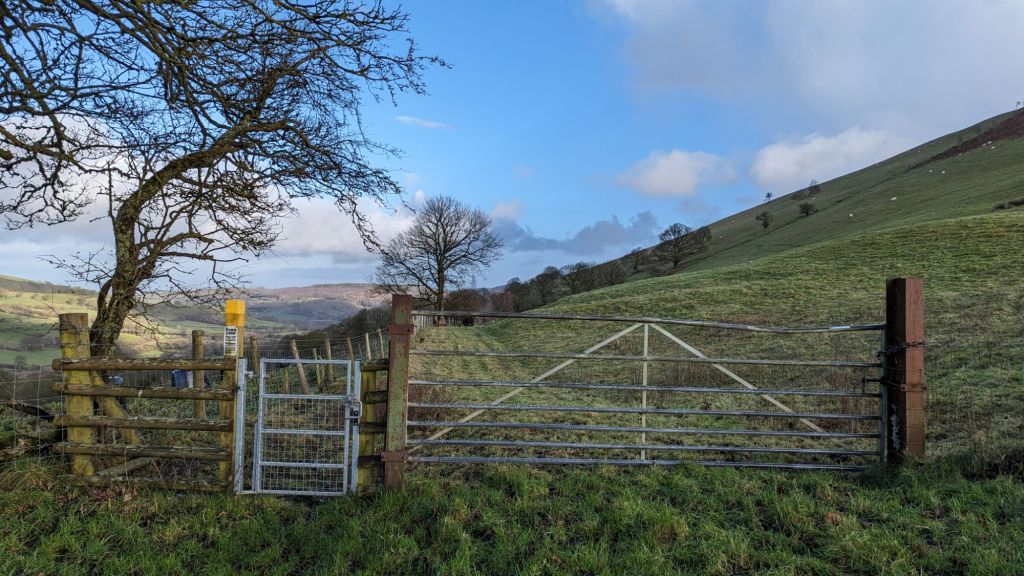


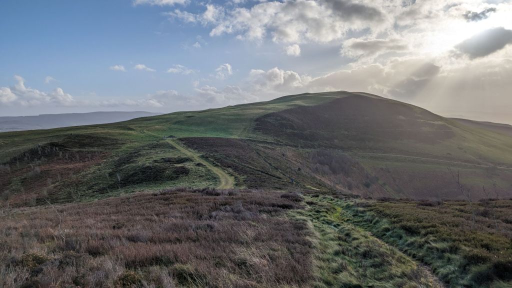
Moel Gyw Circular Walk – Part 3
Up to the summit of Moel Gyw and back down to llanarmon-yn-Ial Village

A stone sign as you start up the path to Moel Gyw, it says No Through route but you can actually drop down and rejoin the track that wraps around the right hand side.
Head up to the summit, enjoy the fabulous 360 degree views of North Wales and then you can either retrace your steps back down to the stone sign or carry on and drop down the other side of Moel Gyw, joining a farm track that will bring you back around to the same starting point.


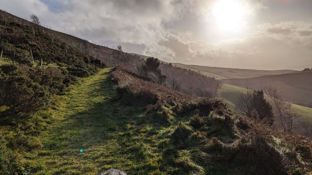
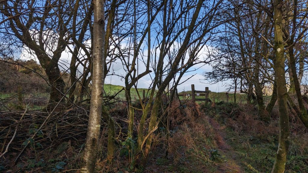
Climb over this rickety concealed stile on your right and then carefully go down a small slippy slope to a stream (it may be dry in summer). The arrow on this stile is a little misleading but look out for the next post for confirmation you’re on the path (see pic below)
There’s a small yellow arrow on a post. Jump over the little stream and start heading left. It took me a little while to spot the sign as it felt like the path had turned into a stream, but other than being a little squelchy underfoot you are definitely on the right track. Keep walking, go past a rather swampy pond on the left until you reach a farm track.

Moel Gyw Circular Walk – Part 4
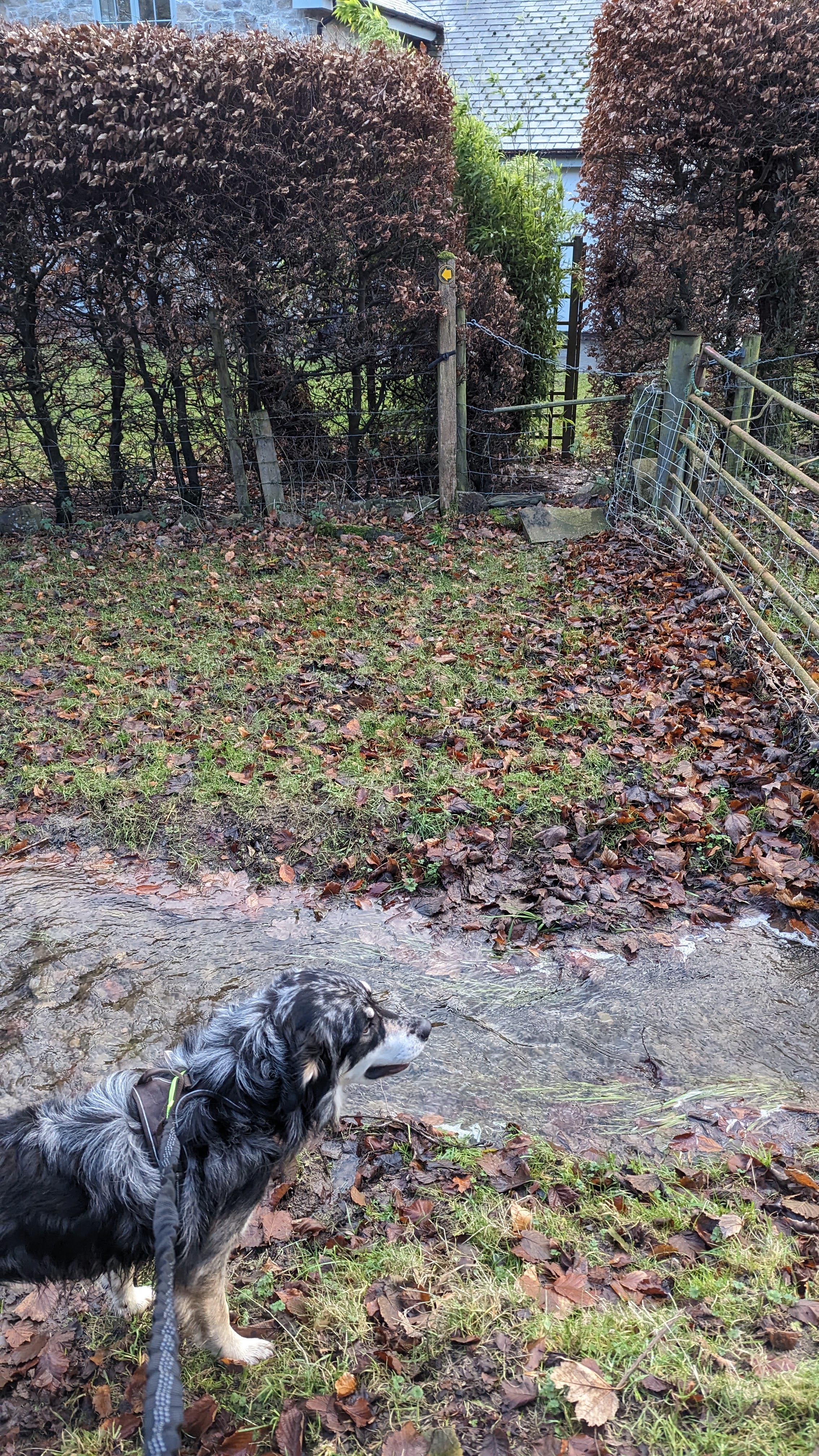
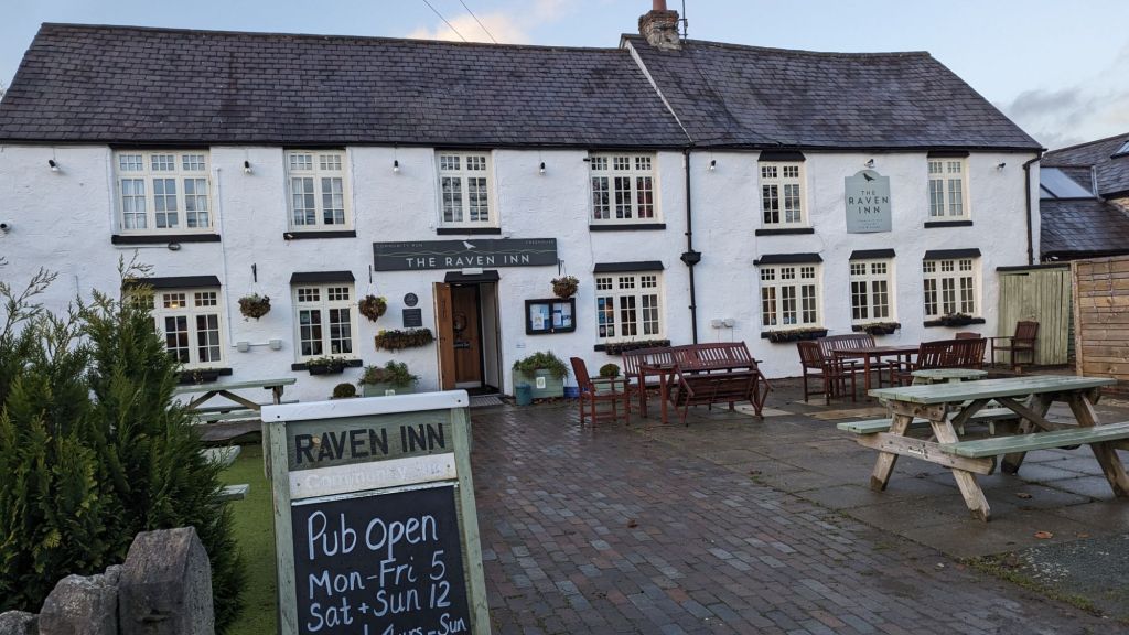
Through the village of Llanarmon-yn-Ial (maybe a quick stop at The Raven Pub) and then along the babbling stream, over the little bridge and back to your car.
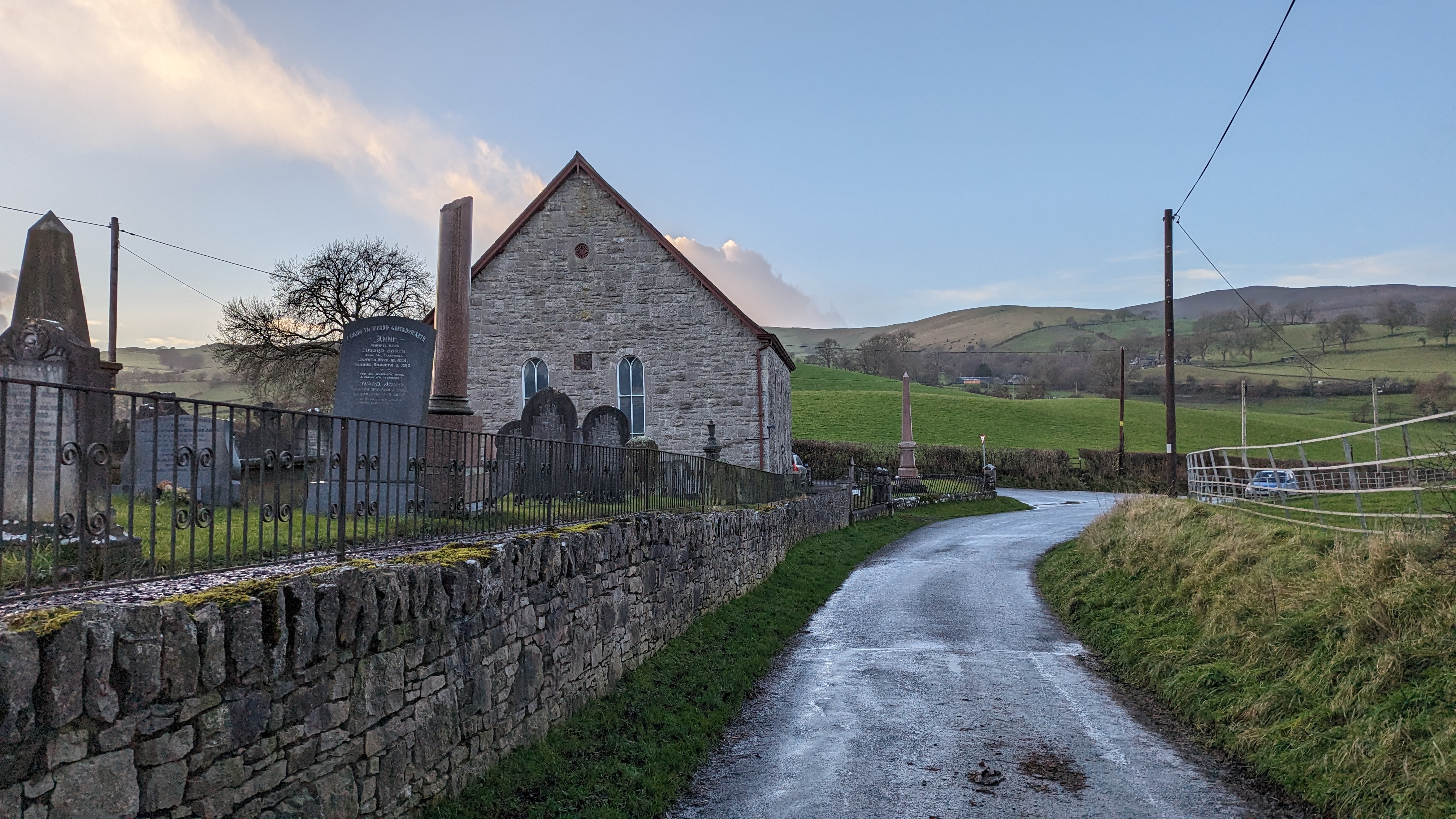
Walk along the road and into the village of Llanarmon-yn-Ial. You’ll reach a lovely pub called The Raven Inn. It looks very welcoming, worth adding an extra hour on for a pint or a coffee!
To the left of the pub you will find a footpath sign, then head onwards to a very small path enclosed by hedges.

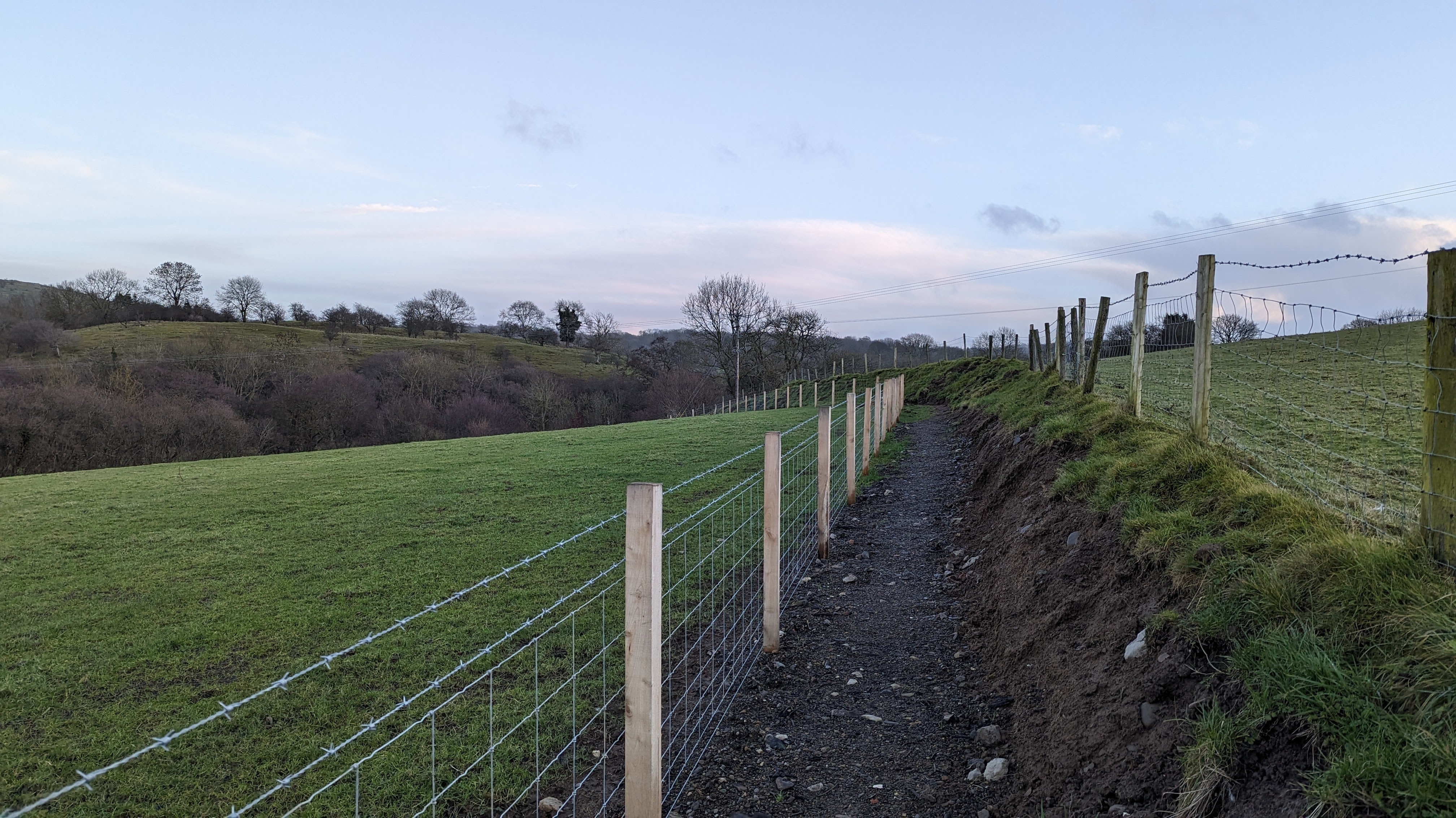
The footpath in the field has been rerouted so that it now follows the edge of the field and tracks along the stream Afon Alyn which is more pleasant than cutting across the fields on the official path. I was rather impressed with it as far as footpath reroutes go, they must have invested a lot of money on fencing and you now get to enjoy the stream too.
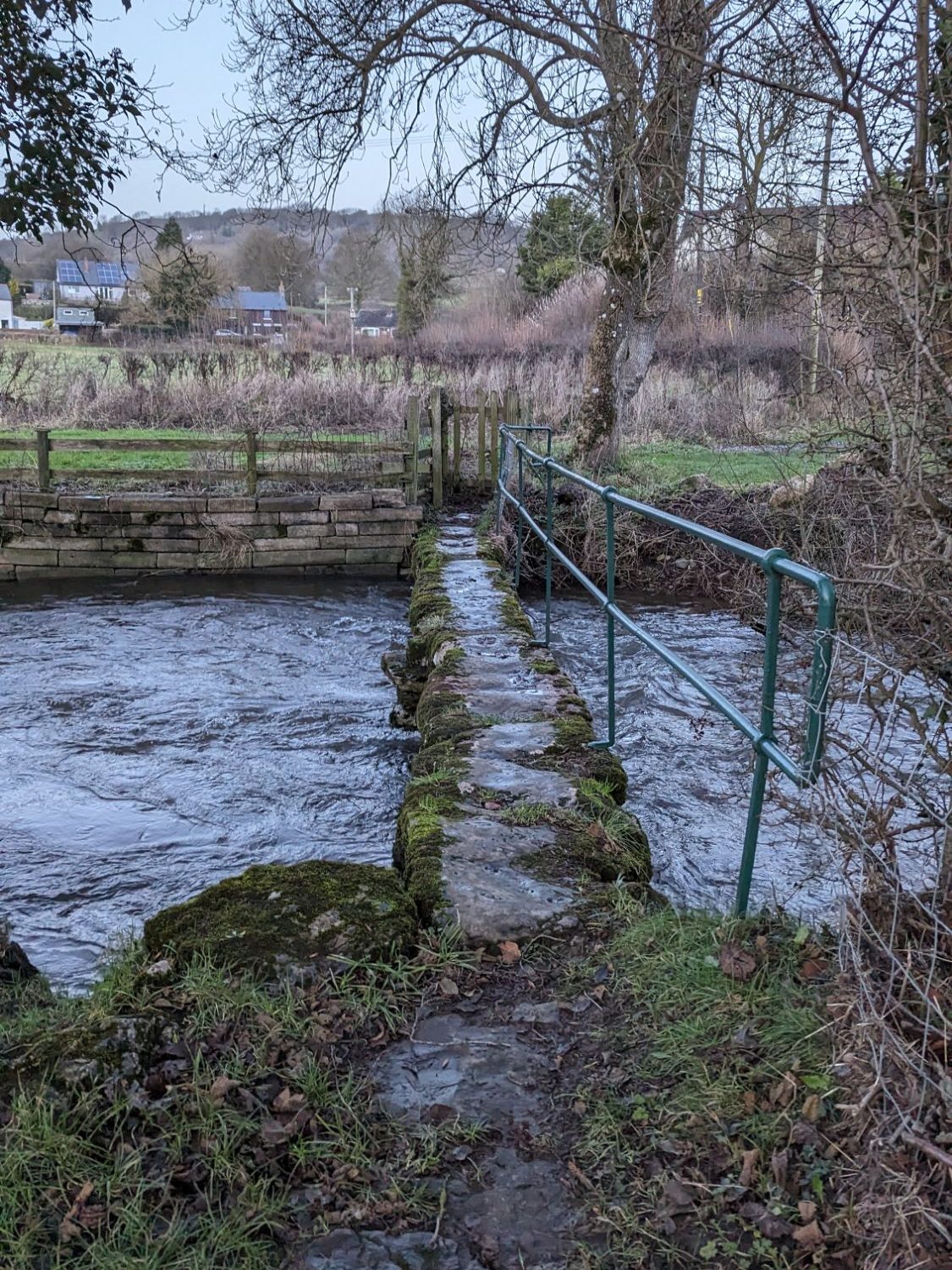
Following the fenced path by the stream you will eventually join back up with the official footpath and make your way over a little stone footbridge.
Head onto a track for a short while until you see a narrow footpath which takes you up onto the road (B5430). Turn left and walk along the road back to the car park at Pistyll Gwyn Quarry.
Find more great Clwydian Range walks here in my complete list of Clwydian Range Walks
Leave a Reply to Clwydian Range Walks and Hill Forts – NEARLY UPHILL – GREAT WALKS IN NORTH WALES & MORE!Cancel reply