
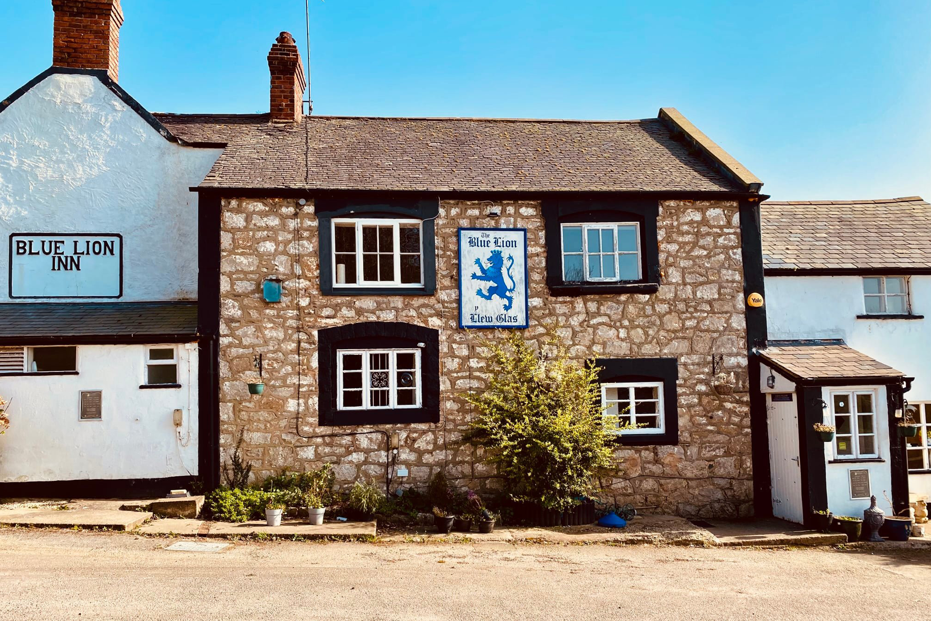
Moel Hiraddug Circular Walk from the Blue Lion Cwm via Marion Ffrith
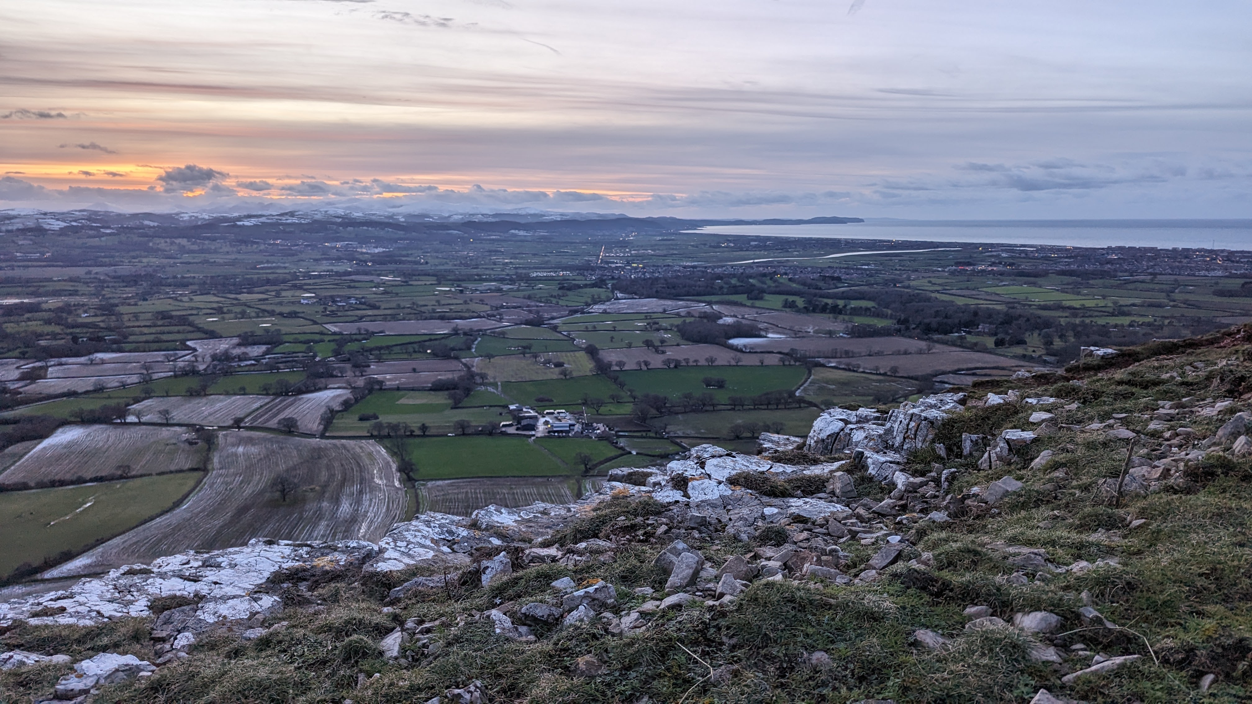
Moel Hiraddug is one of the smaller most northerly of the Clwydian Range Hills. It offers absolutely stunning views from the top. This walk is a circular route that starts and finishes at The Blue Lion Pub in Cwm, it’s ideal for family walks followed by a drink or a nice pub lunch.
How long is the walk and how long does it take?
OS Maps Route – Walk / Hike: Moel Hiraddug Circular Walk from the Blue Lion Cwm via Marion Ffrith
On OS Maps this route is 2hrs and 9 minutes at average pace, it would be wise to leave 2-3hrs giving time for stopping to enjoy the views. If you are interested in a quick route up Moel Hiraddug head to this post – Moel Hiraddug Quick Route

Where to park
You can park in the Blue Lion (as long as you make sure you pop in for a drink or meal – good idea to book as it’s a busy pub and great food) or you could find somewhere nearby on the road.

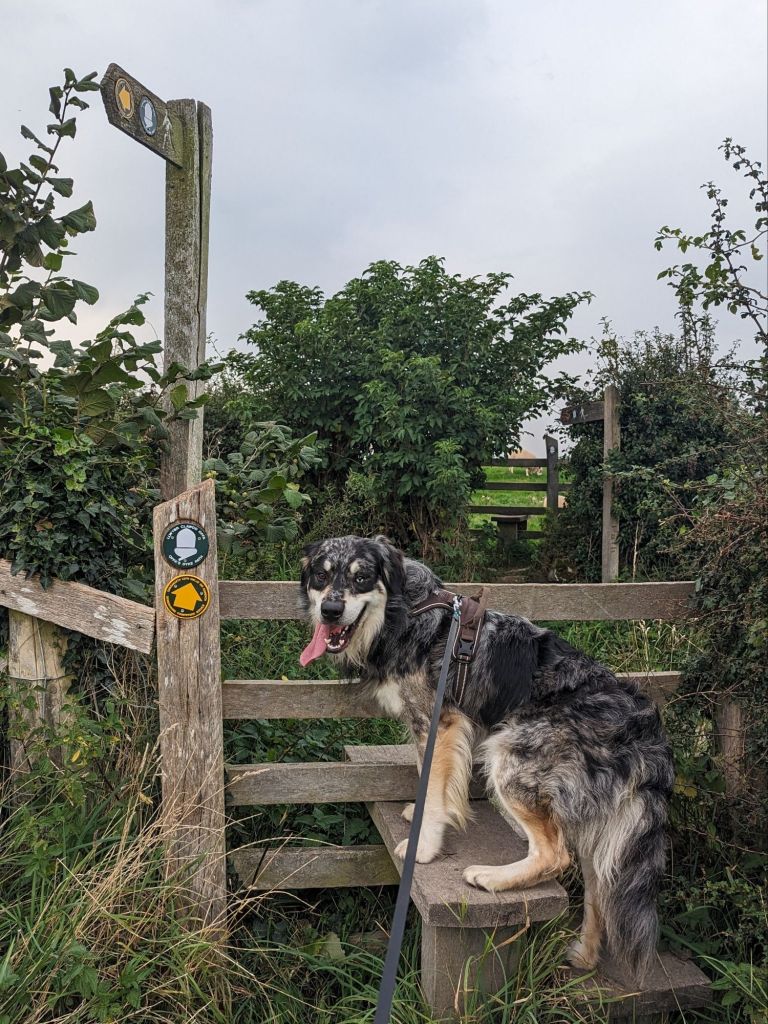
Start the Walk up Moel Hiraddug at the Blue Lion Cwm
From the Blue Lion Car Park turn right and carry on up past the church. Walk all the way along the road until you meet a junction, turn right and head down until you see a path heading up into the woods on the right.

The path goes up through the woods, keep walking and bear left when you see a path on the left heading uphill.

Keep walking through the woods on this path until you reach a stile that goes into a field. There will be woods on your right.

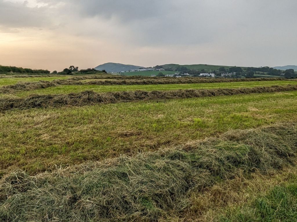
Walk all the way across this field until you reach another stile and a small building, dross this and continue along an access track down a hill until you reach a junction.
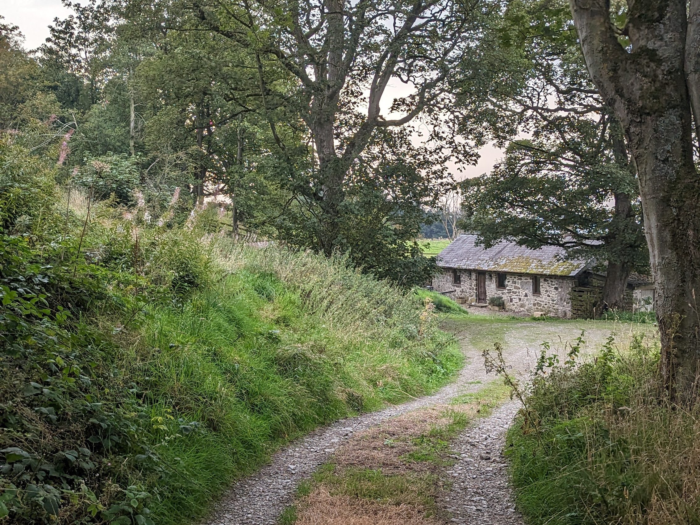

In the next field bear slightly to the left aiming at the left hand corner of the field where you will walk up past a cottage and gardens and then into the hamlet of Marian Cwm.

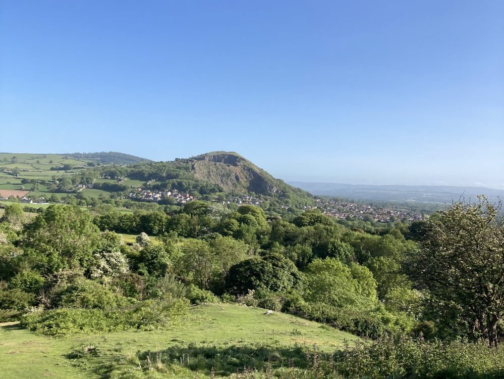
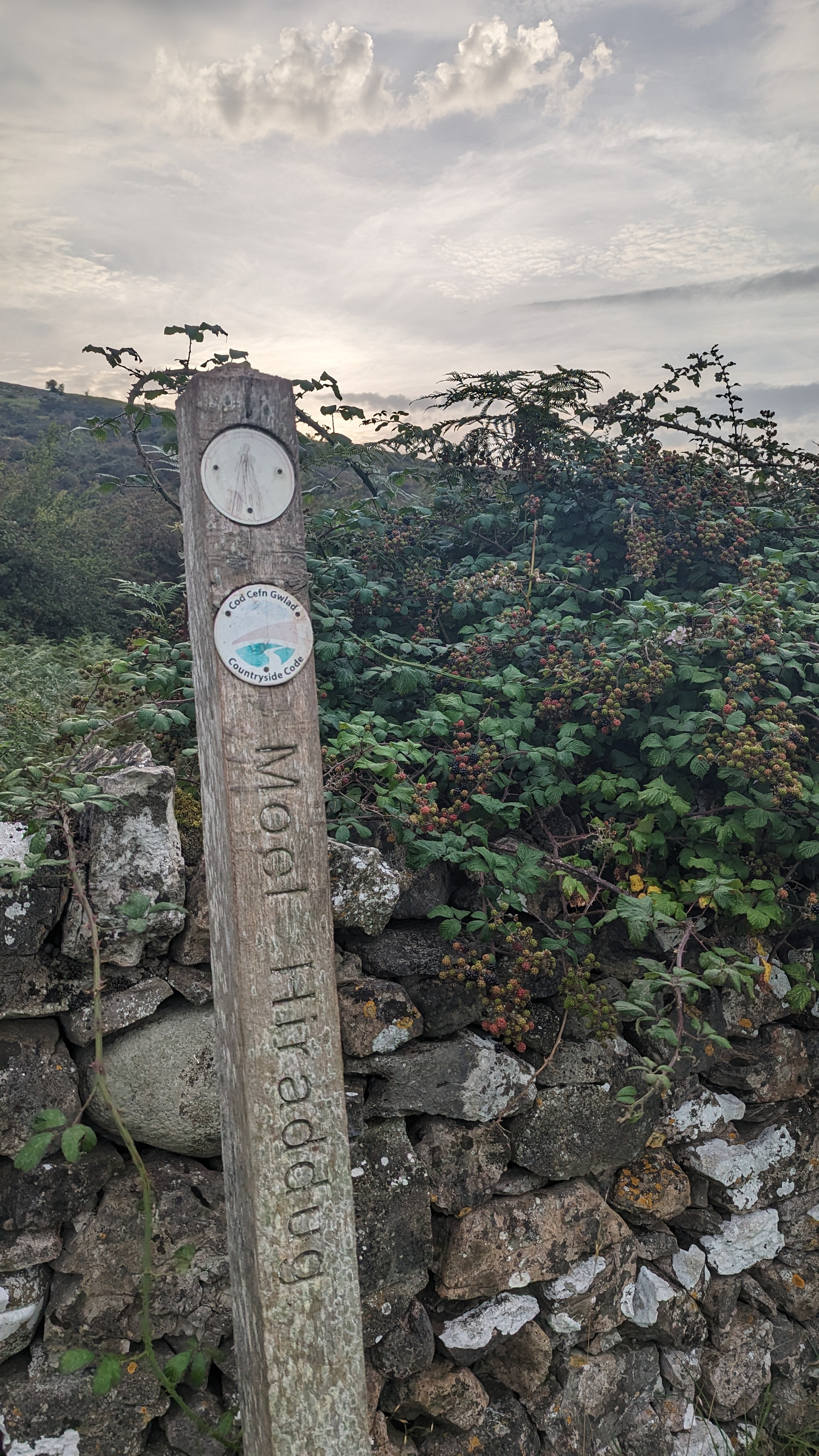
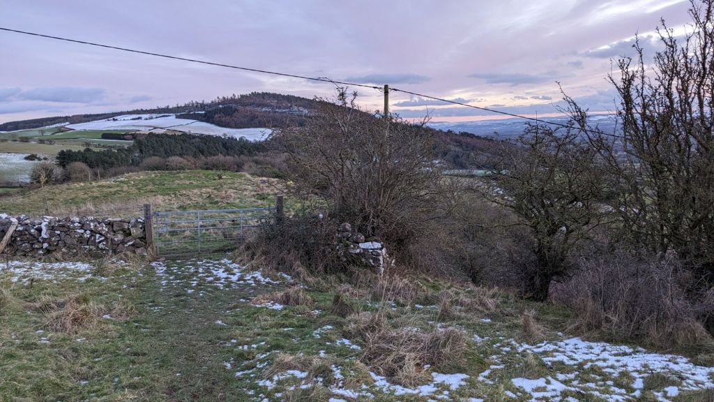
Marian Frith is a small hill, 240m high, the footpath can be lost to sheep tracks in sections but if you head to the natural top you be met with a lovely panoramic view.
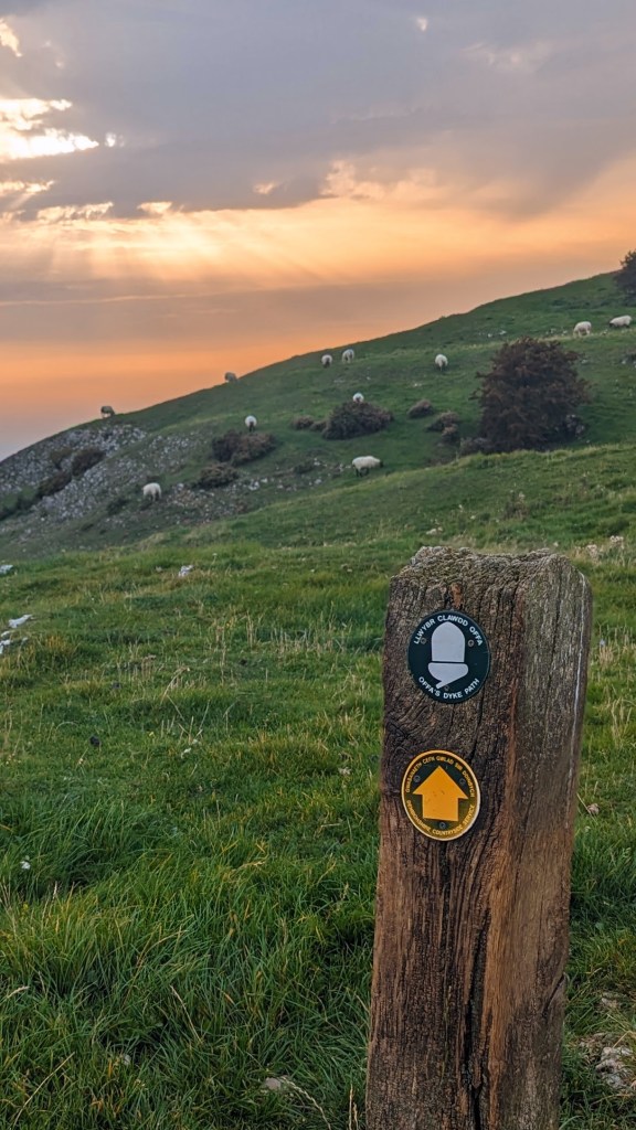
Head down from the summit of Marian Ffrith following the Offa’s Dyke waymarks which will lead you to a stone stile in the left hand corner of the field. Walk across a small field heading towards the corner with another stile that takes you onto a farm track
Walk along the track right through the farm, with the farm buildings to your left. Keep heading along the track, there are signposts on either side of the road but ignore these. As the track bends around to the right you want to head through a gate and up a field until you see a gap in a wall. Go through this and continue until you get to a stone stile in the wall at the end of the field.
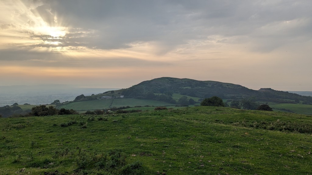
You’re now on open access land and can wonder where you like up towards the summit, however there are paths. If you head up you’ll soon find a path crossing which will curve around and up through gorse until it meets another path heading diagonally right until you find the fence stopping you wondering off the quarry edge.
Enjoy the spectacular views at the top of the Hill Fort as you make your way along the top of the ridge away from the quarry.
You’ll reach a path on the very right hand side, right of the small hut and mast, head down this path until you reach a gate. Take the path to the right into a thicket of trees and bushes.
After about 5 minutes heading down this path you will reach a swing gate on your left. The path to the right takes you to the centre of Dyserth. You want to take the swing gate and cross the road over the opposite stile and into a field.

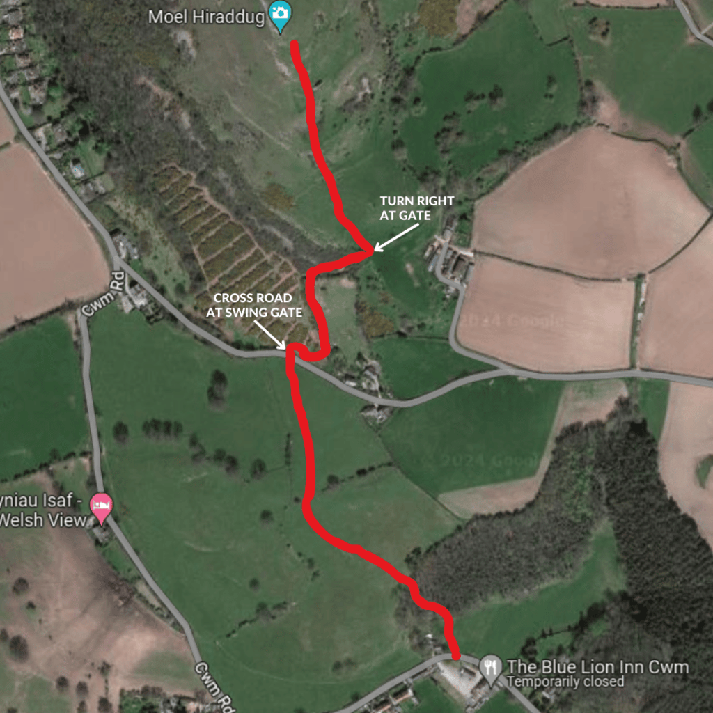
Cross a stile at the top of the field and then descend down to woods on the left. There is a stile on the right hand corner of the woods.

Walk down diagonally to your left through the woods until you reach a small field and can see the church ahead to the left. There is a choice of two stiles (one by the church or one straight ahead) both taking you back onto the road where you’ll be back at the Blue Lion Pub.
Let me know in the comments if you have enjoyed this route!
Leave a Reply