
Interactive Map of the Clwydian Range Hills
Below you can find a map of all of the peaks in the Clwydian Range over 200m high. If you click on the pins there are links to the route guides available on this website. Or click here if you are looking for all of the Clwydian Range Route and Parking Guides
22 Clwydian Hills Map
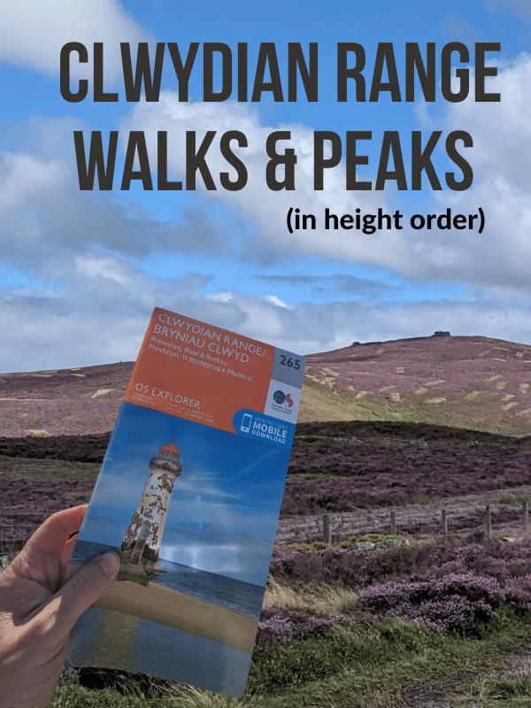
Ordinance Survey Explorer Map 265 for The Clwydian Range and Dee Valley
You will need the OS Explore Map of Clwydian Range – OS Explorer Map 265 (Prestatyn, Mold & Ruthin)

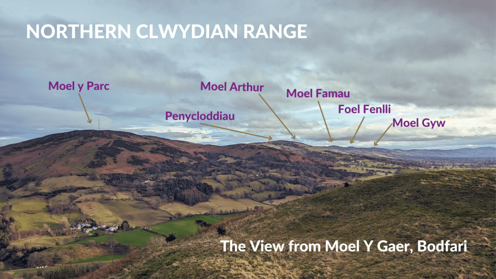
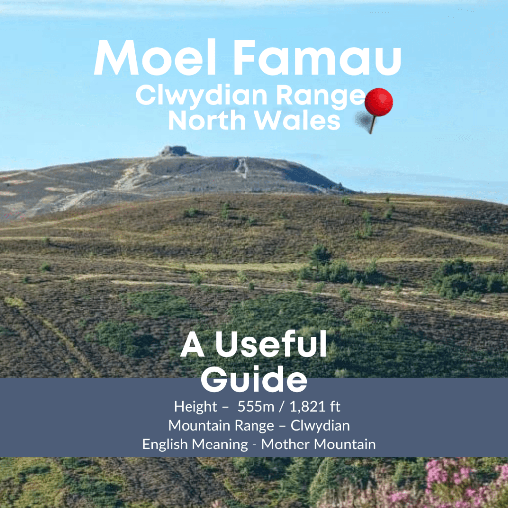
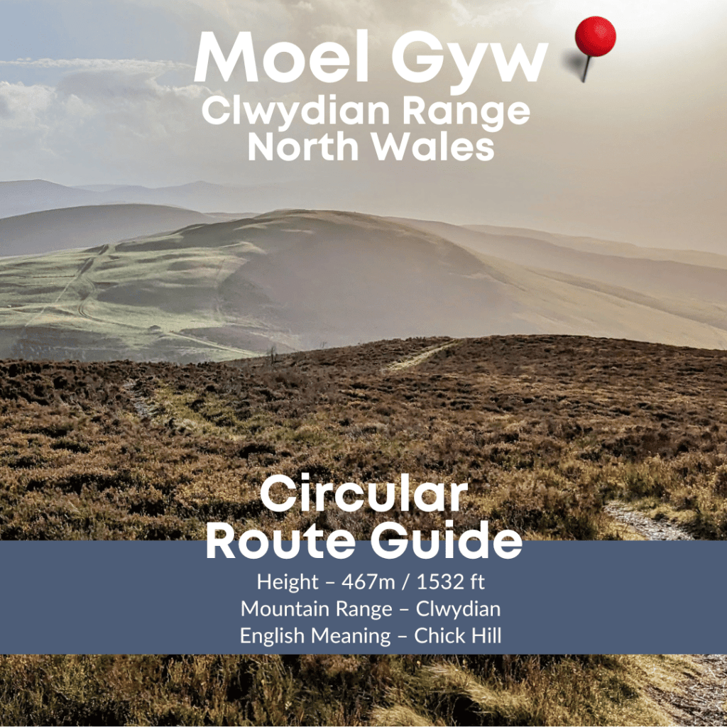
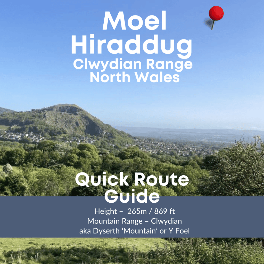
You can find route and parking guides for all of the walks labelled and more – Clwydian Range Walks


Leave a Reply