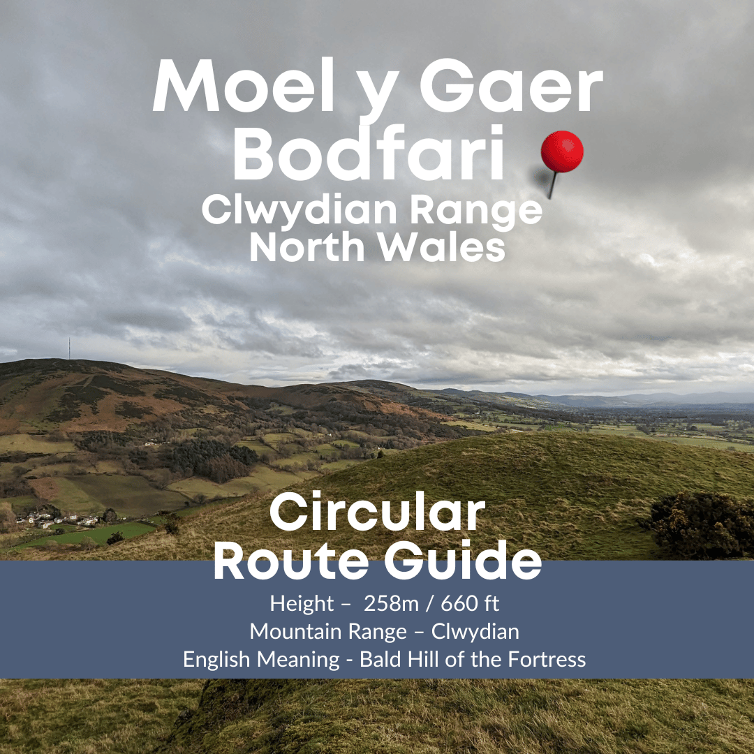
Enjoy a walk around Moel Y Gaer, one of the more northerly of the Clwydian Hills situated in the pretty village of Bodfari. On this walk you get an excellent view of the bigger Clwydian peaks. Sadly the summit of this peak is on private property.
NB. I was contacted recently and asked to update the post to ensure it is clear that the summit is private property. I didn’t realise the summit was private as there are paths on the ground and there is an official path that runs along the bottom of it with stiles in and out of the woodland that it sits in.
Like many of the hills in the Clwydian Range it is an ancient hill fort. The walk starts and ends at a fabulous foody pub which makes this walk even more appealing.

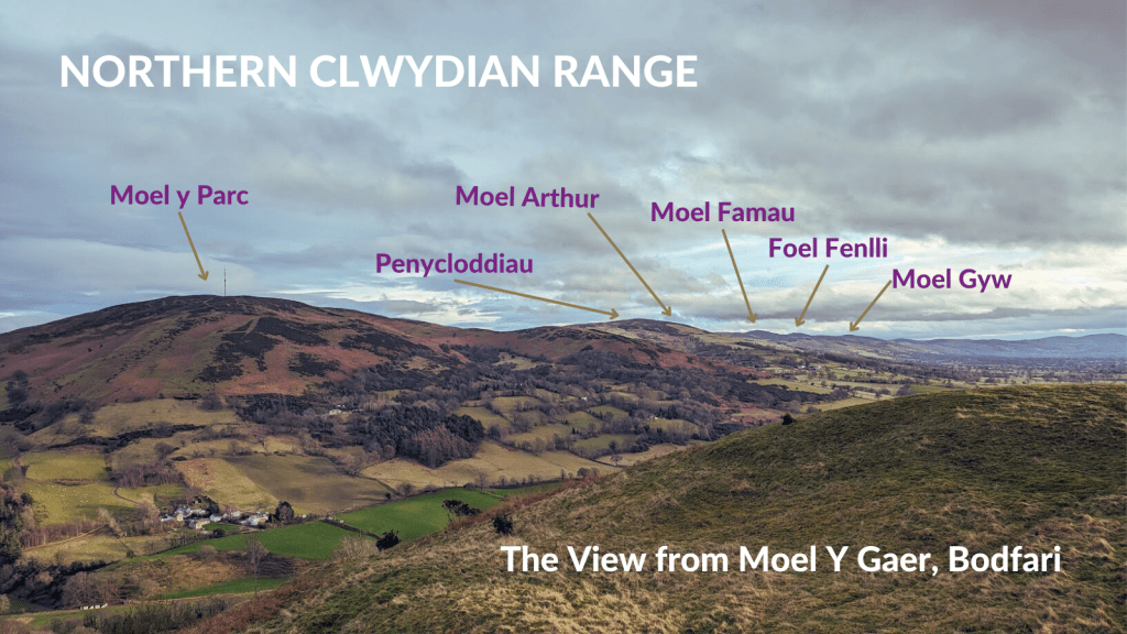
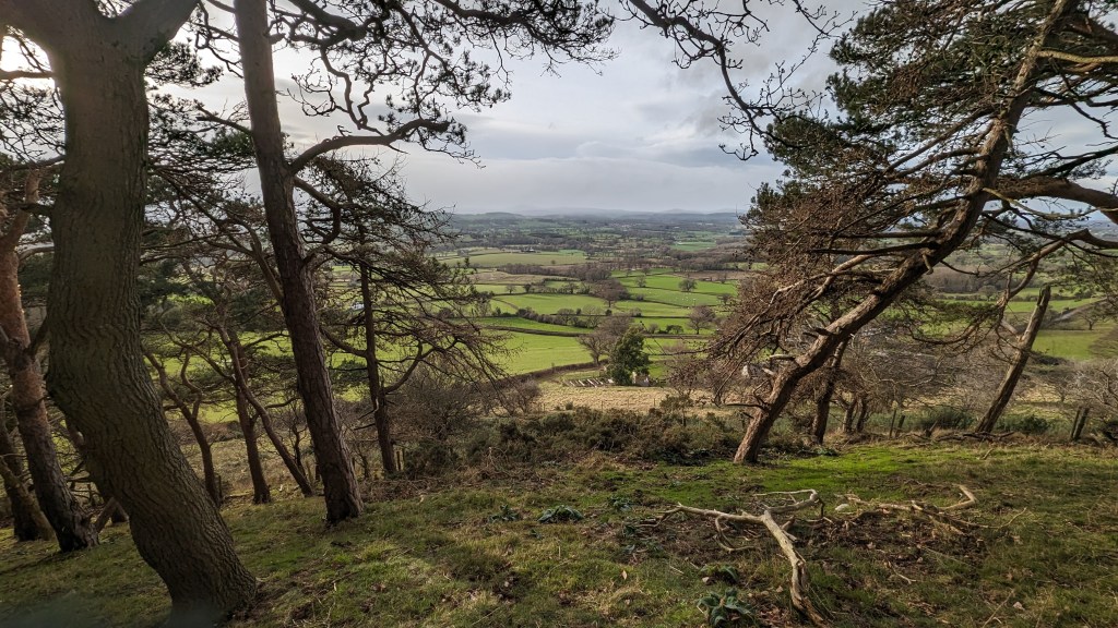
The walk up close to the summit of Moel y Gaer is not too long, it will take you just an hour but hopefully you’ll be able to find a little protection from the wind and stop for a while at the top to enjoy the stunning views of more Clwydian hills stretching away into the distance, the North Wales Coast and the mountains of Snowdonia on a clear day.
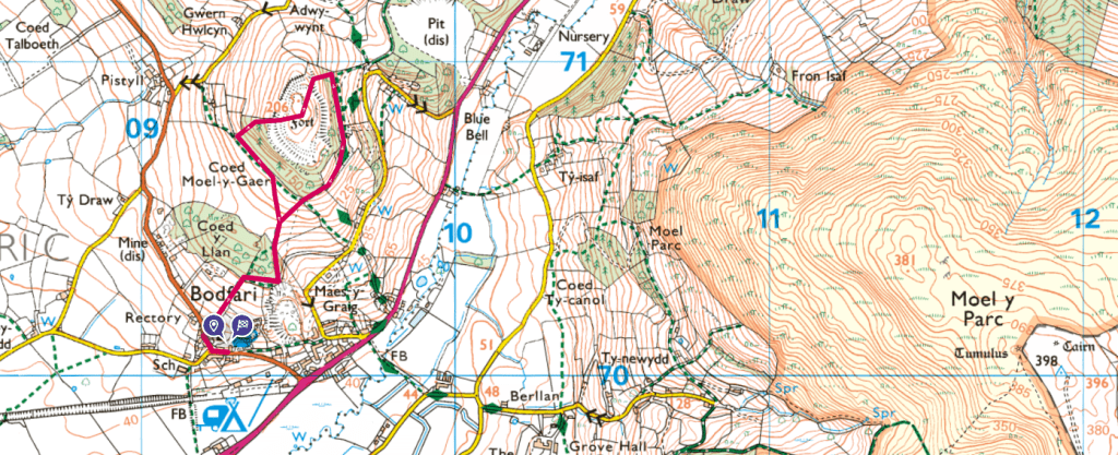
OS Route Map – Moel y Gaer Hill Fort, Bodfari
How long is the walk up Moel y Gaer, Bodfari?
This short circular walk around Moel y Gaer will take you just over an hour to complete.
How high is Moel y Gaer?
Moel y Gaer, Bodfari is 258m high / 660ft . It’s not to be mistaken with Moel y Gaer Hillfort in Llanbedr.
Where to park to go up Moel y Gaer?
The walk around Moel y Gaer starts from the Dinorben Pub in Bodfari, there is a car park at the pub with plenty of spaces. The owners will be happy for you to park there if you pop in for something to eat or a drink. (If you are not planning a drink there, best to park elsewhere in the village)
There is a great panoramic view as you walk up towards the summit, sadly the summit is on private land. You’re looking up at Moel y Parc most of the route, the start of the bigger Clwydian Hills.

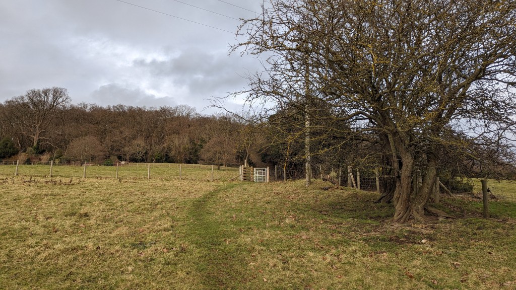
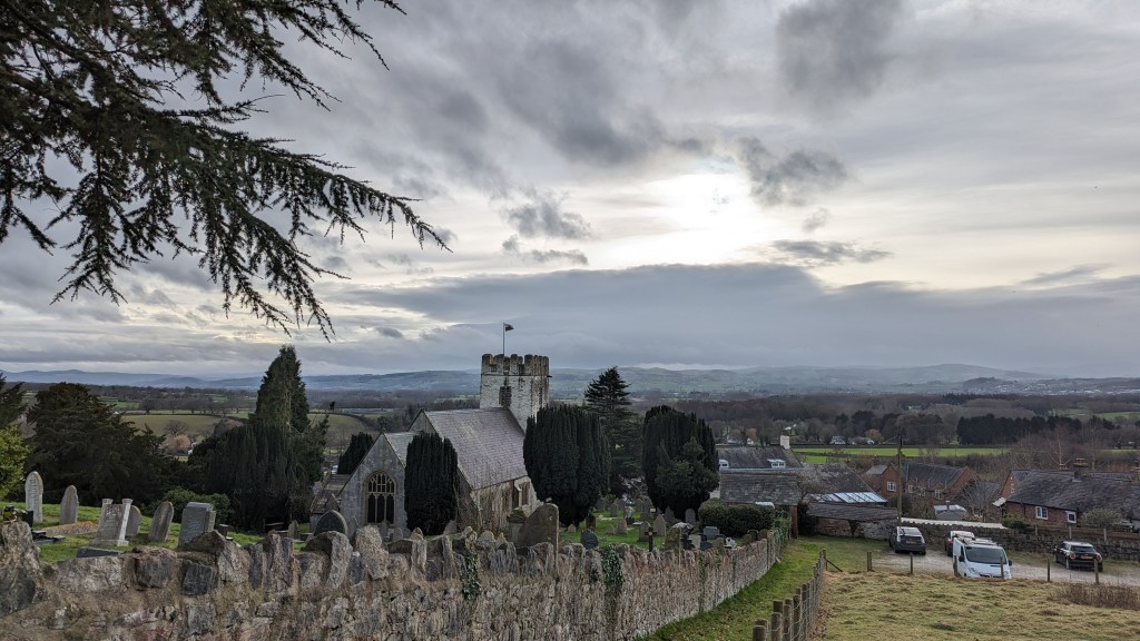
The Dinorben arms and the start of the walk up Moel Y Gaer. Start by walking through the beautiful lich gate of St Stephen’s, Bodfari. Continue up the tarmac path until you see a brick building with a metal gate to the left. Turn immediately right and head up through a sheep field to a swing gate.

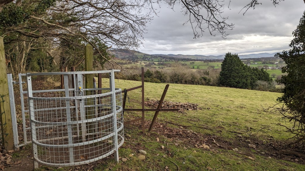


There’s no official path up to the summit on the map as it is on private land.
I didn’t have to climb any fences as there are stiles and there were paths on the ground when I walked this route but I have since been contacted and made aware that the summit and hillfort is on private land (there is a footpath at the foot of the hill fort with stiles in and out)
Perhaps one of the ancestors of the ancient celts that lived there 1000’s of years ago owns it now. It is a shame that historical sites like this are not open access.

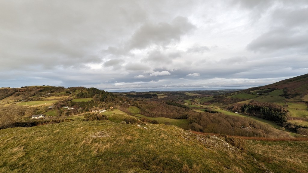
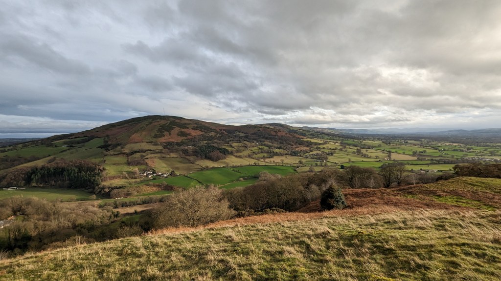
I really enjoyed trying to name all of the peaks of the Clwydian Hills – this vantage point gives a really clear view of the famous rift valley of the Vale of Clwyd and shows how useful these hills were in defending the welsh against invaders from the east – you’d see them coming miles off!
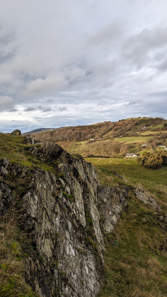

I sat behind some exposed rock, sheltering from the wind for a little while and enjoyed a coffee and some chocolate with Ziggy before finding my way down over the other side of the hill fort.


Take a look at more Clwydian Range Walks on my blog. You can also click on the map below to see the 22 highest peaks in the Clwydian Range.
Moel y Gaer means bald hill of the fortress in English. It is one of six hillforts in a chain, from north to south, Moel Hiraddug, Moel y Gaer Bodfari, Penycloddiau, Moel Arthur, Moel y Gaer Llanbedr, and Moel Fenlli.
Leave a Reply