
North Wales is home to more than just Yr Wyddfa (Snowdon)…
There are 8 distinct mountain ranges in North Wales, all of which are well worth your time and energy exploring. This website is dedicated to recording the routes I walk in the mountain ranges of North Wales. Here’s an overview of the mountain ranges in North Wales. It includes some of the most popular mountains in each range. If you want a complete list of the mountains in Eryri over 2000ft take a look at my post – List of Highest Mountains in Snowdonia
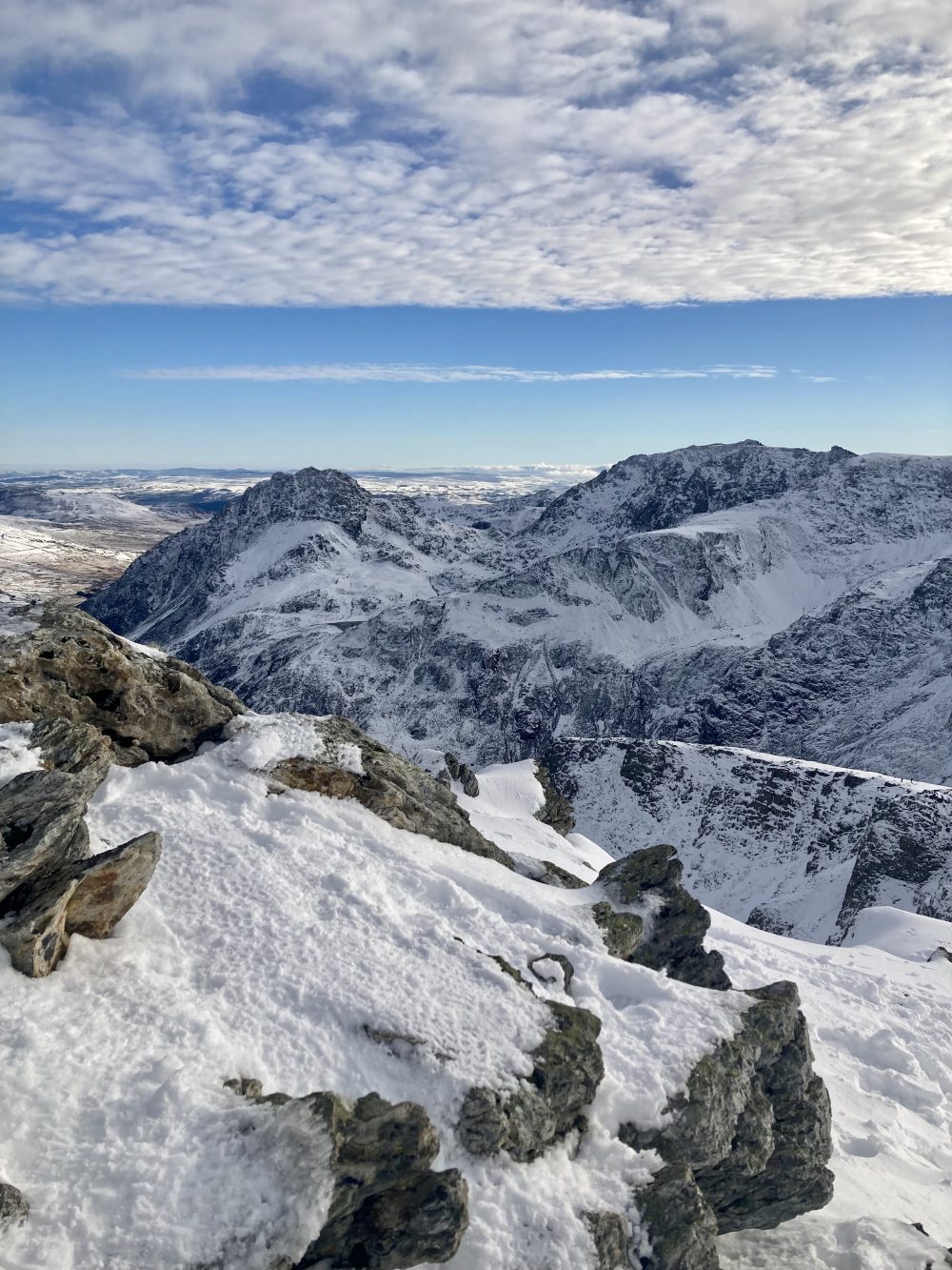
The Snowdon Massif

The Snowdon Massif lies at the very heart of Eryri (Snowdonia). Many visitors are drawn to it, as it is dominated by Yr Wyddfa (Snowdon) itself. Its rugged peaks are carved by ancient glaciers, offering some challenging climbs, beautiful walks and breathtaking panoramic views.
- Yr Wyddfa (Snowdon) – 1,085 m
- Garnedd Ugain – 1,065 m
- Crib Goch – 923 m
- Lliwedd – 898 m
- Moel Eilio – 726m
The Carneddau Range
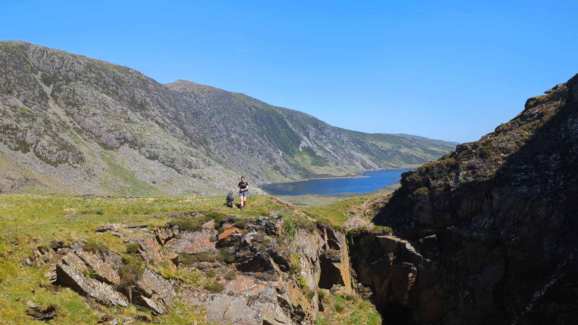
The Carneddau Range is large and spans from Ogwen Valley to Conwy. It is characterised by its broad, grassy plateaus. There’s still plenty of interesting cwms and rocky areas. This range is home to the famous feral Carneddau ponies that roam freely.
- Carnedd Llewelyn – 1,064 m
- Carnedd Dafydd – 1,044 m
- Yr Elen – 962 m
- Foel Grach – 976 m
- Foel-fras – 942 m
The Glyderau Range
The Glyderau Range is arguably the most dramatic of the Welsh ranges. Rocky summits, spiky ridges, and dramatic cwms. Formed by volcanic activity and glaciation, this range is a haven for scramblers. The Glyderau has some of the most iconic routes in Wales. Bristly Ridge and Tryfan north ridge are among many exciting walks and scrambles in the Glyderau.
- Glyder Fawr – 1,001 m
- Glyder Fach – 994 m
- Tryfan – 917 m
- Y Garn – 947 m
The Moelwynion Range
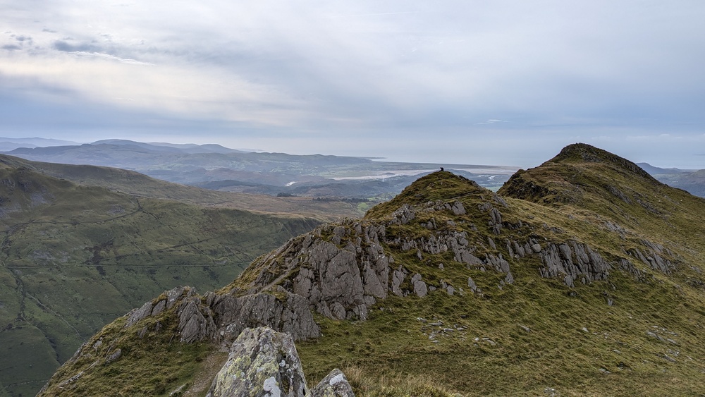
The Moelwynion Range, lying to the south of the main Eryri (Snowdonia) peaks, offers a mix of rugged, rocky summits. It also features gentler, grassy slopes. These mountains offer excellent walking and scrambling opportunities. There are stunning views towards the coast and the higher ranges to the north. The area is also rich in industrial heritage, with remnants of slate quarries dotting the landscape.
- Moelwyn Mawr – 770 m
- Moelwyn Bach – 710 m
- Cnicht – 689 m
- Y Cribin – 656 m
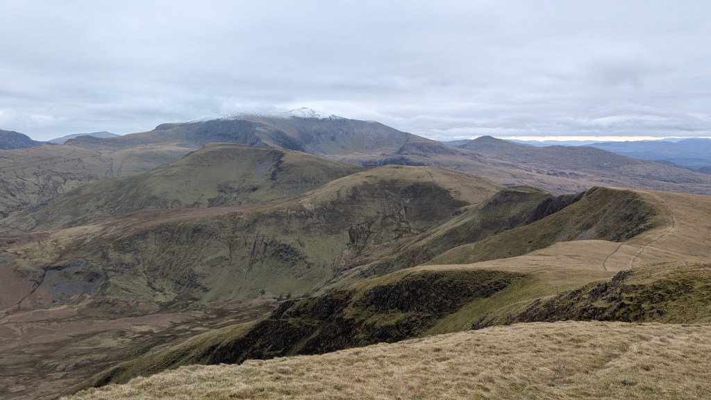
The Rhinogydd Range

The Rhinogydd Range, often referred to as the “Welsh Alps,” is a wild and relatively less-visited area. It is known for its rugged terrain. These mountains boast a unique character with heather-clad slopes, rocky outcrops, and many small lakes.
- Rhinog Fawr – 760 m
- Rhinog Fach – 712 m
- Moel Ysgyfarnogod – 623 m
- Y Llethr – 756 m
The Arenig Range
The Arenig Range, situated to the east of the main Eryri (Snowdonia) block, consists of two main peaks. These peaks are fairly isolated with views across the surrounding moorland and towards the higher mountains in Eryri.
- Arenig Fawr – 854 m
- Arenig Fach – 635 m
The Berwyn Range
The Berwyn Range is a more extensive and sprawling upland area further to the east of North Wales. It presents a mix of rounded hills, heather moorland, and dramatic escarpments.
- Cadair Berwyn – 830 m
- Moel Sych – 827 m
- Craig Rhiwarth – 677 m
The Clwydian Range

The Clwydian Range, a chain of undulating hills in northeast Wales, it features distinctive heatherclad and grassy summits. It is known for Iron Age hillforts and panoramic views over the Vale of Clwyd and towards the coast. The Clwydian Range is soon to become a National Park.
- Moel Famau – 554 m
- Moel Arthur – 456 m
- Foel Fenlli – 511 m
You can find detailed walks covering many of these lovely mountains by exploring my blog more.
What is a mountain range and how are they formed?
A mountain range, at its core, consists of a series of mountains or hills. These are closely grouped and connected by high ground.
Geologically, a mountain range is typically formed by significant tectonic activity. This can occur in several ways:
- Folding: When two of the Earth’s tectonic plates collide, the immense pressure can cause the crust to buckle and fold upwards, creating a series of parallel ridges and valleys. The Glyderau Range in North Wales, with its sharp, jagged peaks, is a prime example of a mountain range significantly shaped by folding and subsequent erosion of ancient volcanic and sedimentary rocks. The dramatic shapes of Tryfan and the Glyder Fach are testament to these powerful forces.
- Faulting: Movement along major fault lines can cause large blocks of the Earth’s crust to be uplifted relative to others, forming steep-sided mountain ranges. While less dominant in North Wales compared to folding, faulting has played a role in shaping some of the edges of the ranges.
- Volcanic Activity: While not the primary force behind the major ranges of North Wales, volcanic eruptions can create chains of volcanic mountains. The ancient volcanic rocks that form much of Eryri (Snowdonia) remind us of past volcanic activity. This activity contributed to the initial uplift of the region.
- Erosion: Once uplifted, these landforms are continuously sculpted by erosion from water, ice, and wind. Glaciers in the past significantly shaped North Wales. This process carves out the individual peaks, valleys, and ridges we see today within a mountain range. The distinct U-shaped valleys and sharp arêtes such as Crib Goch in the Snowdon Massif are shaped by glacial erosion.

Geographically, a mountain range is viewed as a linear or connected series of mountains. They share a general alignment and often similar characteristics. Key aspects of the geographical definition include:
- Linear Arrangement: Mountains within a range are usually oriented along a particular axis, forming a discernible line across the landscape. You can clearly see this linear trend when looking at the Carneddau Range, stretching northeast to southwest.
- Connectivity: The individual mountains are usually linked by high ridges or saddles, forming a continuous or semi-continuous elevated landform. The traverse along the main ridge of the Carneddau exemplifies this connectivity.
- Shared Characteristics: Mountains within a range often have similarities in rock type. Their geological structure also shows similarities due to a common origin. They may have an overall form that is similar, although erosion can create significant variations. The generally rugged and rocky nature of the Rhinogydd Range, formed from hard Cambrian gritstones, illustrates this.
- Scale: A mountain range can vary significantly in length and width, containing numerous individual peaks and extending over considerable distances. Eryri National Park has several distinct mountain ranges, highlighting the regional scale of these features.

If you’re interested in the geology of Eryri read my post about How Snowdonia was formed and why it’s so rocky and jagged.
Leave a Reply