Crimpiau Walk – a great short hill walk in North Wales
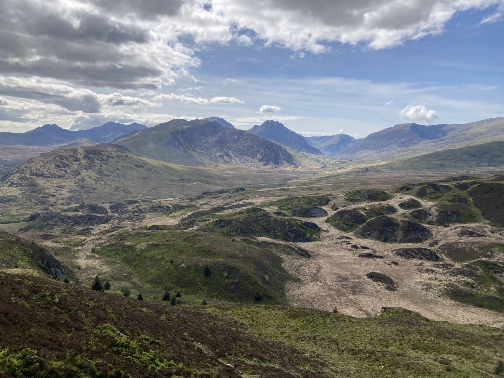
Crimpiau is a small mountain in Snowdonia, close to Capel Curig, North Wales. It’s a great short walk that has some spectacular views of the Ogwen Valley from the top but without the crowds.

One of my favourite kind of walks are ‘big reveal’ walks and this short walk in Eryri up to the summit of Crimpiau most definitely has a big reveal moment. Suddenly you’re looking straight down the Ogwen Valley at the glorious bigger mountains of the Carneddau and Glyderau and simultaneously at Yr Wyddfa (on the left of the picture above behind Llynau Mymbr)
How long does it take to walk up Crimpiau?
Give yourself 3 hrs for a leisurley circuit of Crimpiau. OS Maps says it will take 2hrs 16 minutes but that’s with no time for enjoying the views and stopping for pictures and snacks.
I’ve done this walk many times in winter and summer. It’s ideal for a half day adventure in Eryri as it only takes a few hours to do the Crimpiau Circular from either side. If you’re looking for a longer walk try my Crafnant Circular walk that takes in all of the big summits behind Llyn Crafnant too.


Where to park to walk up Crimpiau
Parking for Crimpiau is either at Llyn Crafnant car park or the National Trust car park behind Joe Browns in Capel Curig. Both car parks have toilets.
Crimpiau from Capel Curig Route

Where to park in Capel Curig to walk up Crimpaiu
The only downside to this walk is the possible parking issues. The actual summit isn’t usually very busy. Even on a sunny day in March just recently I struggled to find parking. There is a good sized car park behind Joe Browns Mountain Shop but it gets full up quite quickly – I think it’s because of the popularity of the shop and perhaps the new promotion of the North Wales Slate Trail.
Don’t give up though, I managed to find a little legal space on the road (definitely legal and not blocking anyone!) – as a last resort you could park further down the road at Bryn Glo car park and walk up. Or, park at Llyn Crafnant if it’s a busy day and do the circular from that direction. It’s always less busy from there and I’ve put the roye details in below.

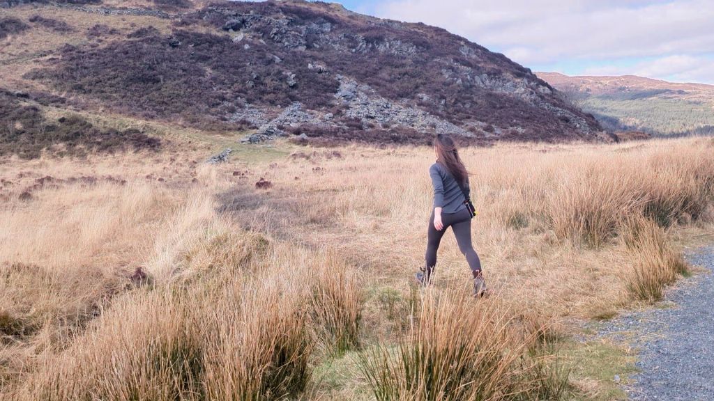
The start of the walk is really easy, just take the path next to the church opposite Joe Browns. There’s a stile followed by a beautiful walk through a sheep field with some absolutely stunning views back to Yr Wydffa right from the start.

Progress further along the path into some pretty ancient woodland, at this point you could decide to do the route the other way round but my preference is the easier path at the beginning. (refer to the map here if so)
There’s really no navigation needed until you reach a fork in the path by a bridge at which point turn left and continue for 20 minutes or so until you reach the start of the ascent up Crimpiau.

The path has been recently renewed to encourage cyclists so its very easy walking, just be sure to keep turning back and looking at those views of Moel Siabod.

Take a left off the path to start the ascent up to the summit of Crimpiau. There are a few steep sections that will get your heart pumping but from this point it’s probably less than 30 minutes to the top on a winding mountain path.
The reveal at the top is breath taking. Ogwen Valley and the Yr Wyddfa massif in all their glory. Take your time at the top for theose 360 views of Llyn Crafnant, Llynau Mymbyr and more summits than you can count on your fingers (a great place to get the map out and work out exactly what you can see.

After that you need to bear left off the summit and pick up a fairly obvious small path. Much like the route up this is a narrow mountain path with a few sections of rock step.

Your next target is Llyn Corun where you will pick up a fence line which you can then follow most of the way back. It’s very boggy and if visibility is low you can easily get dissorientated in this kind of terrain – so make sure you have checked the weather forecast. I’ve got tips for which are the best weather apps here – best weather apps for mountains.

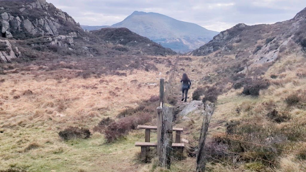
Stay to the left of the lake, there is a path visible that takes you up to the right and to a stile. Check the map if you don’t hit the fence. It’s easy to get lost here even in good visibility as there are lots of options where people or animals have tramped down different paths.

Next you will start downhill and pass over another stile at the bottom, then a flat and boggy walk to the right of a stone wall before you find possibly the boggiest stile in the whole of Wales?

After this point it’s all downhill until you reach the path you started on. By down hill, I mean a very steep section of path.

I hope you enjoyed the route review. There is a little deviation you could take if you want to see Llyn Crafnant or you could simply do the full route from Llyn Crafnant Carpark if time allows and parking is limited.
Llyn Crafnant Bluebells

If you do this walk in May be sure to go from the Llyn Crafnant side as the walk takes you past the most beautiful display of bluebells I’ve seen in a long time! (or take a 20 minute detour if walking up Crimpiau from Capel Curig)
The image above was taken on May 21st and the bluebells were probably just after their best. I associate bluebells with woodland, not mountain banks so I was so pleased when I stumbled across them by chance.
The Route up Crimpiau from Llyn Crafnant
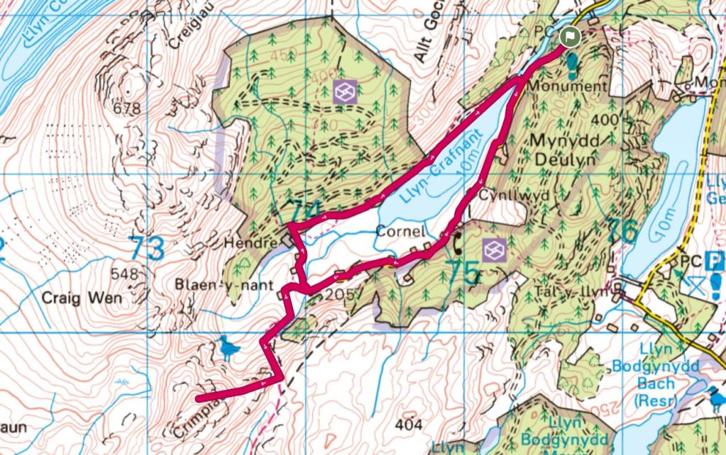
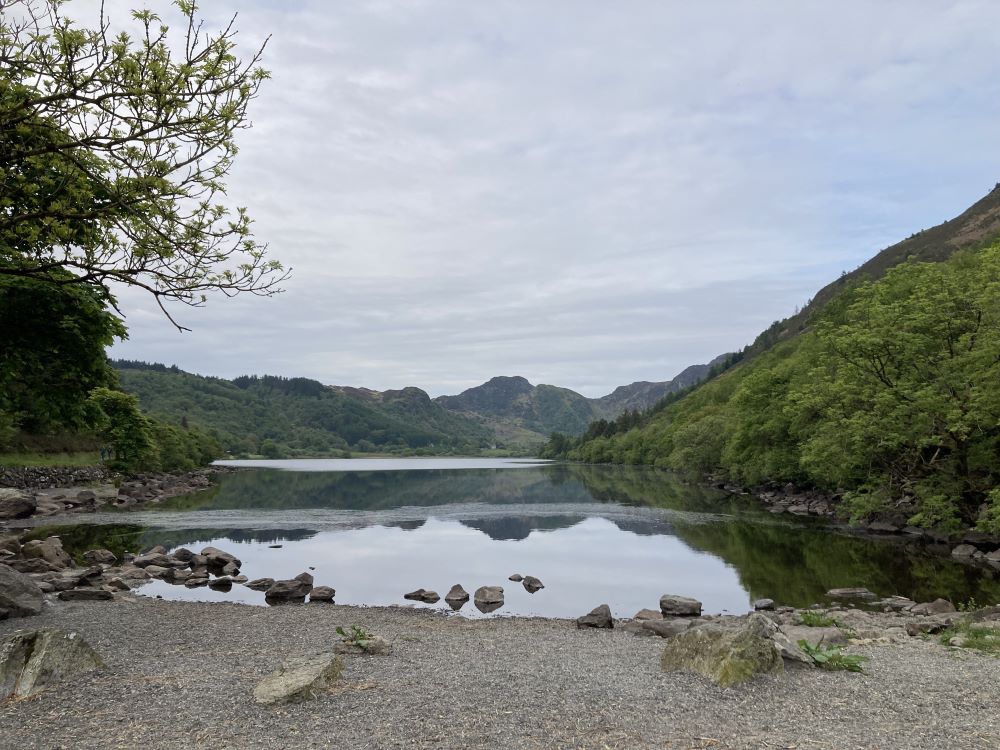
The route up Crimpiau is fairly straightforward. Once you have parked in the large carpark you head on the road on the left side of the lake all the way to the end until you reach a gate. The lake will be quite far behind you at this point.

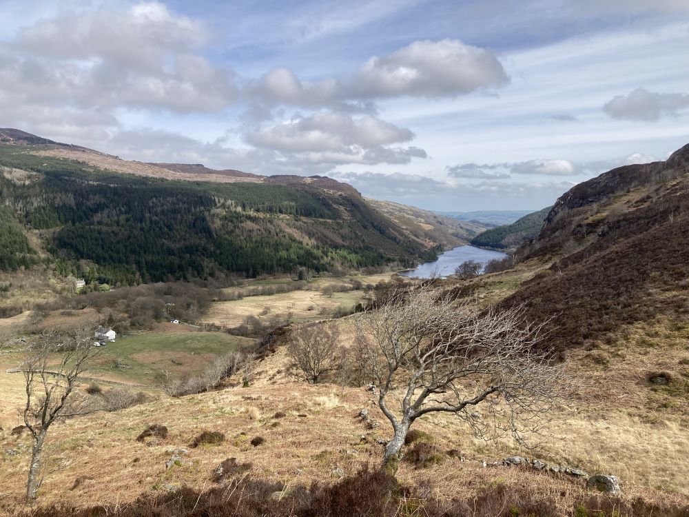
Once through the gate take the path heading up the hill to your left. The path is fairly clear all the way up and eventually you will meet this stone wall. The path leading up to the summit of Crimpiau is shorly after you pass this wall.
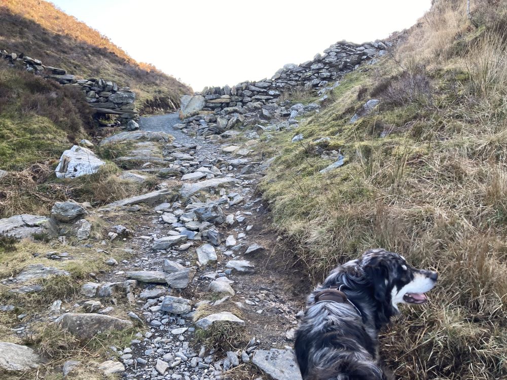
The path leading to the summit is clear all the way to the top. It bends around the left hand side of the hill before you head up through some rocky sections. You can follow the route above from this point.
Leave a Reply