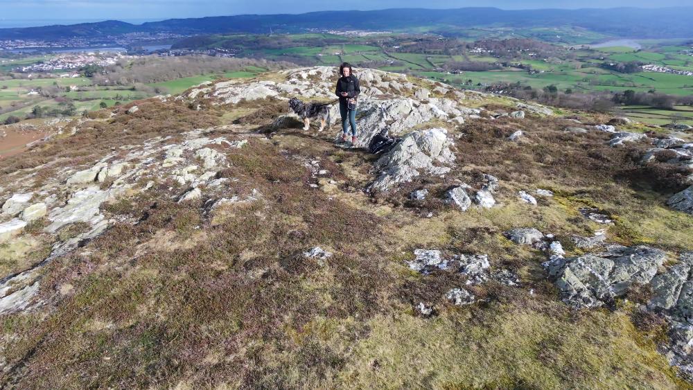
The two small summits of Craigyfed Wen and Maen Esgob although both are just under 1000ft, are officially part of the northern Carneddau. They sit on the upland slopes rising above the beautiful Sychnant Pass at the western edge of Conwy.
I wanted to share what a great selection of walks there are all starting from this area, you can walk for an hour or spend a whole day with so many route options.
Craigyfed Wen & Maen Esgob Circular
I’ve created a small loop to follow on OS Maps but really on a clear day if you have a map / OS Maps App with you, you’ll be able to pick your own routes out. In fact it’s a good place to brush up on your navigation skills before heading up into the higher mountains of Eryri. It will also be a little less busy than the popular Conwy Mountain walks.

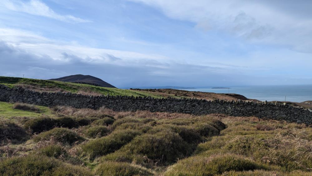
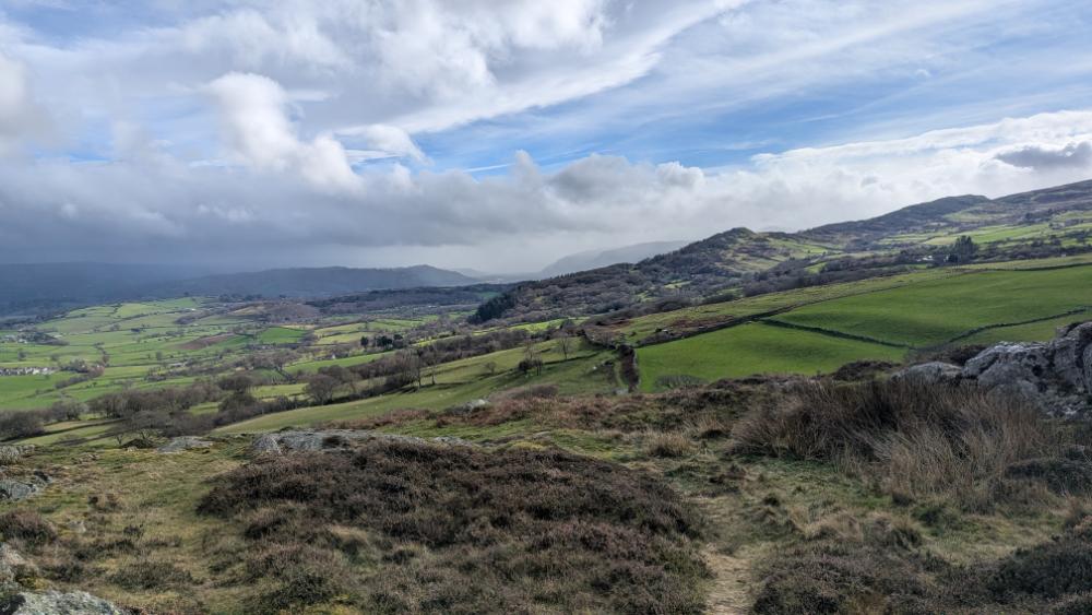
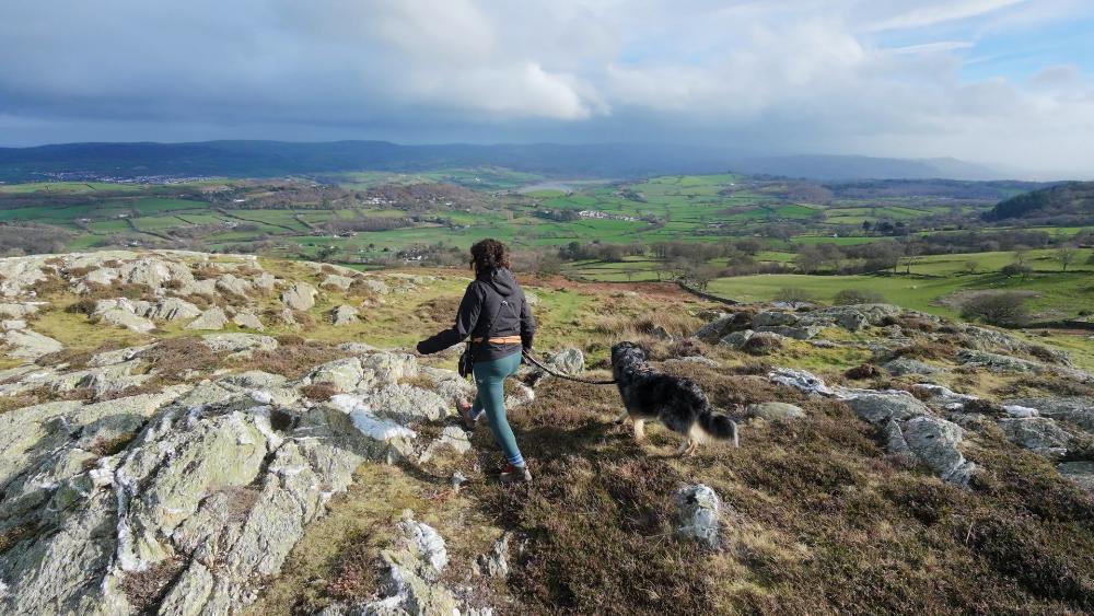
This area forms part of the coastal fringe of the Carneddau range within Eryri National Park, where the lower hills transition from open moorland into the narrow pass linking Conwy with Penmaenmawr. The two summits sit among a cluster of minor Carneddau tops that overlook Conwy Bay and mark the eastern boundary of the wider Carneddau massif.
Easy access from the A55 North Wales Expressway
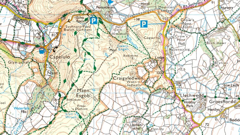
Access to the Sychnant Pass from the A55 is straightforward, with well‑signed junctions at both Conwy and Dwygyfylchi providing quick links up to the pass. Leaving the A55 at either Junction 16 (Puffin Roundabout) or Junction 17 (Conwy Morfa) puts you on the short local roads that climb directly toward the Sychnant Pass, making all three car park options easy to reach without navigating complex backroads. This makes the area one of the most accessible gateways into the northern Carneddau.

Where to Park for Craigyfed Wen and the lower Carneddau hills behind Conwy
There are three convenient car parks on the Sychnant Pass that all link directly to well‑established footpaths. This makes the area ideal for short hillwalks, longer loops, or simple explorations around the Sychnant Pass. (one of the P symbols points to two separate parking areas on the
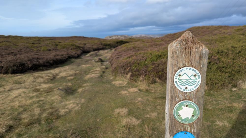
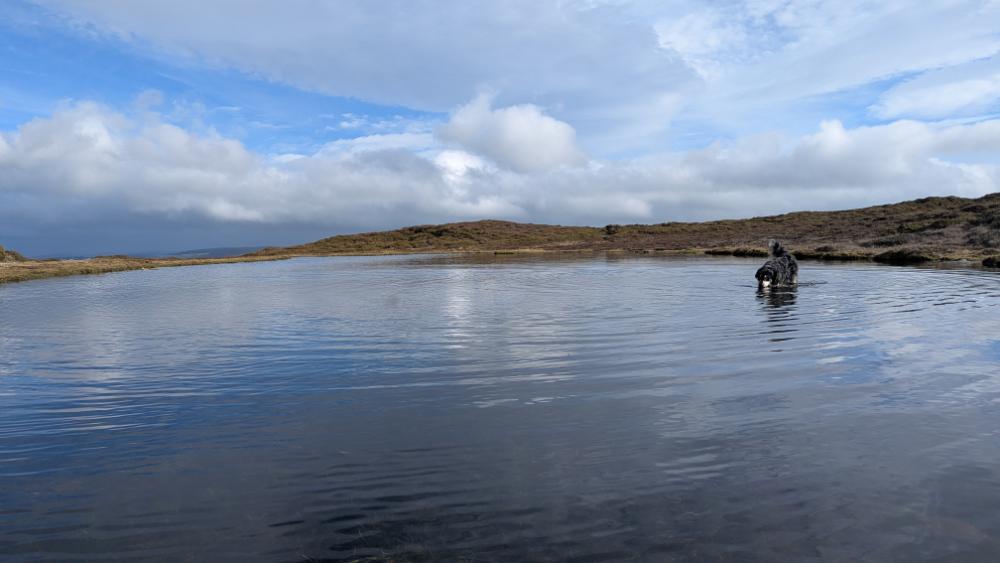
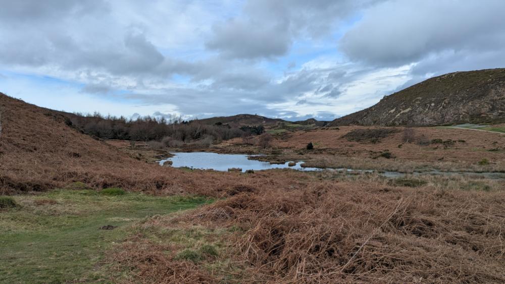
One of the paths is the well maintained North Wales Path with useful signposting. On a clear day decifing on your route shouldn’t be a problem, there are wide grassy paths to wonder around on.


You can find lots more walks that are easily accessible from the A55 North Wales Express Way here – Walks from the A55
Leave a Reply