
Explore Y Foel Goch: A Scenic Route into the Glyderau from Capel Curig
There are many routes up onto the high peaks of the Glyderau. This one is a great option to walk up from Capel Curig. In this post, I describe a circular route with Y Foel Goch as the goal summit. If you have more time this route can easily be extended to take in Glyder Fach and Fawr. You can even include Y Garn and beyond if you were thinking of walking the full Glyderau traverse.

What is the Glyderau?
The Glyderau (pronounced glidd-uh-rye and meaning piles of stones) is a stunning mountain range in Eryri (Snowdonia). Y Foel Goch is the most easterly peak of the Glyderau.

The Glyderau is famed for its amazing rocky terrain. You can read all about how Snowdonia was formed in my post about the Geology of the Glyderau and Eryri.
Most people walk into the Glyderau from Ogwen Valley. They often choose one of the many routes starting in the official Visitor Centre car park or lay bys. You can also access the summit of Y Foel Goch from Ogwen Valley.
See All Glyderau Routes
Y Foel Goch Height
Y Foel Goch is – 2641 feet / 805 metres high
Mountain Range – Glyderau
English Meaning – The Red Hill (or Bold Red Hill)
How to Pronounce Y Foel Goch – ee voil goch (it’s a soft ch not ‘chuh’ like in watch)
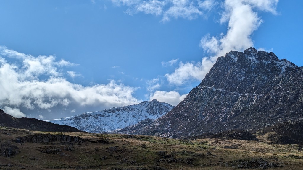
This image below shows Y Foel Goch among the other nearby peaks. It looks from Moel Siabod at the much smoother side of the Glyderau Range.

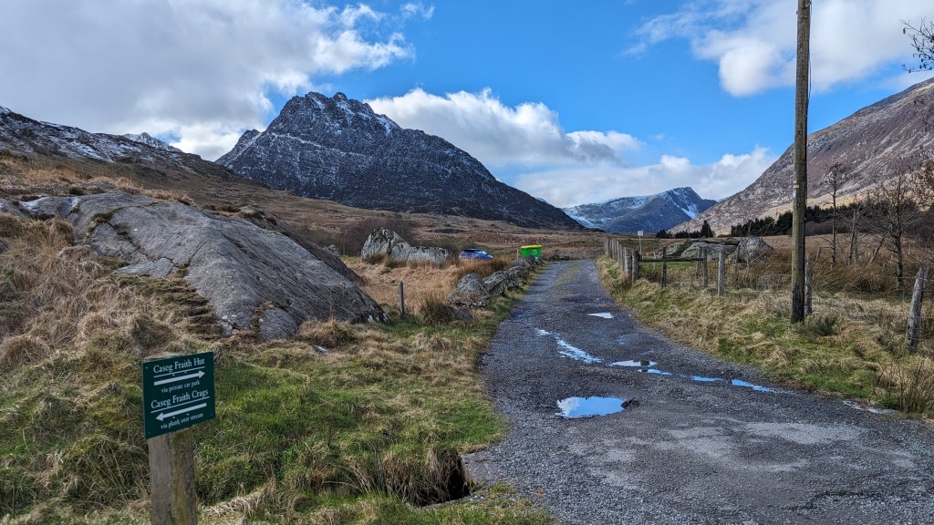
Where to park to walk up Y Foel Goch

Park in Capel Curig. It’s a very small town off the A5. The car park is behind Joe Browns. It is big enough for 20 or so cars. However, it can get very busy in the holidays. It’s also a perfect place to park for heading up Crimpiau or walking to Llyn Crafnant or the Crafnant Circular.
How long does it take to walk Up Y Foel Goch from Capel Curig?
This circular route will take around 5 hrs, it is 14km in total. The summit is just under 5km from the start. You can make the walk shorter by turning back the way you came once you reach Y Foel Goch.

The route I took goes down via Cwm Tryfan. This path is just stunning. Then, it’s a bit of a trudge along the Snowdonia Slate Trail back to the car park. It’s all off the road. Although the last few km are not on mountain paths, they are still in very beautiful surroundings.
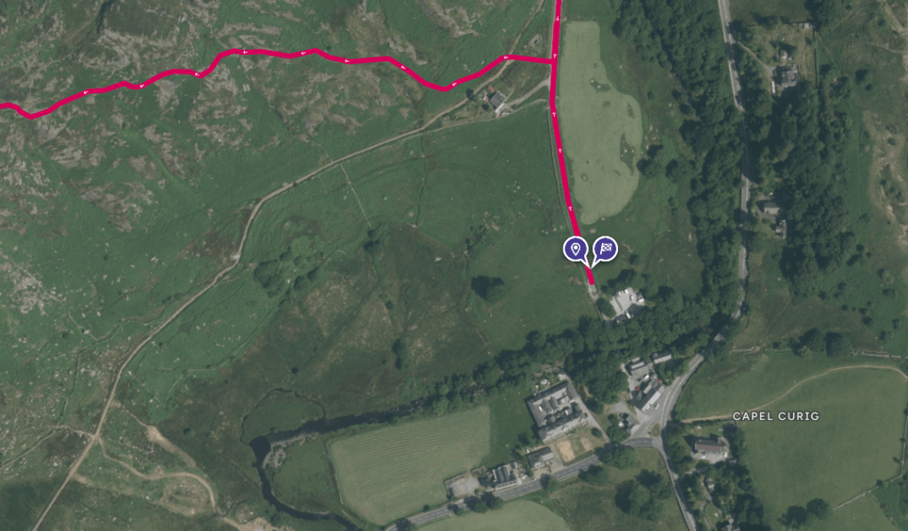
Y Foel Goch Circular from Capel Curig Route Map

The route starts from the car park, turn right heading up the road. Pass the small house on the left. Pay close attention to find the path that turns left and starts up the ridge. The path isn’t that clear. If you miss it, you should be able to see the general direction with reasonable visibility. Then, pick up the path a little higher.

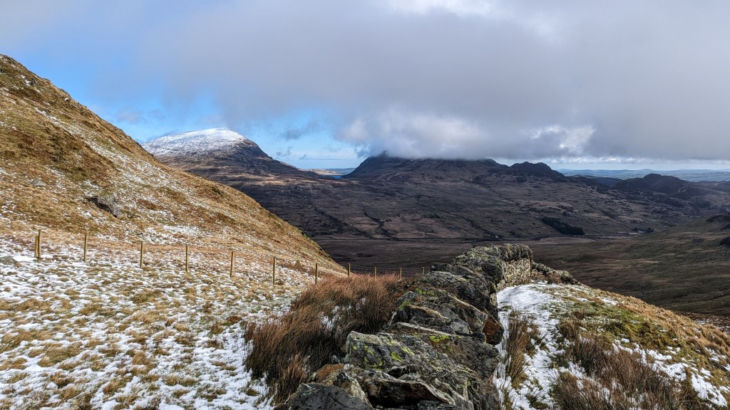
The path continues straight up the ridge heading to Y Foel Goch. The views of the Carneddau to your right and Moel Siabod to your left are beautiful.

Above is a picture looking back at the path, it’s a very gentle slope once you reach the first summit Cefyn Y Capel. Half of the height is gained in the first mile of walking.

You’ll climb over this beautiful stone wall as you progress up the path. At this point it gets a little steeper.

As you progress up the next section the ground becomes much more rocky and you’ll need to carefully pick your way through.

There is a small summit shelter when you reach the top.
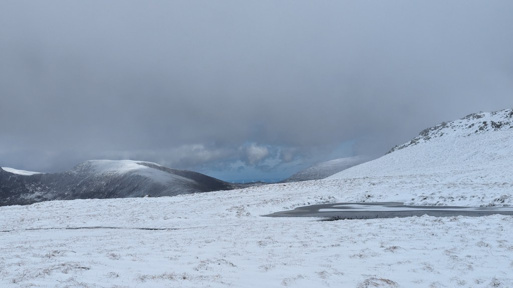
Continue on the path which is fairly well worn through grass (trickier in snow!) on the map you’ll see Llyn Caseg-y-Fraith which you should keep to your right.

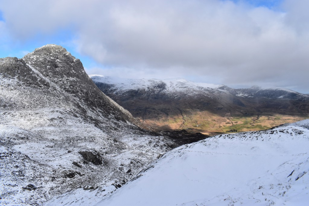
You’re looking to join the Miner’s Track for a short time. It’s a fun route down a short steep section which you can see in the reel embedded below.


Instead of following the Miners Track which would take you up to Bwlch Tryfan, stay low in Cwm Tryfan and make your way along a path that eventually tracks to the left of Nant Gwern Y Gof, a small stream.

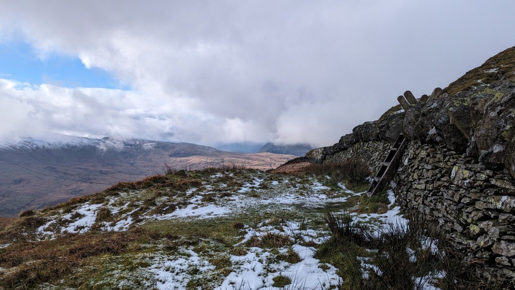
Stay to the right of Tryfan Bach and make your way to the Llwybr Llechi Eryri – The Snowdonia Slate Trail.
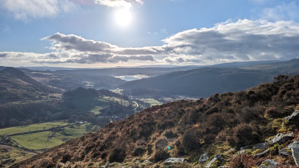
Turn right across a bridge and make sure you stop to admire the absolutely majestic views all around you!

The next part of this walk is very straightforward, simply walking along an obvious track all the way back to Capel Curig. This is a fairly long section so you’ll have hopefully saved yourself some snacks and a bit of coffee!

If you have any questions or feedback on this route please do leave a comment!
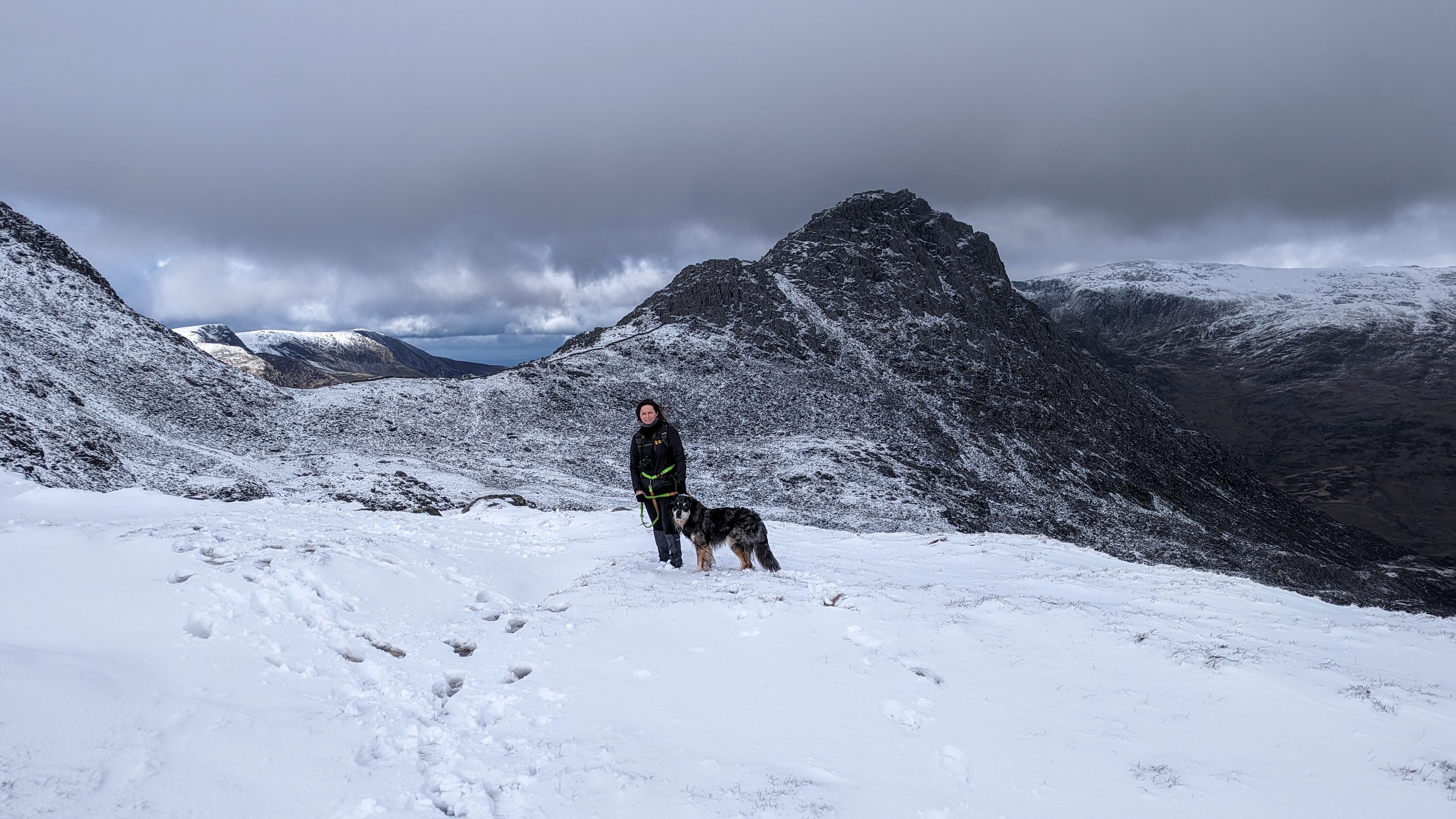
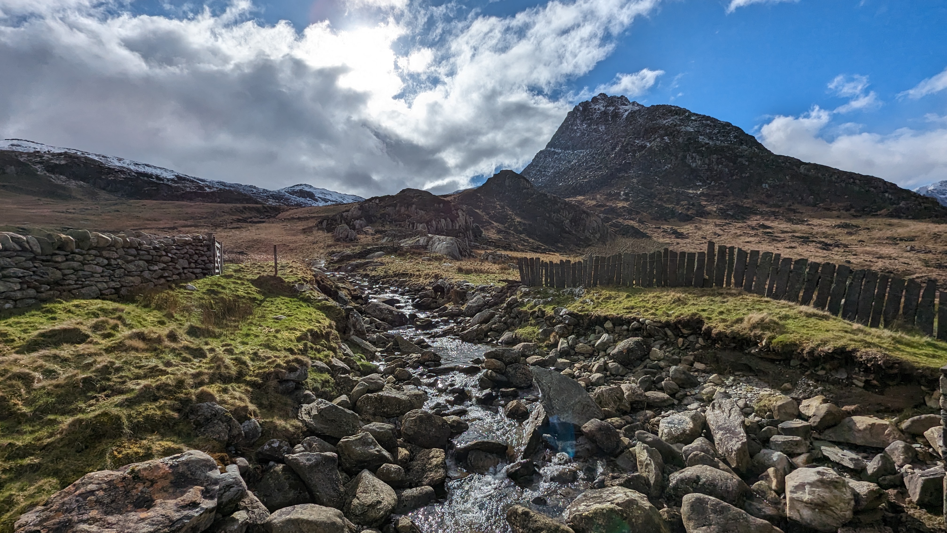
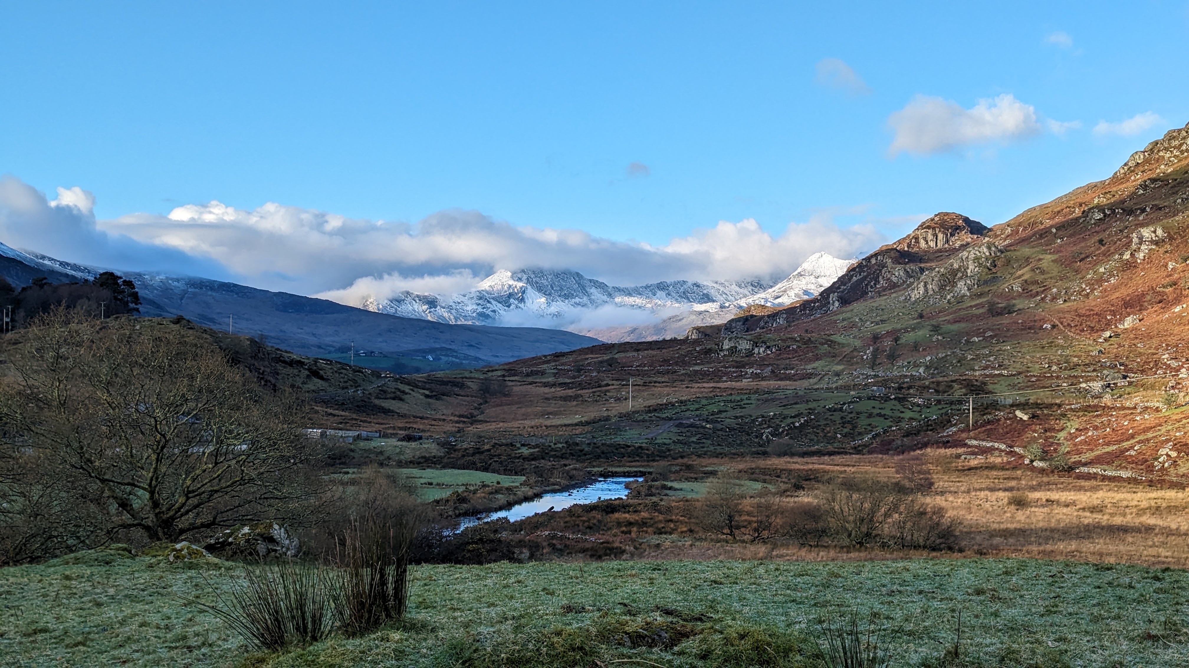
More photos from this circular walk up Y Foel Goch


Leave a Reply to KaterinaCancel reply