Mynydd Mawr Walk & Parking

Mynydd mawr

Walk up Mynydd Mawr!

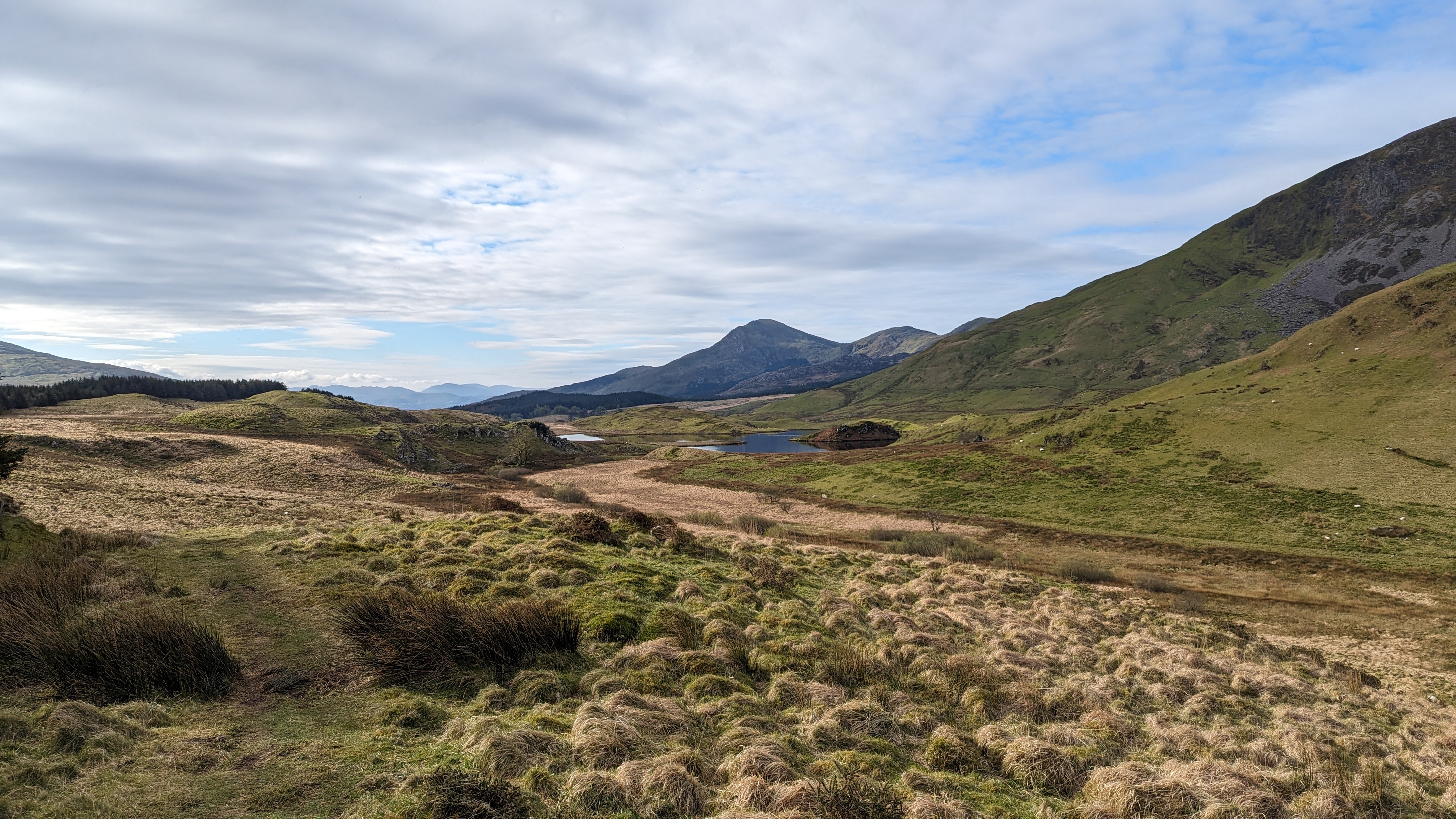
This Mynydd Mawr walk is absolutely stunning as this mountain in Eryri Snowdonia sits right in between Yr Wyddfa and The Nantlle ridge, so the views are absolutely spectacular!

The view of The Nantlle Ridge from Mynydd Mawr

Height – 2290 feet / 698 metres
Mountain Range – Northern outlier of the Moel Hebog Group
English Meaning – Big Mountain
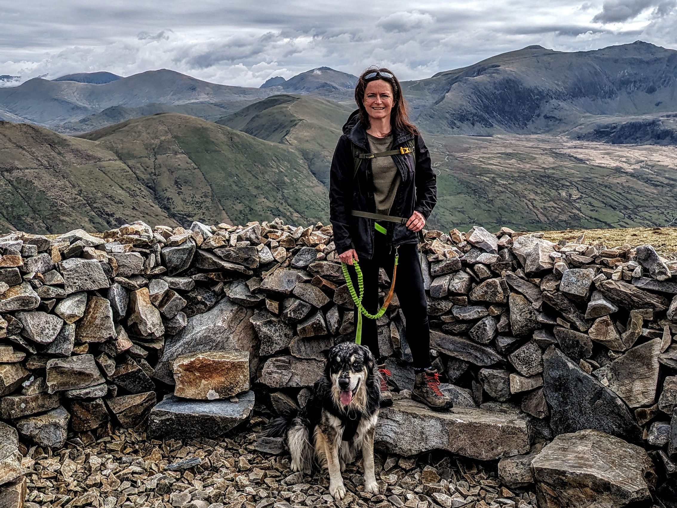
Standing in the circular stone shelter at the top of Mynydd Mawr – you can clearly see the distinctive shape of Tryfan just to the left of me! Sticking up between the Glyderau. The Snowdon Massif is to my right.

Where to park for Mynydd Mawr

There are a few options, but don’t stress too much as this mountain is not anywhere near as popular as some in Snowdonia so you will find a space, you may just need a little extra walk to the start.
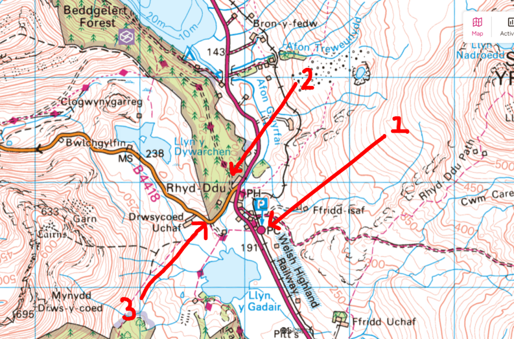
  1. Park in the official car park and walk up to the start of the Mynydd Mawr Walk
  2. Head up this track into the forest just a little way and find a few parking spaces on the left – tuck your car well in.
  3. On the corner here you’ll find a bit of a lay by with space for quite a few cars, people park here to start the Nantlle Ridge.

How High is Mynydd Mawr

Mynydd Mawr stands at approximately 698 meters (2,290 feet) above sea level.

You can see here how steep the descent I took was.

How long does it take to walk up Mynydd Mawr?

The out and back walk takes around 4hrs.

The walk that I actually did, which was a loop took around 4.5 hrs. However, I did take a fairly awkward route down. I have included only a link to the out and back route purely because I got a 1 star review on the other route from someone who said they basically found it dangerous, so I removed it from OS maps – it wasn’t dangerous in my opinion, just a little tricky to navigate and very steep. You can DM me on Instagram if your want more details.
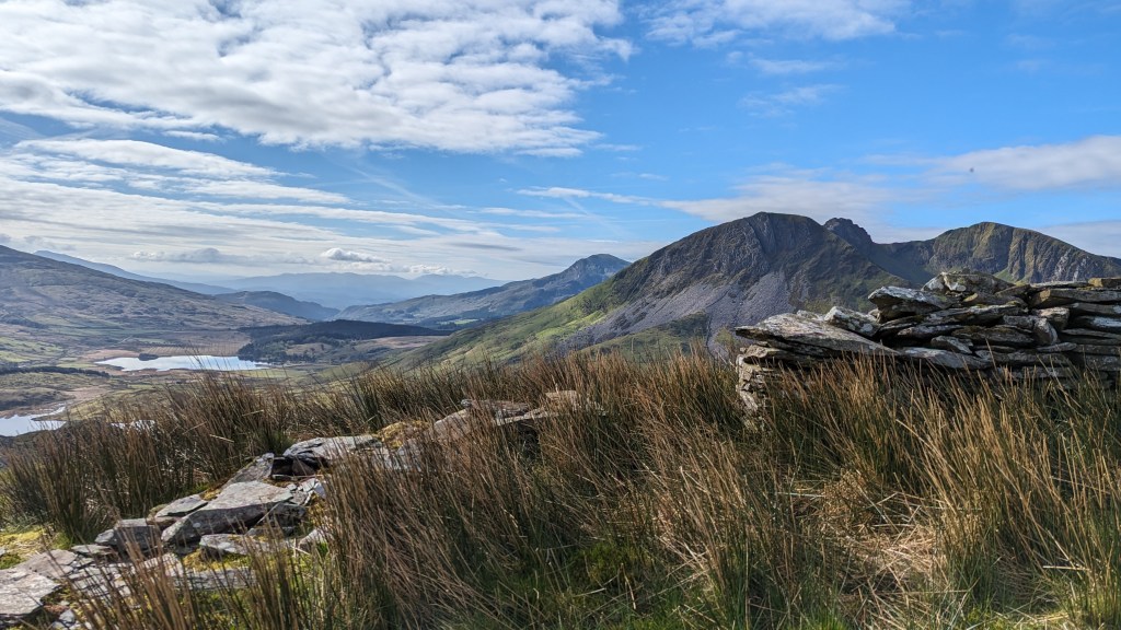
Mynydd Mawr view from the path up to the summit

What does Mynydd Mawr mean in English?

Mynydd mawr translates into English as Big Mountain, which is interesting given it’s smaller than many surrounding it. I assume the name has come from those people dwelling below.

How to Pronounce Mynydd Mawr

It’s pronounced Mun-ith M-ow-r (the ow is as in cow)

view from Mynydd Mawr walk
The view of the Snowdon Massif from Foel Rudd on the Mynydd Mawr walk, the foreground lake is Llyn Cwellyn

Mynydd Mawr Route

Starting the Walk Up Mynydd Mawr

This is where I parked, I’m looking back at my car before starting the walk.

The route starts on a forestry track, you walk along for around 10-15 minutes before heading up a path on the left. The path makes it’s way through woodland until coming to a ‘crossroads’. Turn left, heading uphill to a newly created kissing gate. There will then be an obvious path on the ground, so turn right and head up the hill.

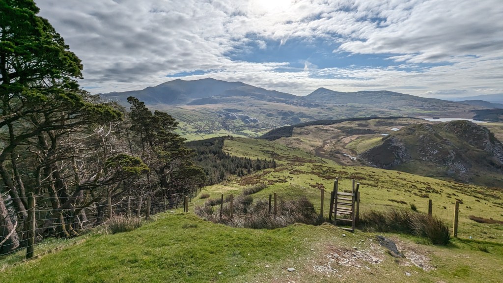
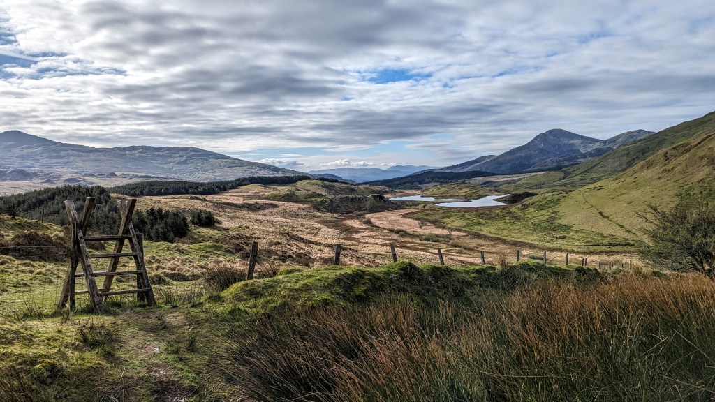
There are a couple of ladder stiles to negotiate – my dog loves them but just bear this in mind if you have a dog that needs carrying over as there are no dog gates.
Mynydd Mawr Walk
Looking back at one of the ladder stiles on the path up to Mynydd Mawr
  • Mynydd Mawr Walk looking at Snowdon Massif
  • The track enroute to Mynydd Mawr
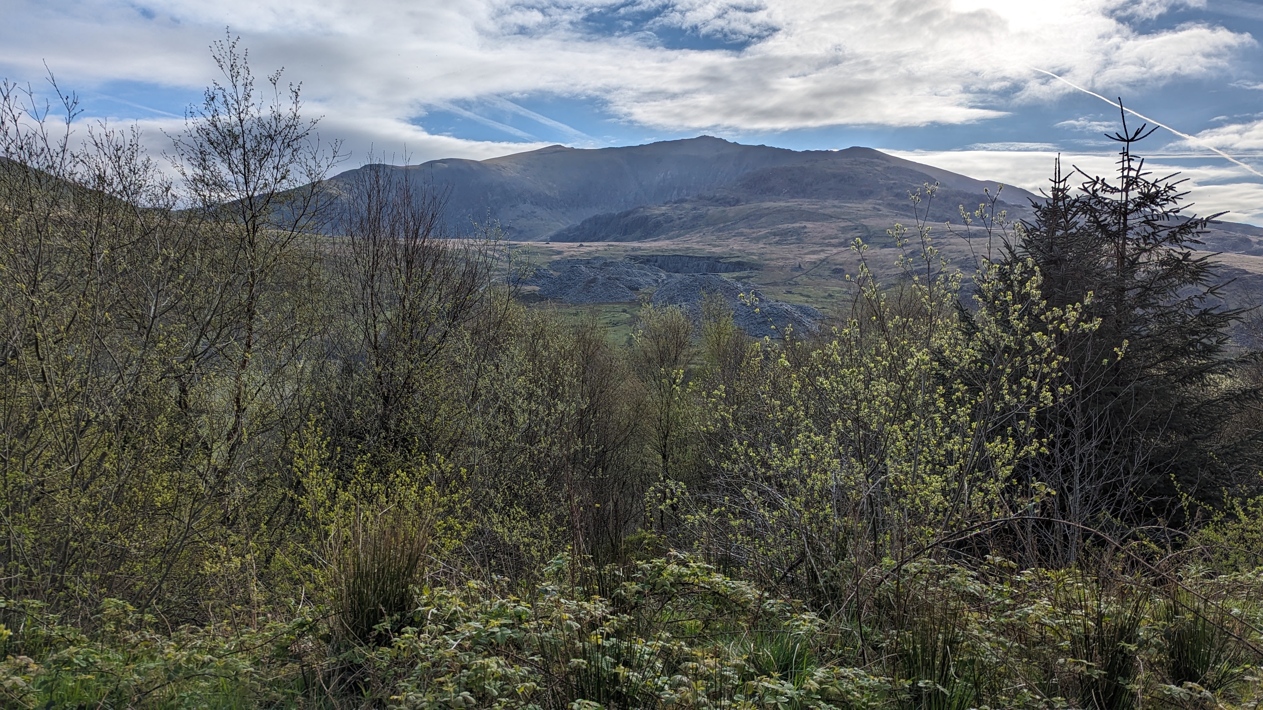
  • Views from the Mynydd Mawr path
  • Views from the Mynydd Mawr path
stiles on the mynydd mawr walk
Looking back towards Yr Wydffa, a little further up at another ladder stile on the start of the climb up Mynydd Mawr

The path progresses steeply up until you reach a flatter ridge section.
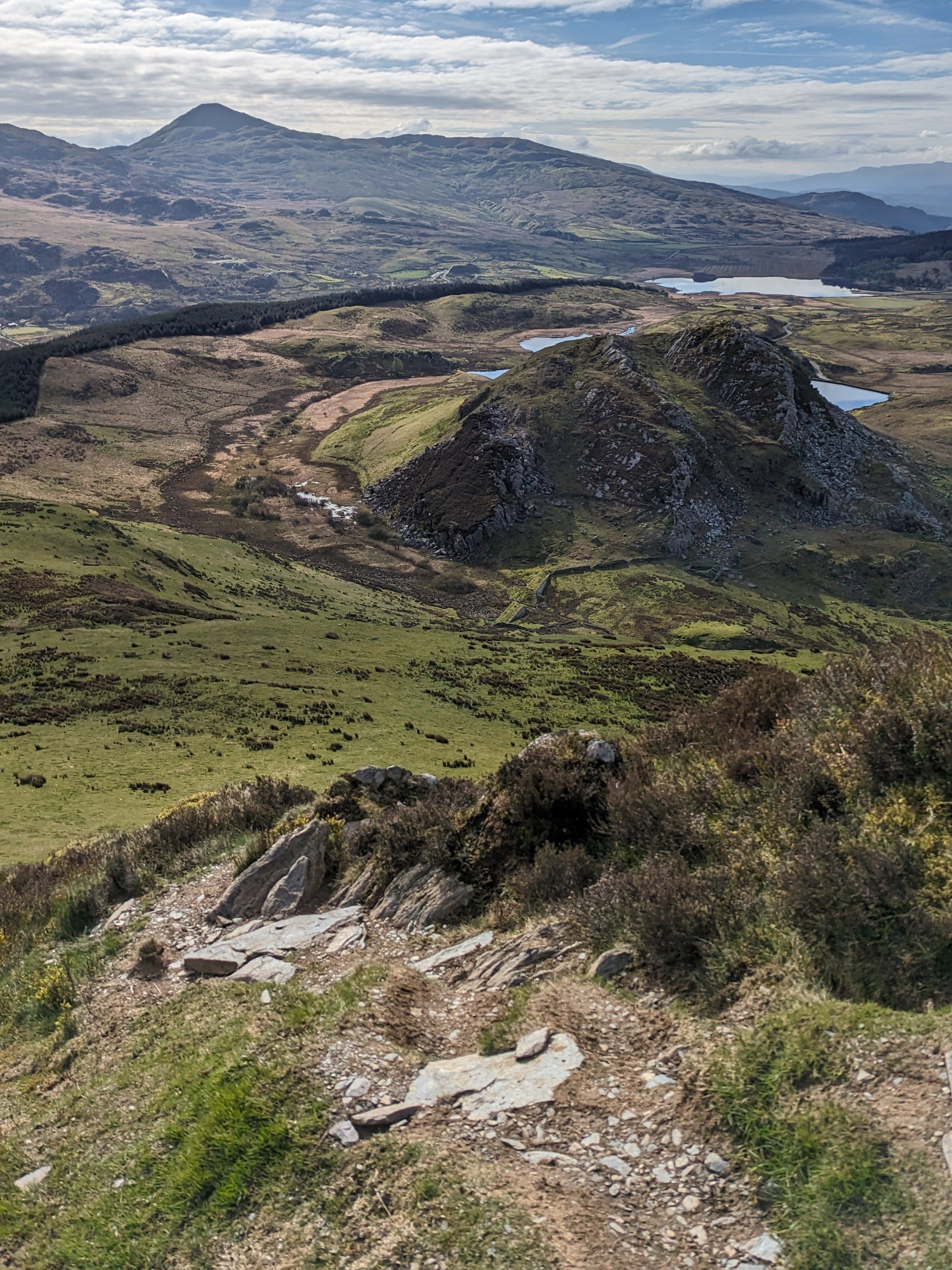
Steep path up Mynydd Mawr
Steep path up Mynydd Mawr, that lump in the middle is called Clogwenygarreg

Foel Rudd

Once you reach the summit of Foel Rudd (573m), the path naturally veers to the left and flattens out on to a wide ridge path which is much more gently rising. It’s an absolutely beautiful section of path with extraordinary views of the surrounding mountains of Eryri.

Mynydd Mawr path looking back at the summit of Foel Rudd - a view looking back from the path up to the summit
Mynydd Mawr path looking back at the summit of Foel Rudd – a view looking back from the path up to the summit
the ridge path from Foel Rudd to Mynydd Mawr Summit
The ridge path from Foel Rudd to Mynydd Mawr Summit
Ziggy and I found an ideal spot for a little snack and a rest! Just above the fabulous rock formations of Craig y Bera! The lake you can see is Llyn Nantlle Uchaf and in the distance you can see Caernarfon Bay. You can read some practical tips on hiking with dogs in the mountains here – Hiking with Dogs in the Mountains

Craig y Bera

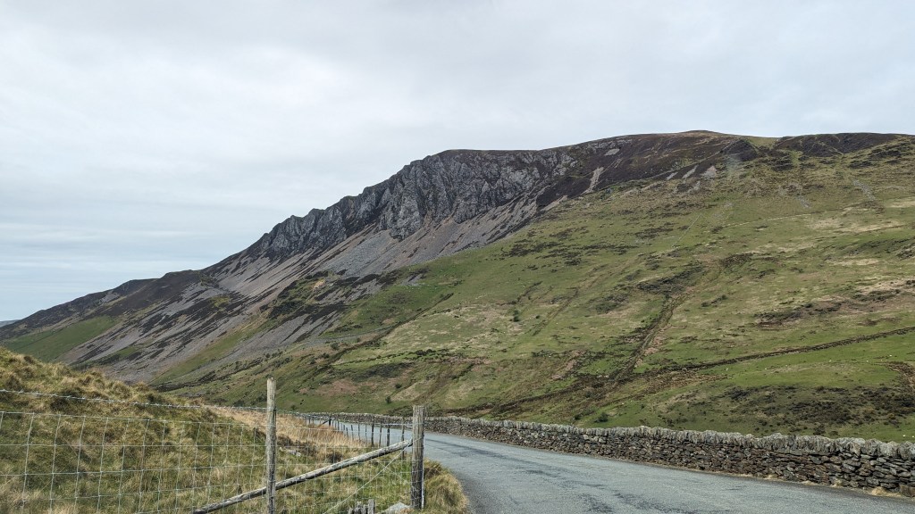
Craig y Bera seen from the B4418

Craig y Bera is a striking rock formation nestled between the summits of Foel Rudd and Mynydd Mawr. Known for its rugged beauty and dramatic cliffs, Craig y Bera stands out as a prominent feature in the landscape, offering stunning views of the surrounding mountains and valleys.
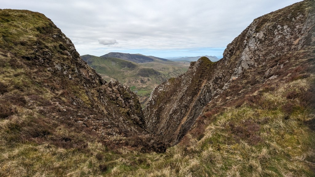
Craig y Bera seen from the path between Foel Rudd and Mynydd Mawr

The name “Craig y Bera” translates from Welsh to “Crag of the Falcon” The rock formation is composed of ancient volcanic rock, which has been shaped over millennia by natural forces, resulting in its unique and impressive appearance.

Craig y Bera seen from the path between Foel Rudd and Mynydd Mawr

To find out more about how Snowdonia was formed you can read this post – How was Snowdonia Formed?

The Summit of Mynydd Mawr

After you finish gawping at the beauty of the rocks of Craig y Bera to your left, it’s a shortish walk to the summit of Mynydd Mawr. The summit has a couple of circular stone shelters. I’ve made good use of these on a previous walk in high winds!

Summit of Mynydd Mawr
Summit of Mynydd Mawr taken from the stone circular shelter
A video taken on the Summit of Mynydd Mawr showing the spectacular view

On a clear day the views are spectacular as you can see by my amateur video above. (I hope it doesn’t make you too dizzy!)

Let me know in the comments if you enjoy this route!

Hilary x

9 responses to “Mynydd Mawr Walk & Parking”

  1. mikebartleymufc Avatar
    mikebartleymufc

    beautiful pictures and videos ..thankyou .
    another to add to my to do’s list when i’m up back and running .(well walking 😄)
    thankyou again for sharing and letting us join you on your adventures .
    take care good health and long life ..🏴󠁧󠁢󠁷󠁬󠁳󠁿🗻💕

    1. Thanks Mike! Let me know what you think, and take note of the sketchy route I took down – safe but a bit scratchy with all the heather

      1. mikebartleymufc Avatar
        mikebartleymufc

        sadly gonna be a while before my treking days are back . So for now will have to live the walks thru your eyes and pictures wich im loving 💕 ..and sorry but the scratches and dodgey paths are all yours for now at least .. thankyou again for all the hard work and effort you put into these blogs they are amazing ..your a star 👍x

  2. It looks like a fabulous route and one that I’ve not done yet. So I’ve just created a route on OS Maps (in readiness) and I see the route (automatically created) appears to go down by the stream (Afon Goch). Is that the route you took or avoided? (Your drawn route appears to cross that stream and head to the top of the forest, whereas mine goes down to the lake). 🤔

    Let me know and I’ll possibly check it out next weekend when a friend is coming to stay for a few days walking. 👍😊

    1. So if you read in the post I was advised by some people coming up that I might get in to difficulty going tldoen to the lake which is why I rerouted – id planned to do the same as you are planning. If you do it can you let me know if it’s technical or just a bit scrambly – I’m planning to walk along the lake shoreline the other way and have a look myself! Hope that makes sense, I was on my own with a dog I can’t carry so I decided to be cautious and took a safe route back to the path I walked up on

      1. Thanks for the clarification. I also wondered about going the other way as it’s generally easier to scramble up than down. I’ll let you know. (Fingers crossed for good weather next weekend!)

  3. […] ddu path… you will find somewhere in this area. It’s also very close for the start of Mynydd Mawr where I have some more parking […]

  4. […] Mynydd Mawr Height – 2290 feet / 698 metres Mountain Range – Snowdon / northern outlier of the Moel Hebog groupEnglish Meaning – Big MountainMynydd Mawr Route […]

  5. […] Mynydd Mawr (Image by @nearlyuphill) […]

Leave a Reply