Can you get into the Glyderau from Pen y Gwyrd?
Yes! It’s a lovely quiet route and not too steep, although this does make it a slightly longer route. The path isn’t as clear as if you start from Ogwen Valley and ideally you want a nice clear day to help with navigation. It’s definitely worth exploring but if you haven’t walked up the Glyderau before or you’re a bit inexperienced I would 100% suggest starting from Ogwen Valley and following a more well trodden path. My favourite route up into the Glyderau is via Cwm Tryfan.
Quick Pronunciation Guide
> Glyderau is pronounced Glid-ur-eye. The ‘eye’ sound on the end just makes it plural – you’ll hear the anglicised version as The Glyders.
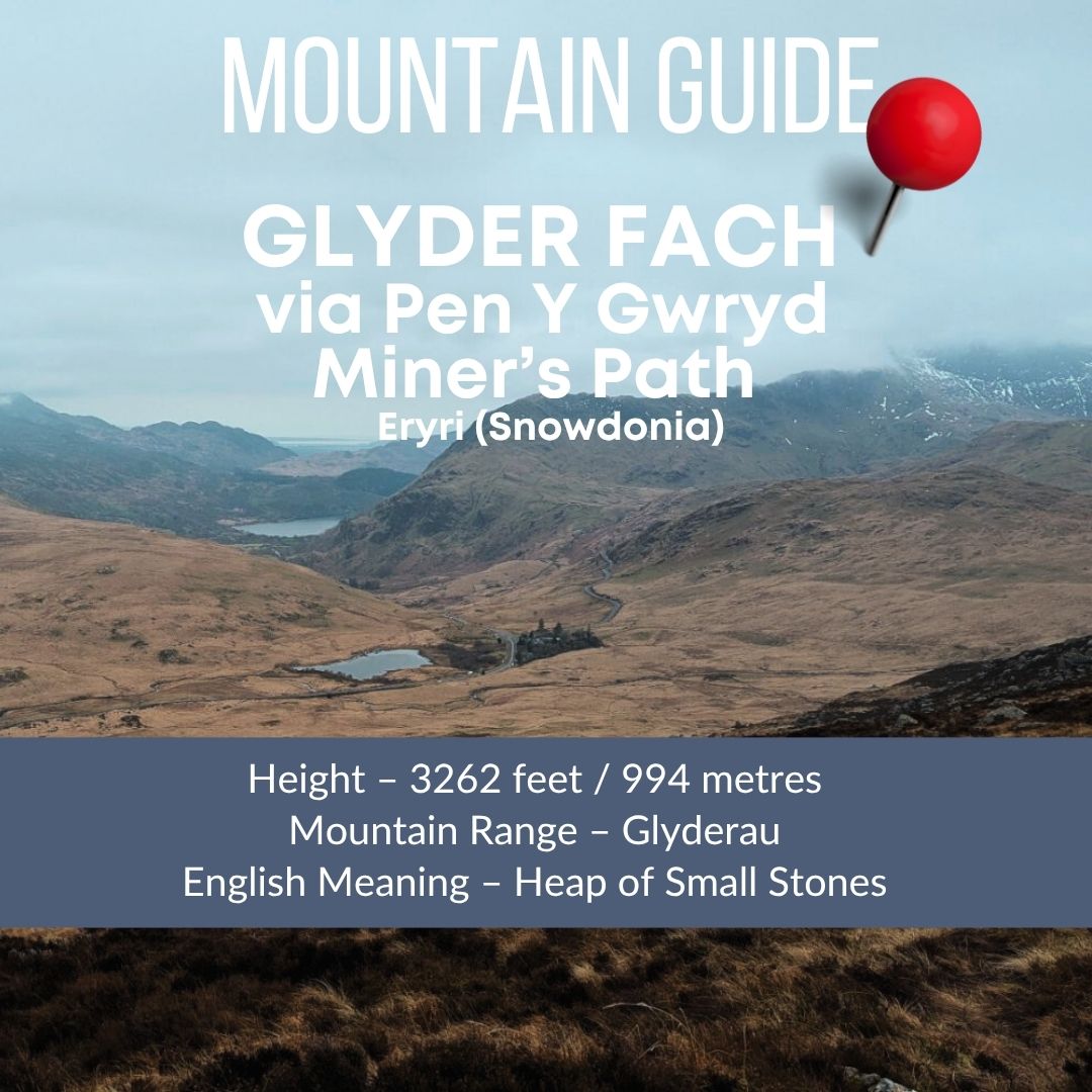
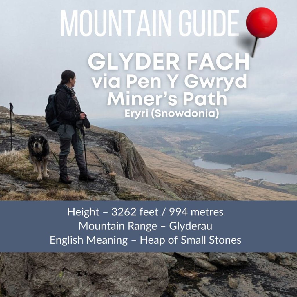
> Glyder Fach is pronounced Glid-ur Vakh – it’s like saying vack but the cchhhhh at the end is longer and not as hard. It means small heap of stones.
> Glyder Fawr is prounced Glid-ur Vow-rrr. It means big heap of stones.
The Miners Track up to the Glyderau from Pen Y Gwryd Layby
I’d driven past the layby just before the Pen Y Gwryd Hotel countless times, and finally decided it was time to head up the Miners’ Track. On the map, this path is just one of those little black dashed lines, an OS Maps feature that always feels a little bit like a gamble from my past experiences!
This one, thankfully, is named, which confirms it actually exists. However, it was quite tricky to follow in places, especially with the semi-snowy conditions and low visibility I was dealing with.
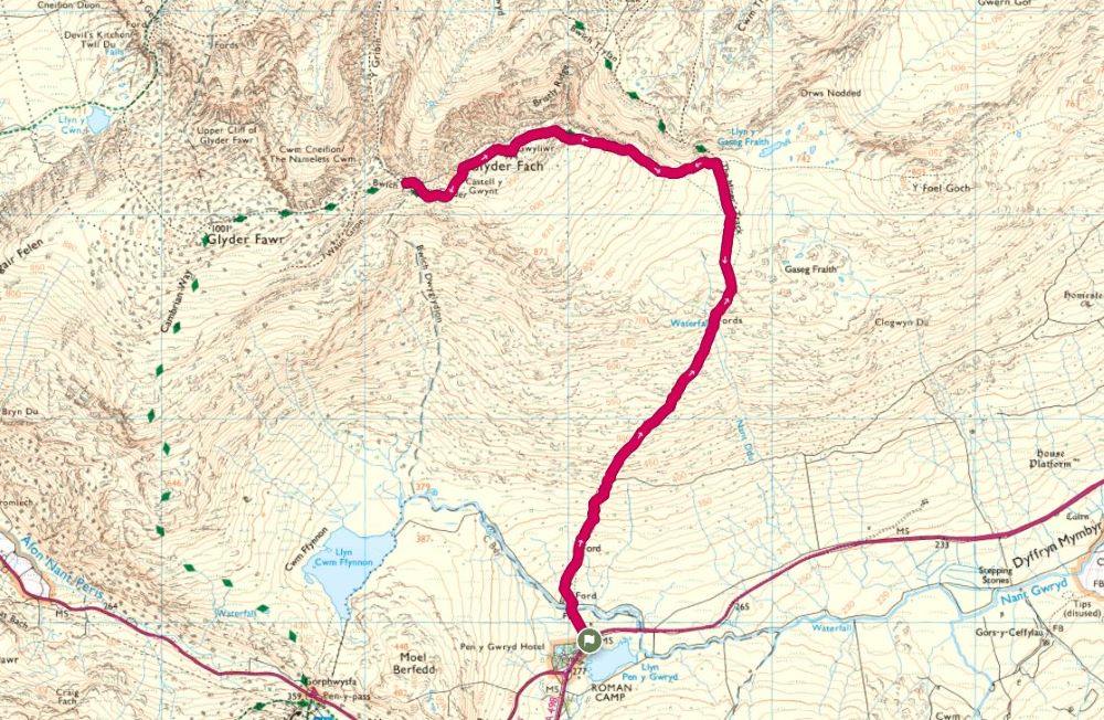
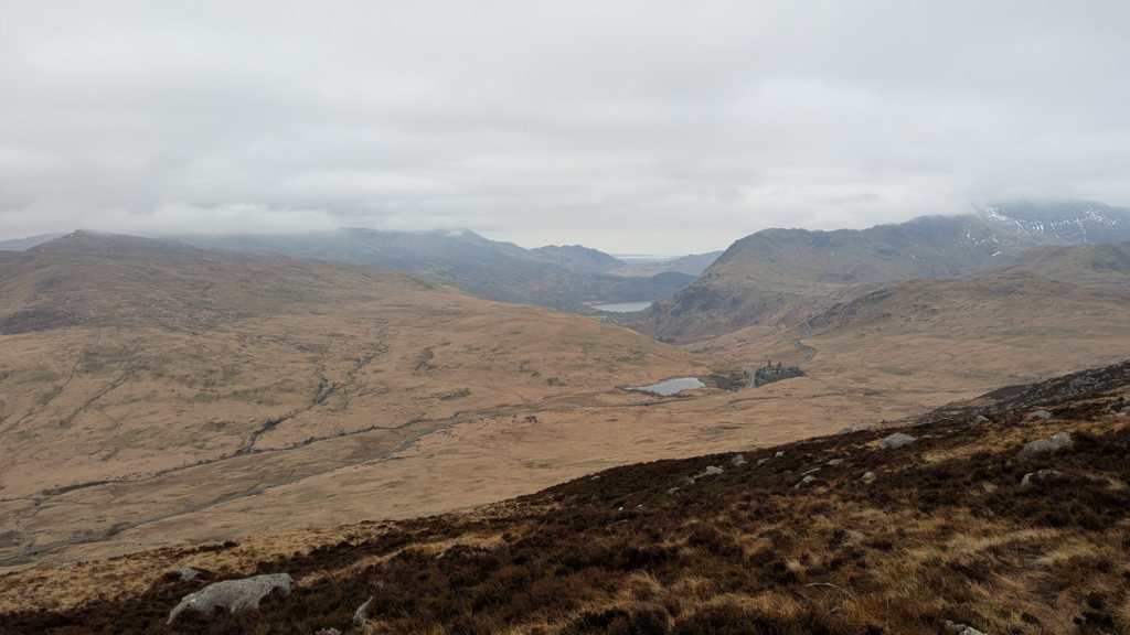
The conditions weren’t great for a longer day on this occasion. So I kept this walk to a simple out-and-back. However, for a future visit, the map above clearly shows the potential to extend this route significantly via the Cambrian Way and perhaps coming back past Llyn Cwm Ffynnon. This would make it into a spectacular full-day circular that takes in both Glyder Fawr and Glyder Fach summits.
Do Let me know if you’ve tried this – there looks to be a little dotted path to the lake and the possibility to follow the stream back to Pen y Gwryd (but it could be all fenced off!) Alternatively you can just pick up the road and slog back up to the layby.
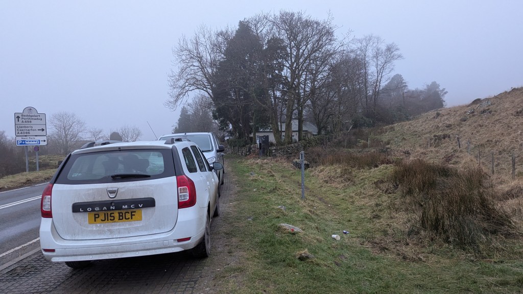
The Route Starts at the Pen Y Gwryd Layby – spaces are limited.

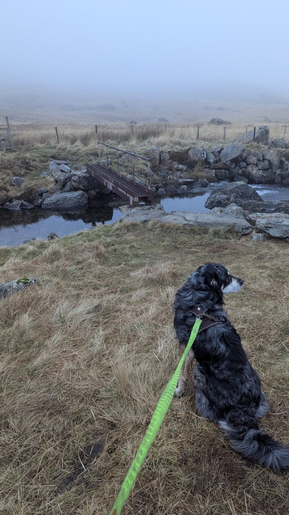
Climb over the stile from the layby and head towards a little bridge, then over another stile.

Follow a wall which veers off to the right (there are two so make sure you’re following the correct one.


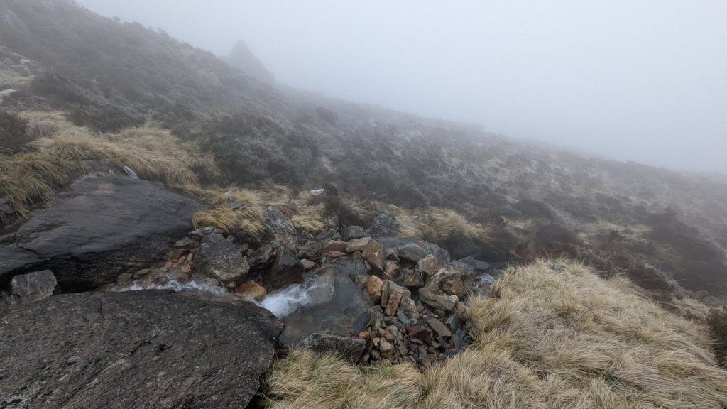
Once you have crossed over the stone wall the path can be picked up, it veers off to the right. Keep heading up and you can check you’re on the right path as you cross over the ‘waterfalls’ of nant Ddu (Black Stream) which are marked on the map.
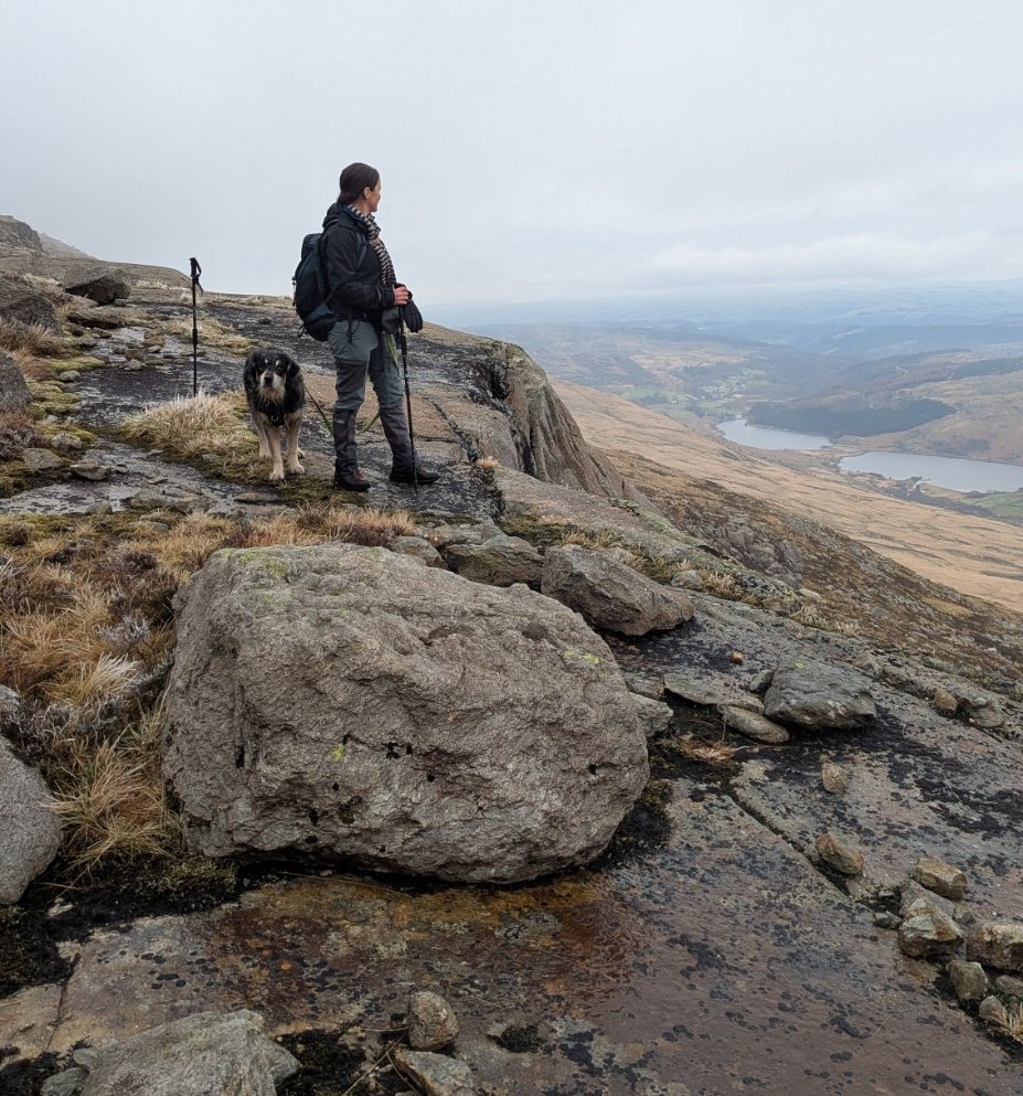
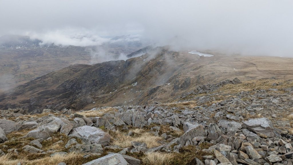
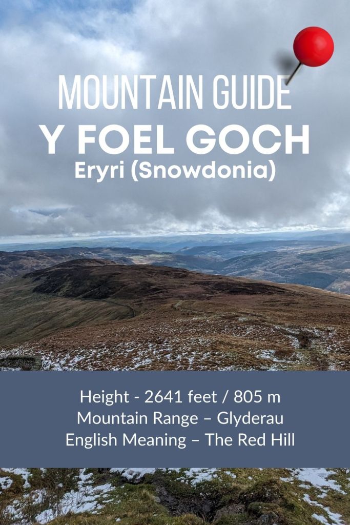
As you keep following the path up it may become much harder to find in the boggy top section as you approach the saddle between Y Foel Goch and Glyder Fach. On a clear day this is no problem, if you have low cloud as i did it may mean you find yourself off track. I relied heavily on OS Maps to check I was going in the right direction and I’ve walked the top of Glyder Fach many times before which also helped with navigation.

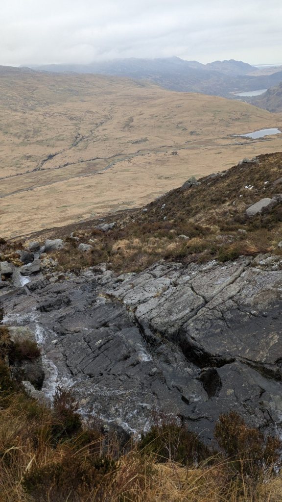
You should be able to pick up the much more obvious Cambrian Way path (green diamond path on your OS Explorer map)- you can just see it snaking up on the right of the photo below.
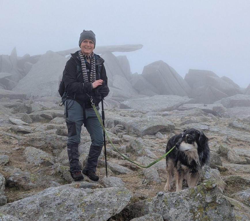
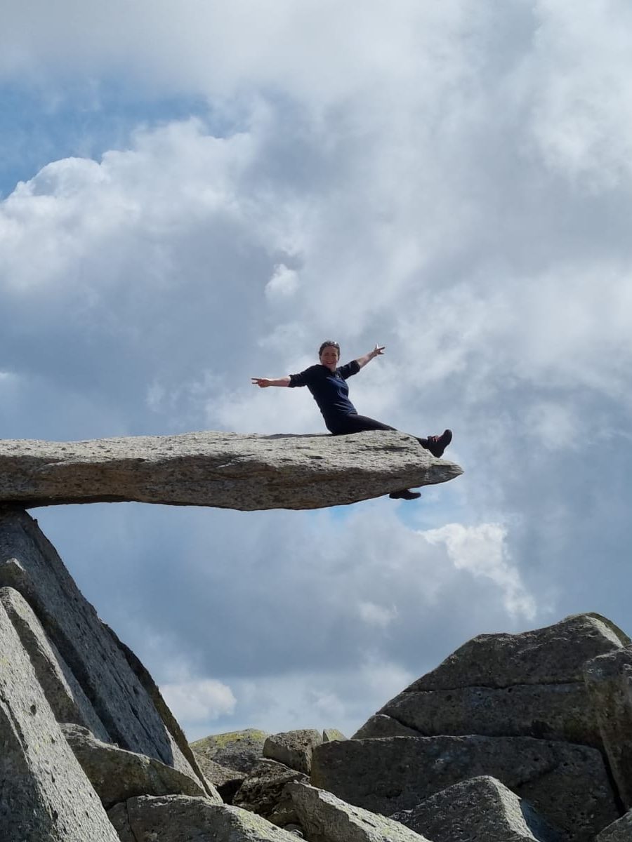
Be sure to seek out the cantilever stone which you’ll reach just before the summit of Glyder Fach. If there isn’t a group of people waiting for a picture it can be easy to walk right past it, especially on a cloudy day.

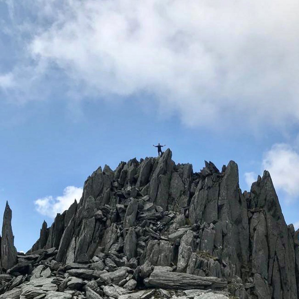
Head back down the way you came or as I mentioned at the start use this as the starting point for an extended walk around the Glyderau. I’ll end with a few less foggy pictures from some of my previous walks up here!


Leave a Reply